


Articles

The Regional DTM System and the DMVS Information System are currently in the operational phase
The project to create digital technical maps of the regions got underway during the summer months and is now in the operational phase.
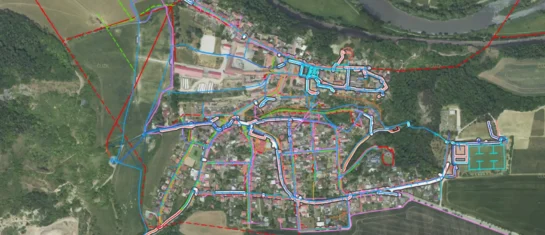
The Geoportal is a digital assistant for every municipality
MawisGeoportal is a modern web application that serves as a digital assistant for the efficient management of your municipality's assets.
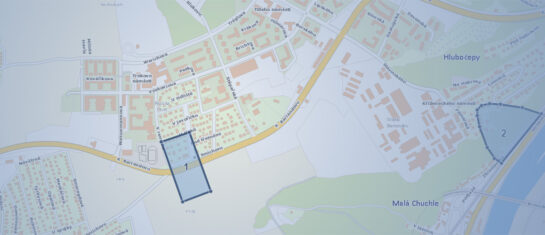
Simplify your queries regarding the existence of networks in the Mawis Geoportal
We are introducing the new "Support for Comments" module in the Mawis Geoportal, which will make it easier for network administrators to submit comments on construction projects.
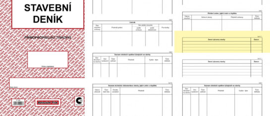
Integration of the Geoportal and the Stavee electronic construction log
The geoportal can now be integrated with the external application STAVEE Construction Log.

For 15 years, the MawisUtility bulk submission system has been fulfilling the goal of digitizing the building permit process
DTM and DSŘ can help, but they can't replace your own words.
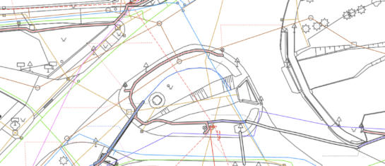
The Digital Technical Map of the Czech Republic is launching
The legal requirement to share technical infrastructure data is now in effect. We can help you digitize and manage your data.
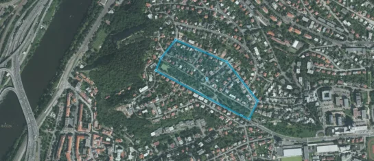
One-time submission of a request for a statement regarding the existence of networks
The new special license allows users to submit one request for a statement in the MawisUtility application.
Another round of calls for data submissions to the DTM regions has taken place
The DTM ČR project launches on July 1, 2024. We will help you fulfill all your obligations to the Czech Office for Surveying, Mapping and Cadastre (ČÚZK).
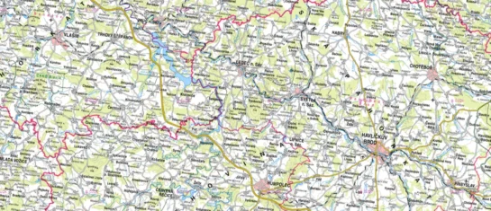
For now, printed maps do not belong in the recycling bin
Do you need to include a map with your project documentation? With the Map Export module in Geoportal, you can do it in a snap.
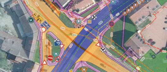
MawisGeoportal – A Revolution in Data Management and Sharing
MawisGeoportal for the effective visualization, publication, management, and sharing of your geodata and related documents.
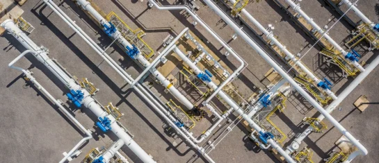
List of Transportation and Technical Infrastructure Administrators
Will the Register of Technical Infrastructure Entities or the Digital Technical Map of the Czech Republic ever be 100% complete?
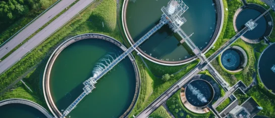
A digital technical map could also present an opportunity for water management
DTM offers the potential to digitize data on technical and transportation infrastructure in the Czech Republic.


