


Articles
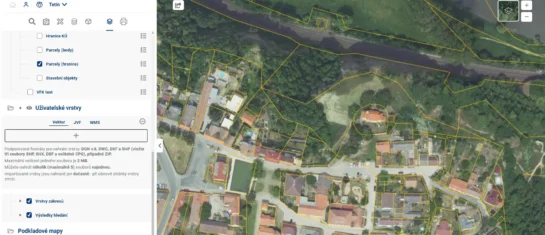
Uploading Your Own Data to the Geoportal Project
How do you upload your own or someone else’s data to the Geoportal project? There are three ways to do this. Let’s take a look at them.
What is the Digital Technical Map of the Czech Republic used for?
The DTM of the Czech Republic represents a huge step forward in the fields of geodesy and land-use planning, and its benefits will be indispensable in the construction process.
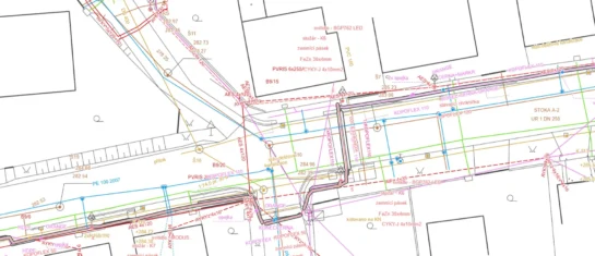
A new version of the format for DTM ČR has been released, and Mawis is ready for it
Version 1.4.3 of the unified exchange format for digital technical maps has been released for the submission of surveying data to regional DTMs.
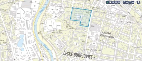
Discover a new dimension of geodata management with Geoportal
Discover the MAWIS Geoportal, a cloud-based mapping application for the efficient visualization, publication, management, and sharing of geodata.
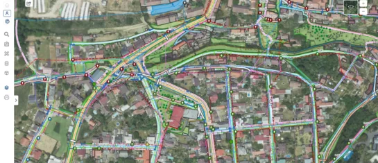
MawisGeoportal – a new map application
Geoportal is a new cloud-based mapping application for visualizing, publishing, managing, and sharing geodata and related documents.
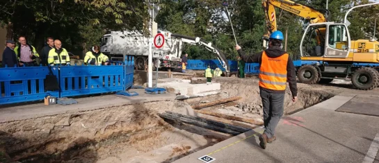
The Faculty of Civil Engineering at the Czech Technical University in Prague conducted research on the MawisPhoto service
From 2019 to 2022, the Department of Special Geodesy at the Faculty of Civil Engineering of the Czech Technical University in Prague conducted research on the MawisPhoto service.
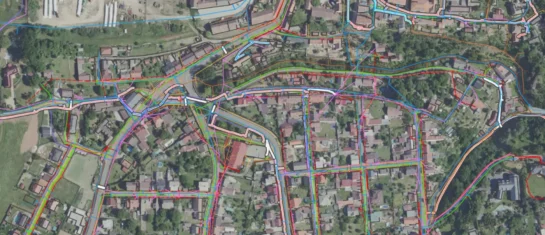
Digital Technical Map (DTM) in 2023 and Beyond
The deadline for entering data into the regional DTM system, which has been postponed several times, is approaching.
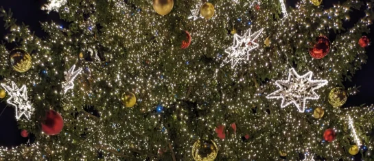
Merry Christmas and a Happy New Year 2024
We wish you a Merry Christmas and all the best for the New Year 2024.
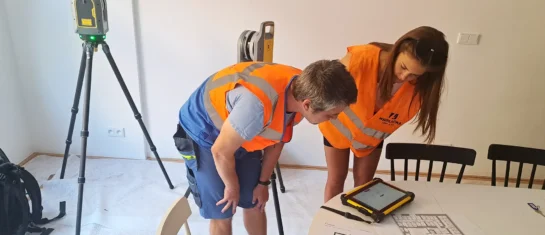
Laser scanning in the center of Prague
An innovative approach to interior design.
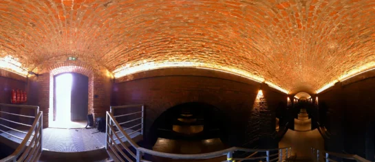
Visualization of the historic water towers on Žlutý kopec in Brno
Thanks to modern technology, you can “visit” these sights from the comfort of your own home.
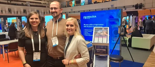
The 27th World Road Congress: An Event We Couldn't Miss
After 52 years, this extraordinary event has returned to the Czech Republic.
MAWIS: A Portal for Builders and Investors
Introducing our new visual identity.


