


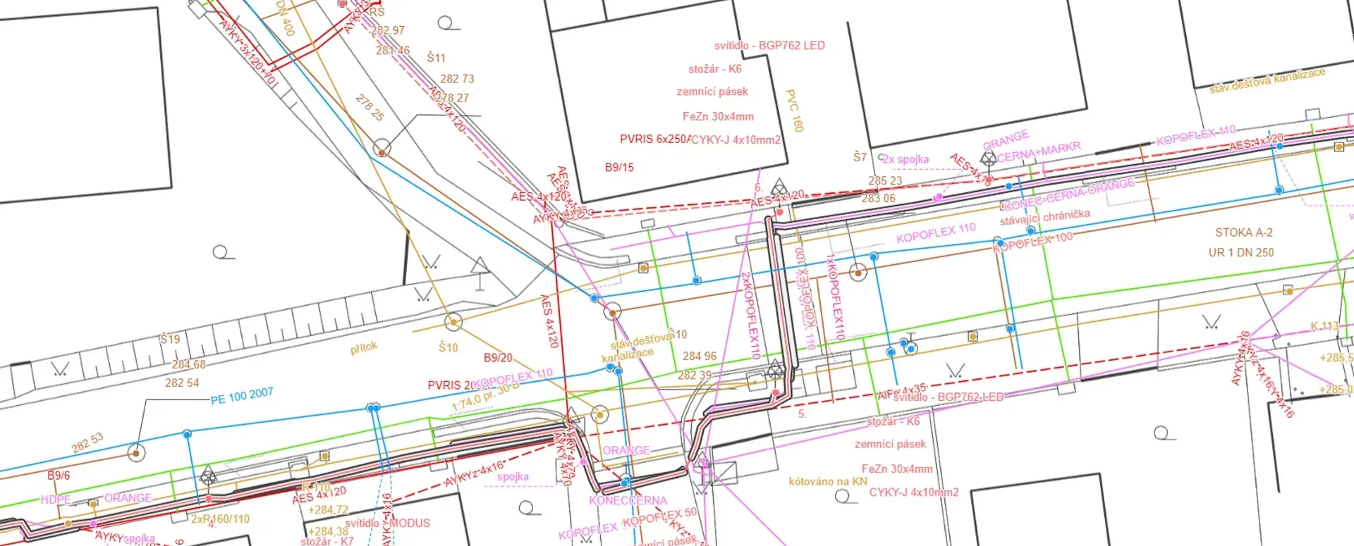
A new version of the format for DTM ČR has been released, and Mawis is ready for it
Version 1.4.3 of the unified exchange format for digital technical maps has been released for the submission of surveying data to regional DTMs.
Important updates regarding the Digital Technical Maps of the Czech Republic project.
1) Version 1.4.3 of the JVF DTM (Unified DTM Exchange Format) has been released
Version 1.4.3 has been successfully released and is now publicly available. For the pilot operation of the IS DMVS (Public Administration Digital Map Information System) and regional DTMs, it will be necessary to upload DI/TI digital and technical infrastructure data specifically in JVF DTM version 1.4.3. It is now finally possible to proceed with the data conversion to the correct version of JVF DTM.
We have the tools available to prepare your data for version 1.4.3 of JVF DTM.
2) The Czech Office for Surveying, Mapping and Cadastral Administration (ČÚZK) has established procedures for uploading data to the IS DMVS—it is necessary to use the software interface. The Czech Office for Surveying, Mapping and Cadastral Administration has established specific procedures for uploading regional DTM data via the IS DMVS. Unfortunately, uploading documentation will only be possible via software. Only web services will be available for uploading documentation to the IS DMVS; these services will receive data via the API of the relevant program on the user’s side. For all DI/TI owners and their editors, this means they must have the appropriate software.
We are developing our MawisGeoportal to help you submit your data to the regional DTMs via the IS DMVS.
3) There is no longer any need to wait
. The pilot operation of the DMVS and DTM regional information systems will begin on July 1, 2024.
We are ready to assist you with all matters related to DTM ČR.
For assistance with converting your documentation to JVF DTM and using the DTM Editor, please contact us via our website:

More similar articles

Handover without complications—we’ll handle the data entry into the Czech Republic’s Digital Terrain Model (DTM) for you
Are you finalizing the building inspection? We'll take care of entering the data into the DTM ČR and issuing the PGAD and EDTI identifiers for you.

How do I obtain a record identifier in the Digital Technical Map?
It is now mandatory to provide the Digital Technical Map record identifier when applying for a building occupancy permit. We can help you with this.
Digital Technical Map and MAWIS Services – Potential for Construction, Management, and Maintenance
MAWIS's digital services, in conjunction with the Digital Technical Map, support the construction process in the Czech Republic.


