MawisTools
Analysis of Data and Drawings
MawisTools is a set of specialized tools for processing data from the real estate cadastre, CAD drawings, GIS layers, and public data sources.
- Tools for working with land registry data
- Calculations and analyses of spatial data
- Data Format Conversion
MawisTools is a practical tool for surveying and design firms in the digital environment. It helps save time, improve the accuracy of outputs, and streamline collaboration across different professional disciplines.
Geomatics Tool Library
MawisTools includes the following list of services, all bundled together in a single package.
Locating the parcels in question
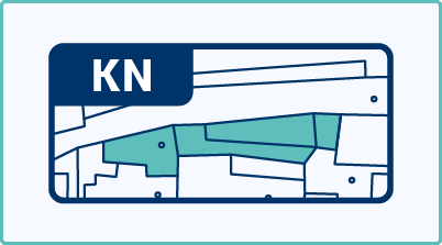
We map the data from the DGN/DWG drawing onto the land registry, allowing you to quickly and efficiently obtain information about the relevant parcels. The output includes data on parcels, buildings, and units, along with a link to the Land Registry Viewer application for accessing information about the owners.
More informationIdentifying the affected soil blocks
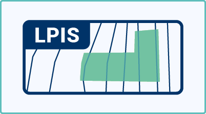
We will map the data in the DGN/DWG/SHP drawing onto the real estate cadastre from RÚIAN. We generate the relevant parcels and then locate the corresponding land blocks from the LPIS registry. The output contains data on the relevant parcels, including information on the affected land blocks.
More informationBulk view of owners
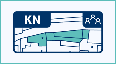
The Excel list of parcels (XSLX), which is generated by the “Search for Affected Parcels” or “Search for Affected Land Blocks” tools, is populated with a list of current owners from the real estate cadastre using the Web Service for Remote Access (WSDP). WSDP data are online services provided by the Czech Office for Surveying, Mapping and Cadastre (ČÚZK) that show the current status of the real estate cadastre.
More informationComparison of the Cadastral Register over time
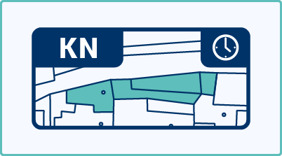
Based on the Excel list of parcels (XSLX), which may be generated by the “Search for Affected Parcels” or “Search for Affected Land Blocks” tools, the system generates DGN drawings and an XLSX list indicating whether there have been any changes in the areas and geometries of parcels in the real estate cadastre since the input list was created. Real estate cadastre data is updated daily.
More information3D volume calculation

This tool is used to calculate the volume between two surfaces defined in the input DGN file.
More informationSurface model

The tool generates a photorealistic surface model from Digital Elevation Model (DEM 5G) data and the Czech Republic orthophoto in SketchUp format.
More informationCAD Drawing Content Statistics
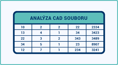
We generate statistics on the contents of a CAD drawing in the form of an Excel spreadsheet containing information about objects (element type, color, thickness, style, font, cell) and statistics (number of elements, sum of 2D lengths, sum of 3D lengths, and sum of areas). Supported formats are DGN V8 and DWG/DXF.
More informationConversion of JVF DTM to DGN/SHP
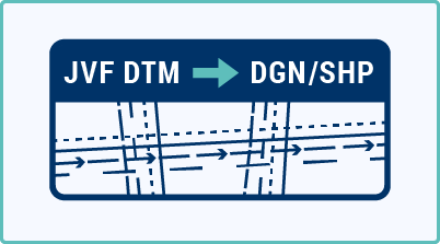
The converter allows you to create a drawing in DGN/SHP format from JVF DTM data, which you can view in your favorite application without any further manual adjustments.
More informationConverting SHP to DGN
This tool allows you to convert data in ESRI SHP format into a DGN V8 file, which you can view in your favorite application.
Converting SHP to DGNConvert DGN to DXF/KML/SHP
The tool allows you to convert DGN drawings into KML, SHP, or DXF-GNSS files, ready for use in GIS or CAD systems.
Convert DGN to DXF/KML/SHPBenefits of the service
MawisTools can replace complex and expensive systems. You don't have to worry about the number of users or licenses. We speed up, simplify, and automate the most common tasks involved in working with geodata.
Price List
Choose the license that’s right for you. All available tools are included, and the plans differ in the number of analyses performed.
The license will be activated within 3 business days of completing the order.
Validity period: 1 year from the date of purchase. Credits are non-transferable.
Standard
Premium
Enterprise
30-day trial
Fill out the form and we'll send you FREE 30-day access to the MawisTools library so you can try out the geomatics tools.