


MawisTools
Surface model
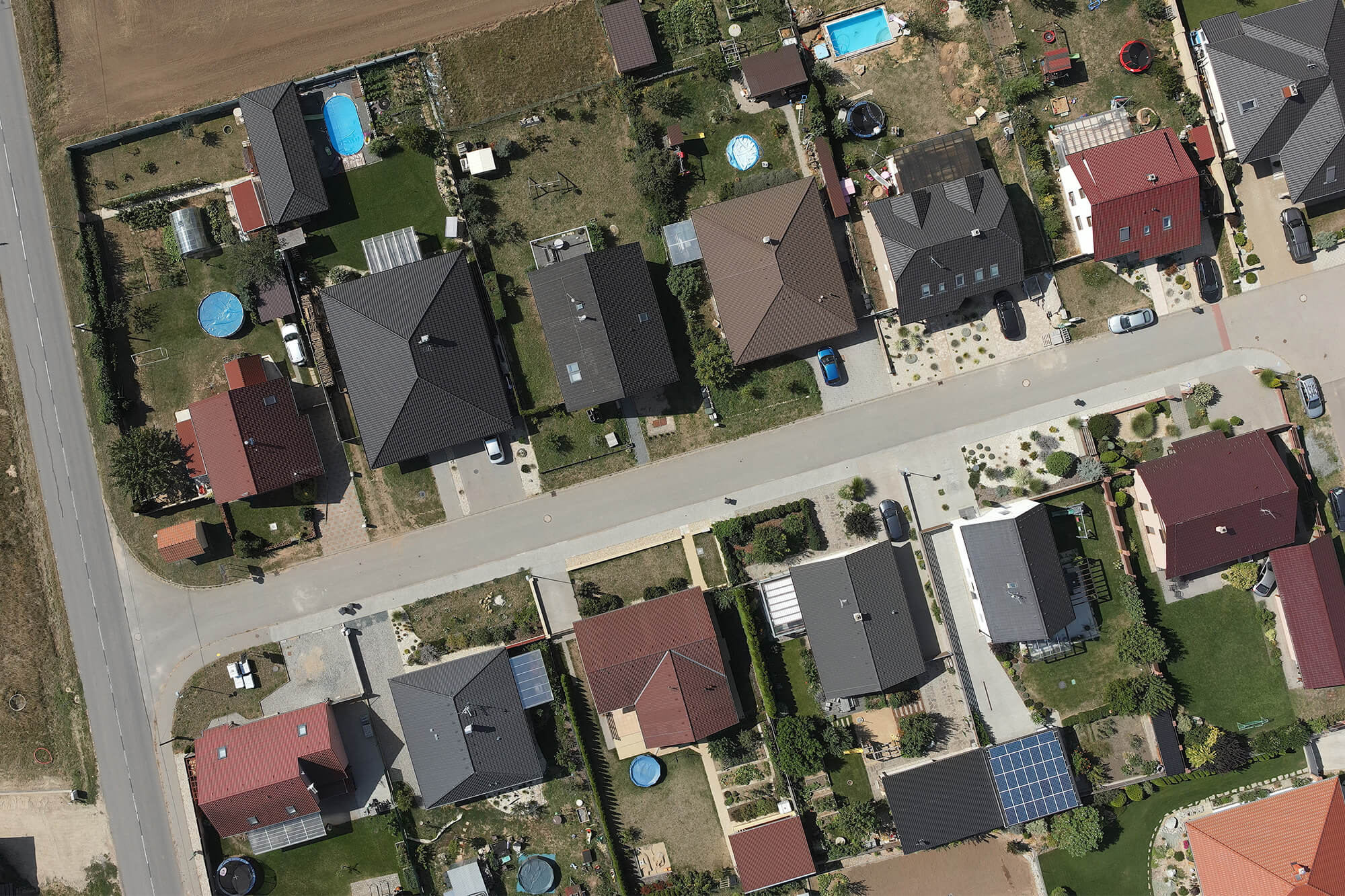
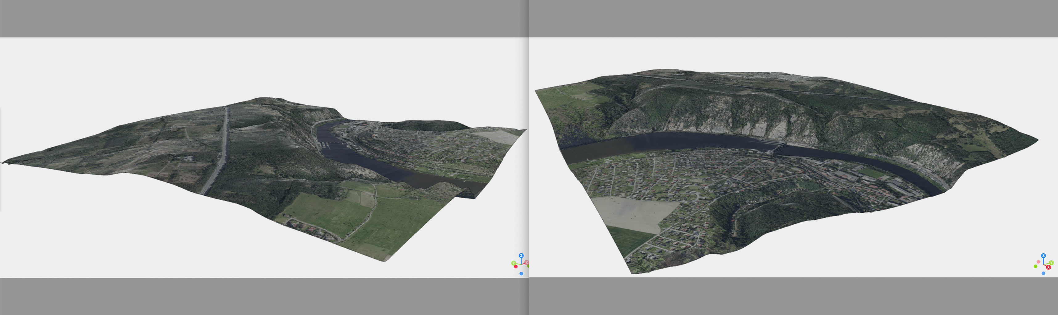
The tool generates a photorealistic surface model from Digital Elevation Model (DEM 5G) data and the Czech Republic orthophoto in SketchUp format.
This task will allow you to
Create a 3D model in SketchUp format (SKP) with texture mapping using input data from the Digital Elevation Model (DEM 5G) and the orthophoto of the Czech Republic provided by the Czech Geodetic Institute (ZÚ).
Inputs – what they should look like
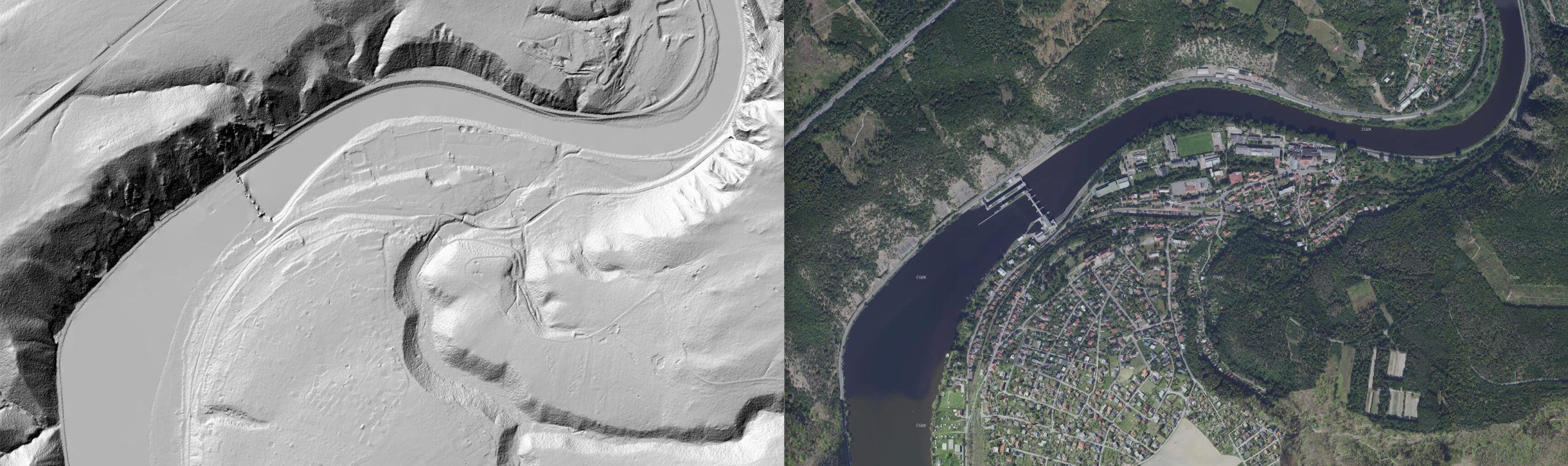
- 5G Digital Elevation Model – input file containing the XYZ spatial data of the 5G Digital Elevation Model (DEM) from the Cadastral Office
- Image with coordinates (JPEG + JGW) – input orthophoto files for the Czech Republic located at the same coordinates as the 5G DMR data
Outcomes – What Will I Actually Get?
- 3D photorealistic surface model with textures in SketchUp format
- Report on the completed process, including status information
30-day trial
Fill out the form and we'll send you FREE 30-day access to the MawisTools library so you can try out the geomatics tools.