MawisGeoportal
DTM Networks for Builders
Information on utility networks, along with other map data for land appraisals within the Czech Republic.
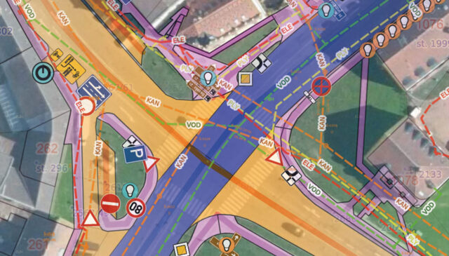
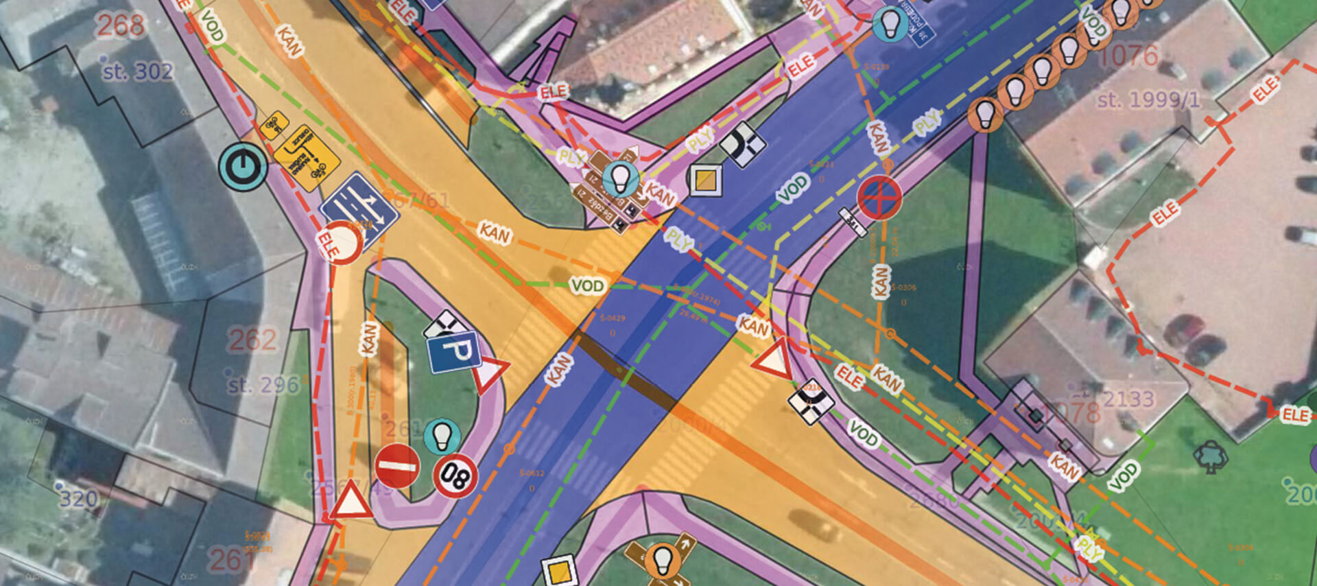
DTM Networks is a mapping application for visualizing utility networks from the state project “Digital Technical Map of the Czech Republic.”
- Displays utility network data from digital technical maps of the regions
- It allows you to upload a drawing of your own project along with the DTM data
- Includes an advanced Land Registry module with a link to the Land Registry Viewer
- It also displays other thematic base maps that can assist in land analysis
MawisGeoportal offers a clear and user-friendly interface for viewing and editing geodata, which can be made available to authorized users or published to the public without restrictions. All of this takes place in an online environment where the geodata is always up to date and immediately available.
Utilities
The application displays information about transportation and technical infrastructure as a whole, as well as broken down by network type—i.e., sewer, water supply, power lines, gas pipelines, etc.—as separate layers. Clicking on the map displays descriptive attributes of the nearest network elements, including the owner and operator.
WMS layers
In addition to utility network data, the application can also display other useful thematic map layers, such as protected areas, ecological stability zones, hunting grounds, areas prone to wind erosion, floodplains, soil fertility records, geological maps, and areas affected by underground mining.
Uploading Your Own Data
The application allows you to upload your own data in DGN, DWG, DXF, SHP, and JVF DTM formats and compare the area with data from the Czech Republic Digital Terrain Model (DTM ČR). Check whether any utility networks or technical and transportation infrastructure are present in the area, as recorded in the regional DTM.
Land Registry
You can search the Land Registry by entering the cadastral area number and parcel number. The results provide information about the property, with the option to click through to the Land Registry View. Cadastral districts, parcel boundaries, buildings, easements, and parcels by land use or land type are displayed as separate layers.
Spatial search
To find parcels and addresses in a selected area, you can use a spatial search by point, line, or area and generate a list of, for example, all relevant parcels.
Measurement
The measurement module allows you to read coordinates using points, measure line lengths, and calculate the areas of polygons. The measurement module also includes the ability to add notes to the map.
Print Map
At any time, you can save the current view of the utility networks displayed in the map window, send it to someone else to share, print it, or save it as a PDF.
Extensibility
The app can be expanded at any time with additional map data, which is provided as open data in the WMS web map format. Users can add this data themselves.
Price List
The license will be activated within 3 business days after the order is completed.
DTM networks
I can help you with MAWIS services

Ladislav Bláha
Technical Consultant for MAWIS Portal Services