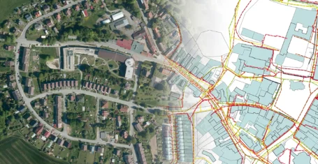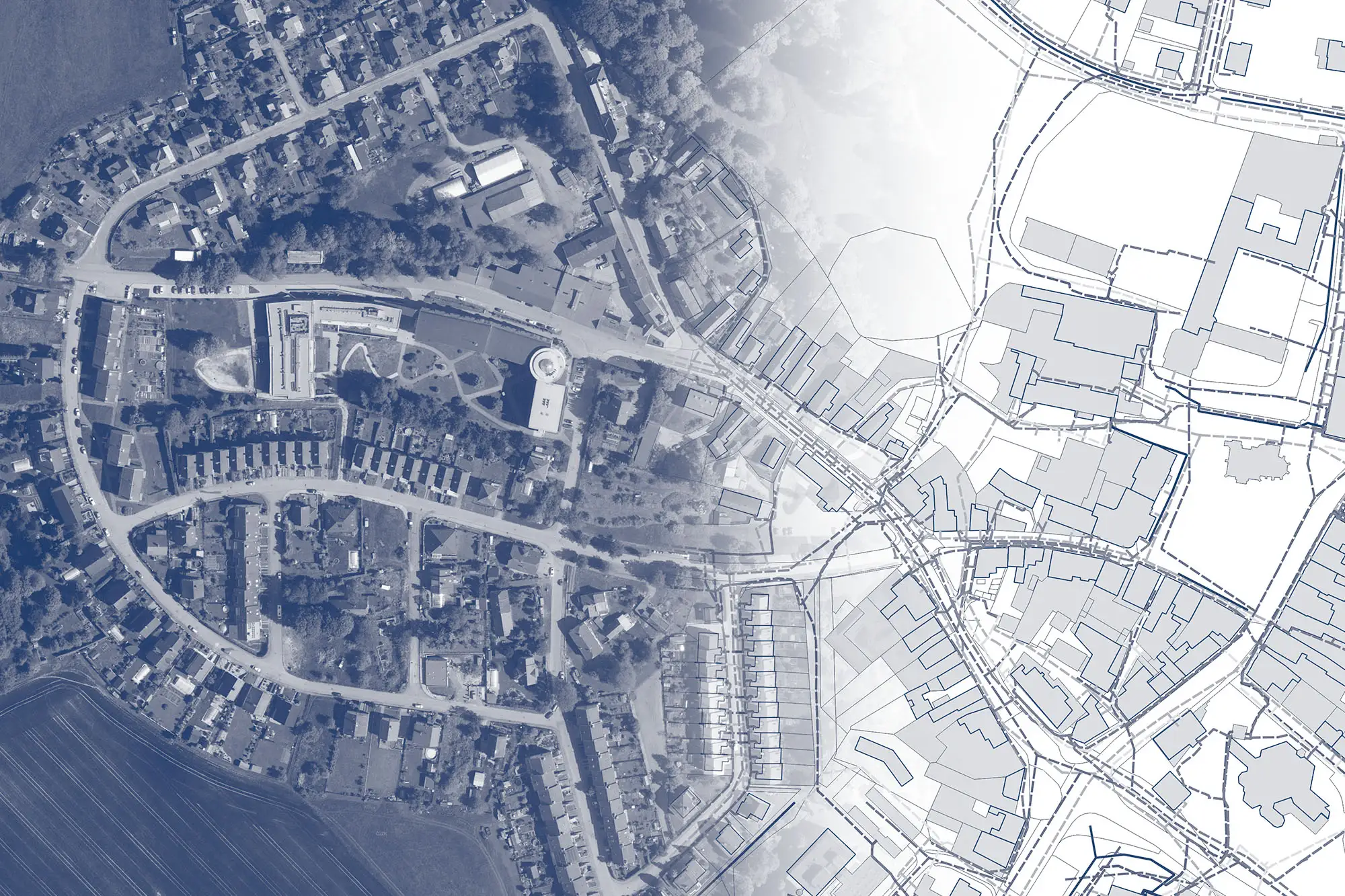
Geoservices for construction, planning, implementation, and operation
MAWIS service offerings depending on what you do:
Utilities
Services that support the work of owners, managers and operators of technical infrastructure.
Municipalities
Services for municipalities and counties in their role as custodians of public property and mapping data.
Builders
We support builders in engineering, design and construction.
Designers
Application support for building designers. Plotting and surveying for buildings, utilities.
… according to the life cycle of the building or your living situation.
MAWIS products and services by name:
SUPPORT FOR EXPRESSING OPINIONS ON NETWORKS
Bulk identification of all utility managers and submission of requests for statements on the existence of utilities.
Public submissions through which builders can submit applications to municipalities, counties, or administrators free of charge.
Turnkey statements, not only on the existence of utilities, from utility infrastructure managers affected by construction.
DATA DISPLAY AND EDITING
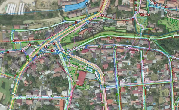
Map application for visualization, publication, management and sharing of geodata and related documents.
Information on utility networks along with other map documents for land valuation throughout the country.
Creation, processing and publication of spatial analysis data for administrators, municipalities and regions.
PROFESSIONAL TOOLS FOR ENGINEERING
Advanced analytical and processing tools for working with geodata and cadastral data.
A tool for data conversion into the uniform exchange format of the Digital Technical Map of the Czech Republic (JVF DTM).
DIGITAL SERVICES FOR CONSTRUCTION
Accurate and fast documentation of buildings and creation of 3D model using a mobile phone.
PROPERTY SETTLEMENT
Preparation of contracts, documents and proposals for entry into the Land Registry in the engineering of buildings.
Monitoring of the status of property rights negotiation of easements for both mandators and investors.
A turnkey study for your construction engineering and property documentation.
DATA ENGINEERING NETWORKS
We will help you with DTM. Together, we can handle the creation and maintenance of engineering network data!
Blog and articles
MawisUtility: a digital solution for bulk submission of network existence requests
The application is able to identify all network administrators in a given area and ask them for their comments on the proposed construction at once.

DTM Czech Republic – important changes in building approvals
A significant legislative change that will affect the process of building approvals and obligations related to the Digital Technical Map of the Czech Republic.
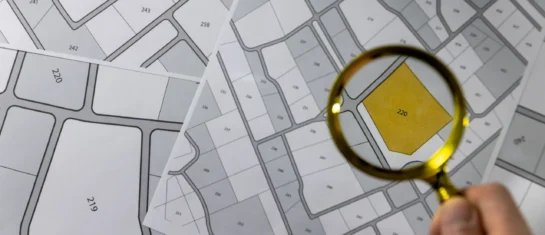
Cadastre and thematic maps in Geoportal
The Real Estate Cadastre module offers not only cadastral maps but also parcel search, connection with registers and import of VFK format.
