MawisGeoportal
Space for your data
MAWIS empowers you to work with your data. It offers features for everyday use.
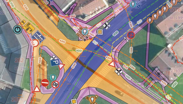
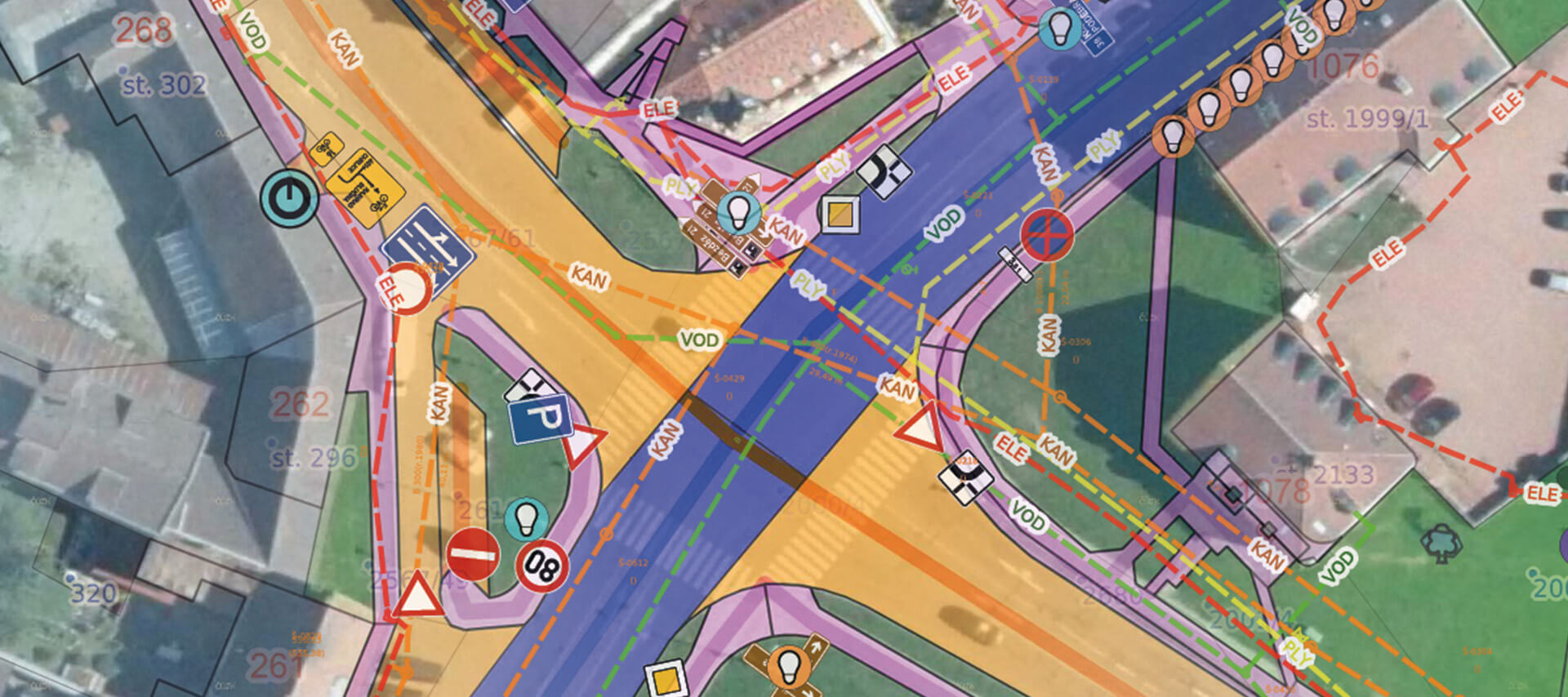
MawisGeoportal is a mapping application for visualizing, publishing, managing, and sharing geodata and related documents.
- Clarity. Geodata in one place, ready for use in both 2D and 3D
- Time and Efficiency. Support for Daily Management and Decision-Making
- Visualization. Spatial data and maps in a broader context
- Versatility. Working with your own data as well as other data—such as technical maps, utility networks, property inventories, the real estate cadastre, and more
MawisGeoportal offers a clear and user-friendly interface for viewing and editing geodata, which can be made available to authorized users or published to the public without restrictions. All of this takes place in an online environment where the geodata is always up to date and immediately available.
The features you need
We created the geoportal for everyday use. It allows you to work with your geodata simply, quickly, and efficiently.
Digital Technical Map
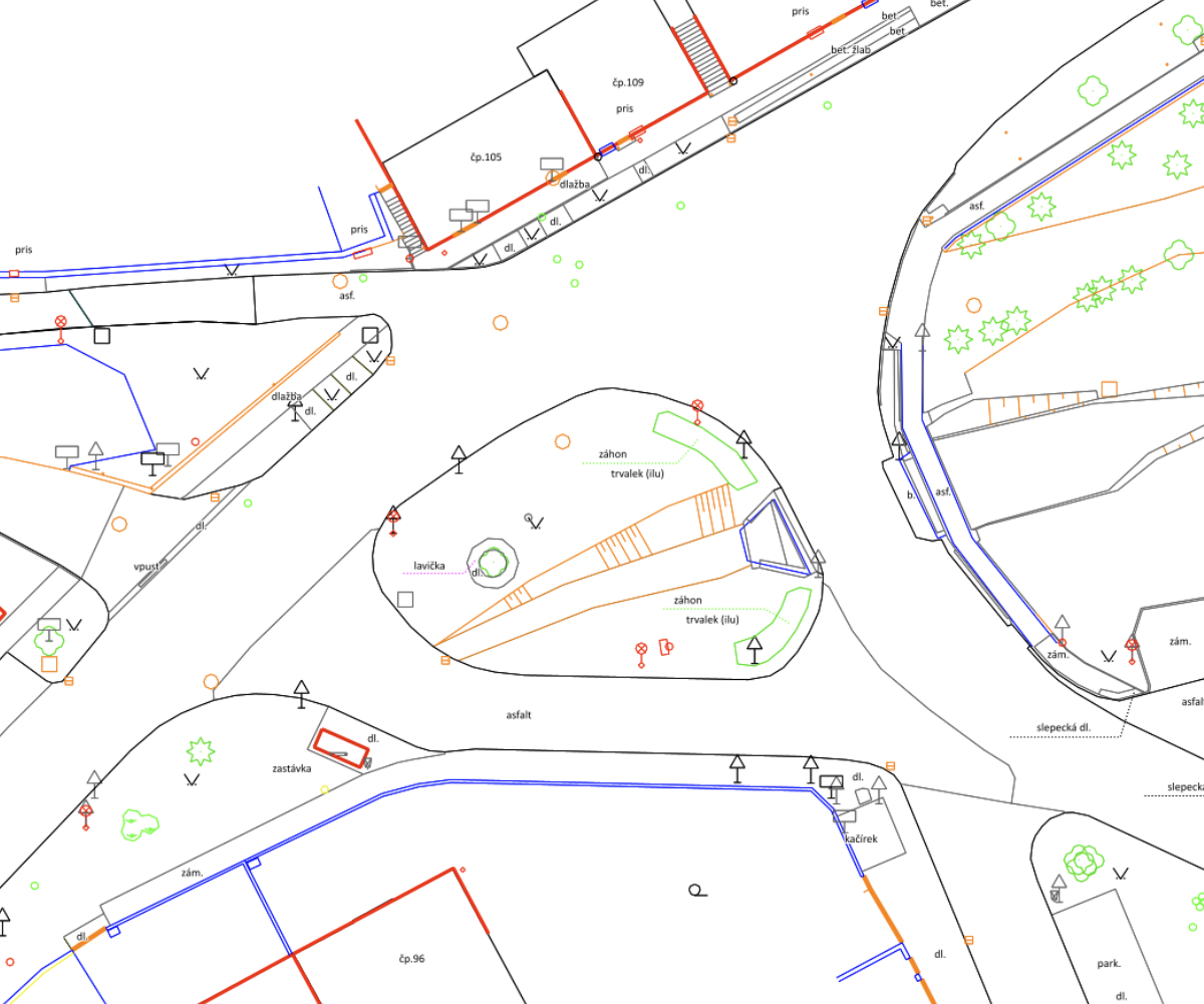
View and manage your data for the digital technical map, with support for import and export. Data validation, visualization, and change tracking. Upload to regional systems via the IS DMVS.
Utilities
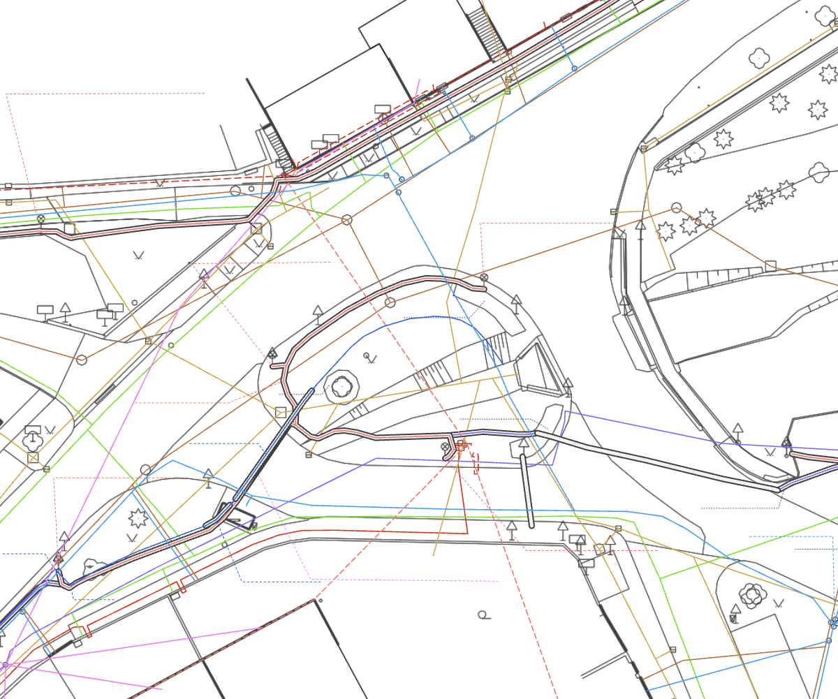
Visualization, management, and sharing of documentation for existing utility networks. Streamlining the process of handling requests for confirmation of the presence of utility networks in the specific area where the investor plans to build.
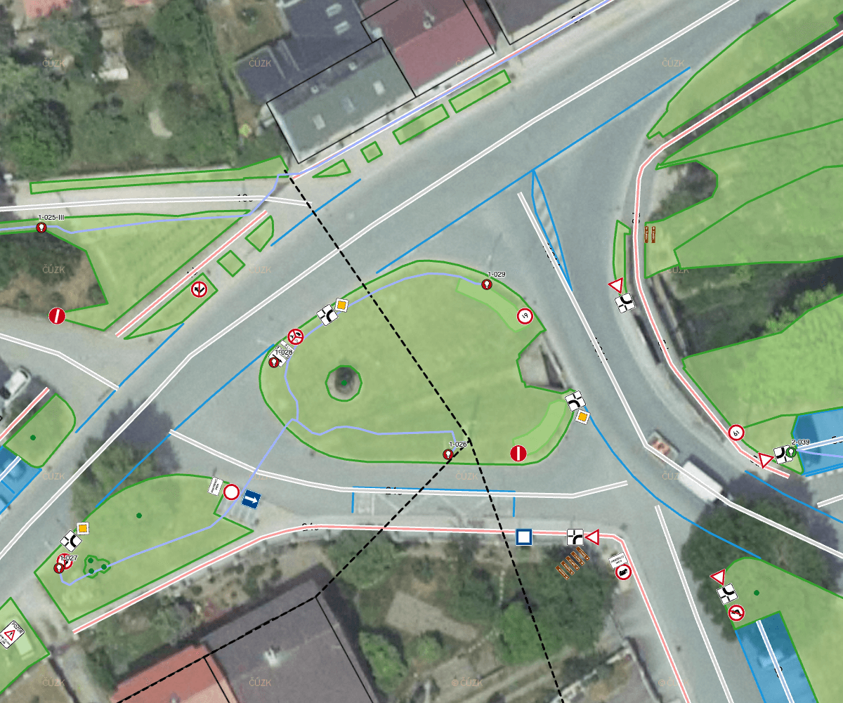
Asset Inventory
Information about your property, to which you can attach documents, contracts, or photos. Street lighting, roads, traffic signs, landscaping, recycling, and other customized property records.
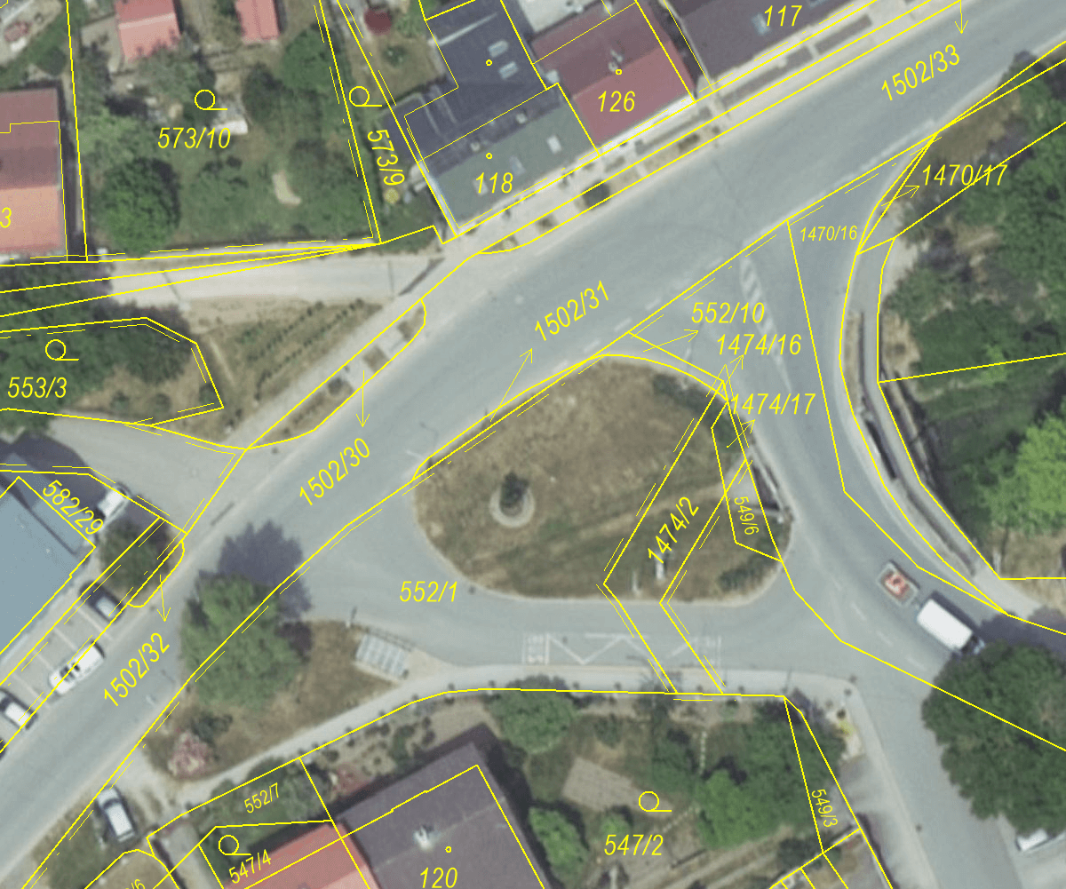
Cadastral data
Advanced features for land registry data. Visualization and search capabilities for properties, including utility networks. Information on property owners via the Land Registry Inquiry service.
Key Features
Mawis is already used by more than 11,000 users. Sign up and manage your data with ease.










Are you ready for a better geoportal?
MAWIS can help you! Technical infrastructure managers use it every day. Join us and launch your first project with a better geoportal.
Frequently Asked Questions
We created MAWIS to enable simple, fast, and efficient work with geodata, designed to save time and money.
What is MawisGeoportal, and what is it used for?
Geoportal is a cloud-based mapping application for visualizing, publishing, managing, and sharing geodata and related documents. Geoportal offers a clear and simple way to view and edit geodata, which can be made available to authorized users or published without restrictions to the public. All of this takes place in an online environment where geodata is always up-to-date and immediately available.
How can MawisGeoportal help with infrastructure management?
The geoportal will facilitate the sharing of documentation on assets and technical infrastructure networks. When a team uses a web-based mapping application and shares up-to-date documentation, their collaboration on operational tasks becomes more efficient. In addition to map documentation, the geoportal can also contain any other electronic documents related to individual elements.
What types of support and services are available to MawisGeoportal users?
The geoportal is provided as part of access to Hrdlička’s broader range of services. Our GIS and CAD data specialists and surveyors are ready to assist you with preparing customized data tailored to your needs, as well as any necessary field surveys.
What are the costs and available packages for using MawisGeoportal?
For information on pricing, deployment options, and collaboration, please fill out the inquiry form or contact a sales representative, who will prepare a customized quote based on your needs. The price of the Geoportal consists of a license fee and the cost of deploying data layers, which depends on the type of data, format, and extent of the lines or areas.
How can I start using the Mawis Geoportal to manage infrastructure in my organization?
You can launch the demo application right now for a free 30-day trial. The sample project will allow you to see if the pre-configured records and the Geoportal itself can help you manage documentation within your organization.
Does MawisGeoportal support communication and the sharing of DTM data with the IS DMVS?
The geoportal is ready to integrate with the IS DMVS. It stores object identifiers from the regional DTM and tracks changes so that it can be used to import updates to the documentation into the IS DMVS in the JVF DTM exchange format.
I can help you with MAWIS services

Ladislav Bláha
Technical Consultant for MAWIS Portal Services