


MawisGeoportal
Asset Inventory
Asset
inventory with an emphasis on up-to-date information:
Contracts and other documents right in Mawis
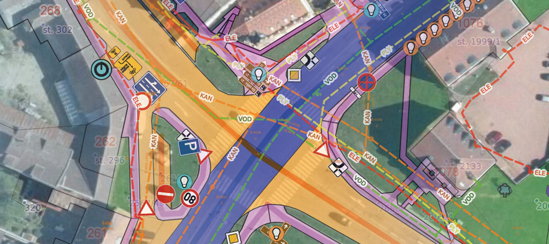
The most challenging part of asset inventory management is keeping the system up to date. To avoid having to constantly search for documentation across different systems, Mawis allows you to add additional attachments to each property, such as contracts, photos, or records of on-site technical inspections.
Advanced Management of Access to Passport Data
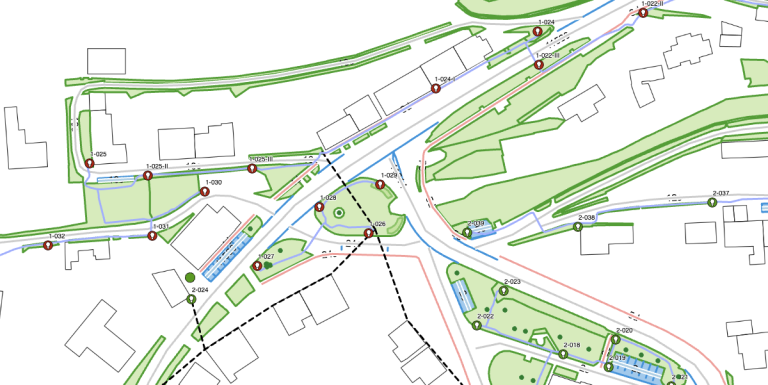
To enable efficient sharing of asset data both within and outside the organization, you can define any number of views for asset records and assign them to individual users. This allows you to specify who can view the data and who can edit it, and you can even define visibility at the individual attribute level.
Smart metering on the map
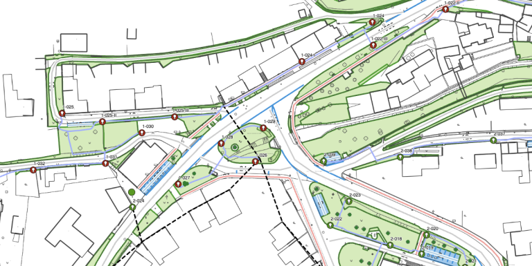
The Mawis Geoportal map window includes tools for measuring distances and areas and for capturing coordinates. Measured points, lines, and areas can be easily edited, exported, or shared.
Mawis’s measurement features can work with underlying data and objects, making measurements even more accurate because you can “lock onto” a specific element with the cursor.
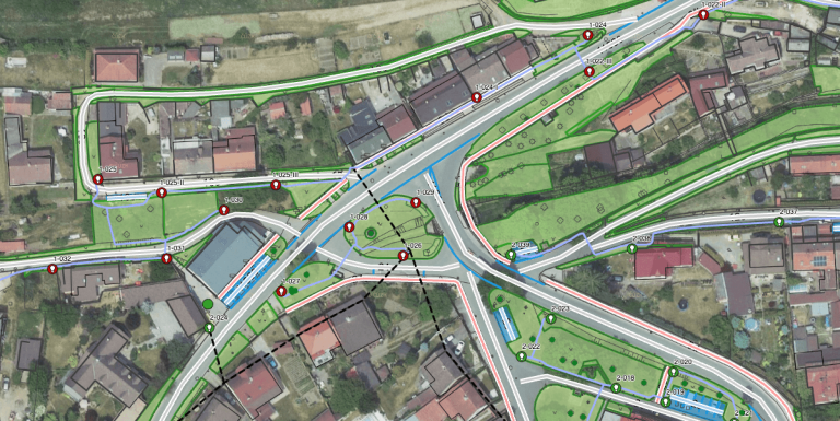
And lots of other great features
Are you ready for a better geoportal?
MAWIS can help you! Technical infrastructure managers use it every day. Join us and launch your first project with a better geoportal.
Available property records
Local roads
Classification in accordance with the Road Traffic Act. Data on category, class, type, number, name, width, length, condition, number of bridges, etc. Presented as a line graph of roads or including their precise geographical boundaries.
Traffic signs
It contains attributes regarding the location of vertical traffic signs in accordance with the regulation implementing the rules of the road: type of sign (traffic signs), sequence, material, condition, and design.
Greenery
Records of municipal green spaces and information on their maintenance – records of maintenance work performed. Includes trees, shrubs, hedges, tree-lined avenues, flower beds, and groups of trees, shrubs, and woody plants. Use of the most accurate map data. We provide a detailed dendrological assessment of the condition of woody plants.
Street lighting
Information about point and line objects—distribution panels, lighting points, and wiring within individual circuits. Thematic reports – e.g., light points by distribution panel or light sources by type, ability to create custom reports, total circuit power consumption, etc. Ability to locate by light point number.
Street furniture
This includes benches, trash cans, dog waste bags, advertisements, flower pots, playgrounds, and sandboxes, along with information on their condition, materials, and placement.
Recyclable waste
It includes individual container locations with information on their classification by waste type, placement, and capacity.
Cemetery
Information about the cemetery, groups of graves, grave sites, and the deceased, with the option to link to the municipal records showing an overview of paid and unpaid fees.
I can help you with MAWIS services

Ladislav Bláha
Technical Consultant for MAWIS Portal Services