Visualize your project in 3D
MawisPhoto offers you a modern way to manage documentation in 3D.

Accurate and fast 3D documentation of buildings using a smartphone.
MawisPhoto services allow you to document buildings and structures as well as landscapes in 3D, monitor safety on construction sites, and track costs. In a geodetically accurate 3D model, you can measure distances, areas, and volumes.
1. 3D Documentation with a Cell Phone – Accurate and fast documentation of buildings and creation of 3D models using a cell phone.
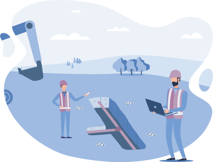
MawisPhoto is a service for documenting construction projects and creating 3D models for use throughout the construction process.
MawisPhoto offers you a modern way to manage documentation in 3D.
A demonstration of construction documentation using a mobile app in the field and the resulting 3D model.
Examples of Our Work – 3D Models of Mast Bases and Other Structures.
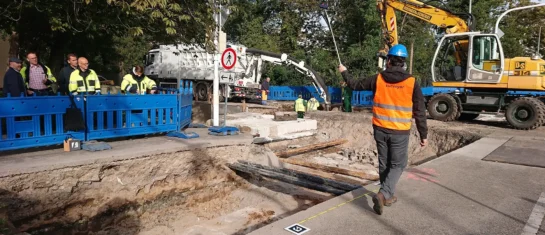
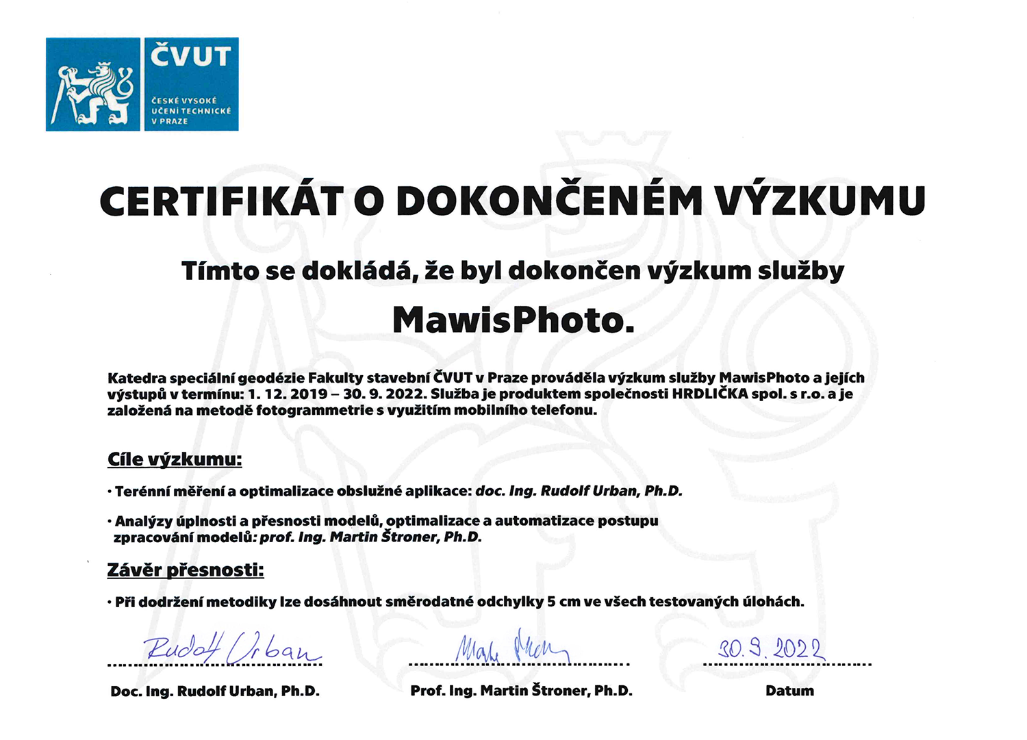
From 2019 to 2022, the Department of Special Geodesy at the Faculty of Civil Engineering of the Czech Technical University in Prague conducted research on the MawisPhoto service.
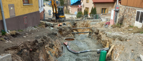
On April 7, 2022, HRDLIČKA spol. s r.o. demonstrated the MawisPhoto software—Beta version—directly on-site at our construction project.
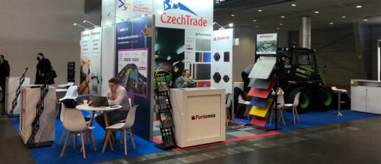
Our MawisPhoto service, which allows users to create modern 3D documentation using a mobile phone, has attracted the interest of customers both domestically and abroad.
The MawisPhoto service, which is based on photogrammetry using a mobile phone, has received the accuracy certification required for creating surveying plans of buildings.
The Department of Special Geodesy at the Faculty of Civil Engineering, Czech Technical University in Prague, investigated the accuracy of models created using a combined method, i.e., geodetic surveying of control points and data capture via the MawisPhoto mobile app. It confirmed an accuracy of 5 cm when the recording methodology was followed.
MawisPhoto is a method that can be used for surveying specific parts of a construction site (such as an excavation) using video footage and geodetic surveying of control points, whether for operational reasons (the need to quickly resume construction) or safety reasons (video footage can be captured without workers having to enter a potentially hazardous area).
When surveying control points, the method of creating a model using the MawisPhoto app is a valid procedure for conducting a as-built survey of a structure with an accuracy of 5 cm.


years on the market
users
3D models created