


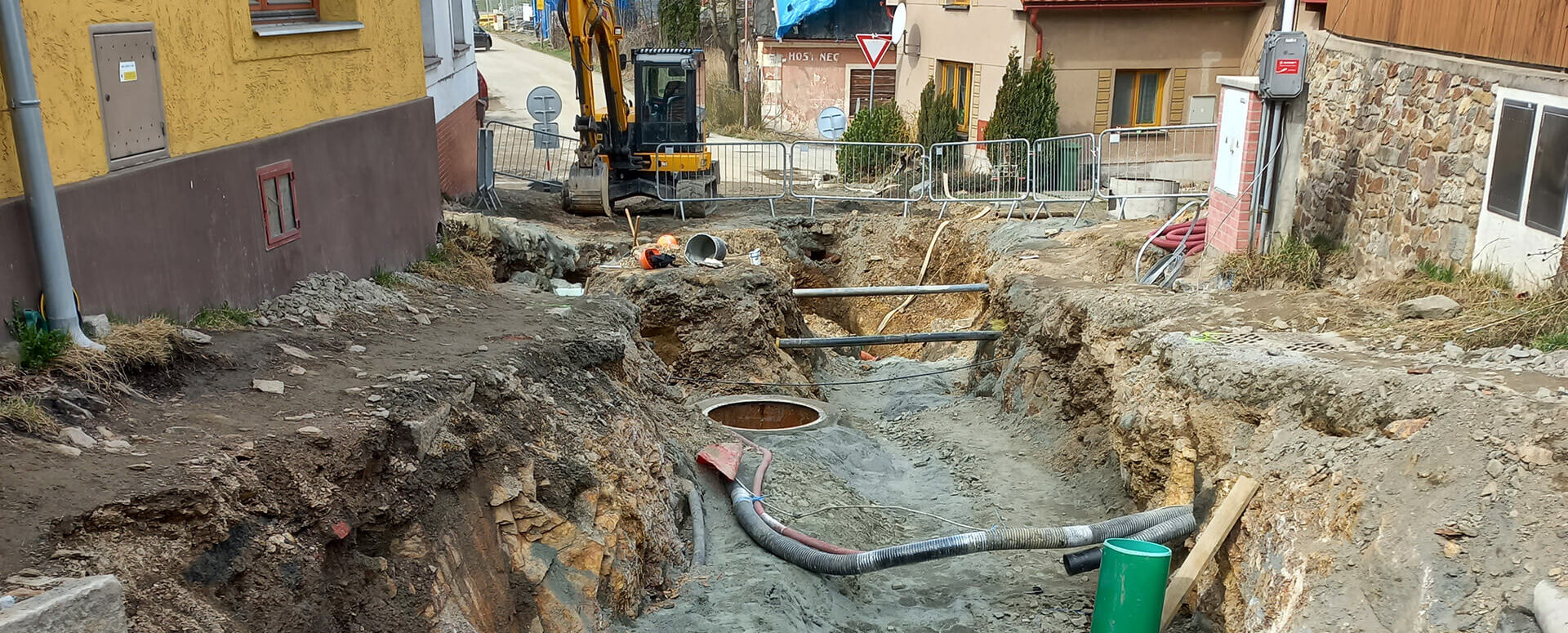
MawisPhoto at the Chotěboř construction site
On April 7, 2022, HRDLIČKA spol. s r.o. demonstrated the MawisPhoto software—Beta version—directly on-site at our construction project.
“On April 7, 2022, HRDLIČKA spol. s r.o. demonstrated the MawisPhoto software—Beta version—directly on-site at our construction project: Buttulova. We then had a 3D model of the construction site created (georeferenced using points marked with QR codes) to document the condition of the subsurface infrastructure. Thanks to this, we now know retrospectively how deep our utility lines are laid, whether basic standards were met, whether there are any line crossings, etc. We will use this document as an effective and accurate basis for future decisions, such as in the case of repairs. We were satisfied with the training and collaboration, and we see the MawisPhoto software solution—Beta version—as an important component in the further planning of construction modifications.”
Jan Vlach, IT Specialist, Chotěboř City Administration

More similar articles
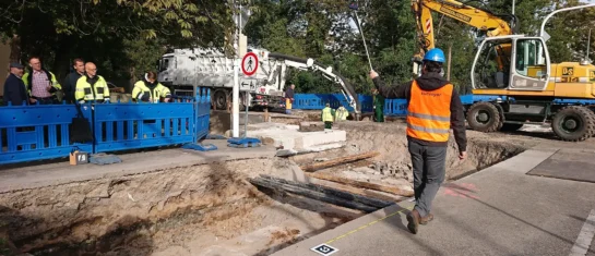
The Faculty of Civil Engineering at the Czech Technical University in Prague conducted research on the MawisPhoto service
From 2019 to 2022, the Department of Special Geodesy at the Faculty of Civil Engineering of the Czech Technical University in Prague conducted research on the MawisPhoto service.

MawisPhoto is also making a name for itself abroad
Our MawisPhoto service, which allows users to create modern 3D documentation using a mobile phone, has attracted the interest of customers both domestically and abroad.
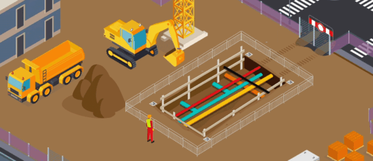
The digital transformation of the construction industry is here
MawisPhoto offers a modern way to keep 3D records using your smartphone.


