aktuality_do_mailuarrow-backarrow-bottomauthorbasketbezbarierove_mestoblockquotebtn-arrow-backbtn-arrowcalendarcheckcheckedclosedigitalni_evidencedopravni_znaceniemailfacebookfaqfb-circlefooter-imghousehrbitovinfointuitivni_ovladanikatastralni_datalarge-arrow-bottomlinklinkedin-sidebarlinkedinlist-arrowlockloginmapamistni_komunikacemobiliar_obcemobilni_aplikacemodul_DTMmunicipalitynastaveni_roli_a_spolupracenavrhy_na_vkladnewsletterochrana_obyvatelodeslaniphonepozemkove_upravypresnostprojektantiregcountsearchservice1service2service3service4silne_zabezpeceni_a_dostupnostsmlouvy_na_klikspoluprace_nad_dokumentacispravcistavebnicisubjektysupporttechnicka_infrastrukturatriangle-bottomtrideny_odpadtwitterutilityuzemni_planverejne_osvetleniwebova_aplikaceworkerxingyoutubezadatelzelenzivotni_cyklus_stavbyzivotni_situacezrychleni_vystavby

MAWIS Products

Support for expressing opinions on social media
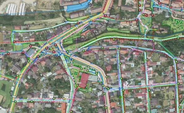
It identifies all utility network operators at once and prepares a request for their input. Every builder has a legal obligation to provide statements from all relevant utility providers. MawisUtility saves you time, makes no mistakes, and is fast because it creates requests for all utility providers at once.

MawisUtility – Statement on the Existence of Networks

Viewing and editing data

A cloud-based mapping application for visualizing, publishing, managing, and sharing geodata and related documents. All your spatial data in one place. Share with your team and customers. Advanced access control settings. Publish data privately (password-protected) or publicly.

MawisGeoportal – a new map application

Geoportal is a new cloud-based mapping application for visualizing, publishing, managing, and sharing geodata and related documents.

Professional engineering tools

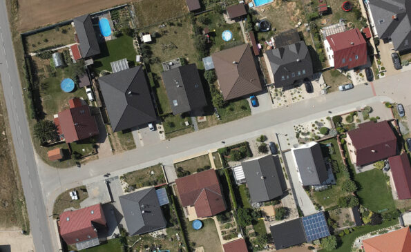
Advanced analysis and processing of land registry data. Searching for land parcels in the LPIS registry. Analysis of the content of DGN/DWG/DXF drawings. Data conversion between DGN and SHP formats. Export of cadastral data from the RÚIAN registry. Tools for checking and converting data from the Digital Technical Map of the Czech Republic.

MawisTools – Search for affected cadastral parcels and LPIS land blocks

Digital Services for Construction

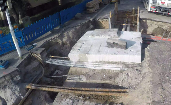
Construction documentation using 3D models, safety inspections on the construction site, and tracking of billed costs. Quick surveying of subsurface conditions prior to backfilling. You can also measure distances, areas, and volumes in a geodetically accurate 3D model.

MawisPhoto – 3D mobile phone documentation of the Radeton training range

Property Settlement

It simplifies the creation of contracts, documents, and applications for registration in the real estate cadastre. Suitable for construction engineering, property settlement, or the establishment of easements. Thanks to advanced logic, it automates the error-free creation of contract text, including bulk export for distribution.

MawisContract – Automated Contract Generation

Asset Inventory

Asset inventory refers to the process of recording tangible and intangible assets in a comprehensive database. An asset inventory provides you with an overview of the municipality’s assets, including additional information on their technical condition that is necessary for asset management.

MawisPasport – Geoportal and Cadastral Records

Utility Network Data

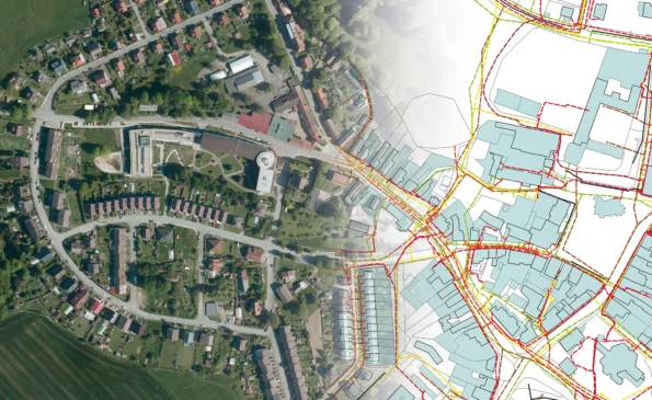
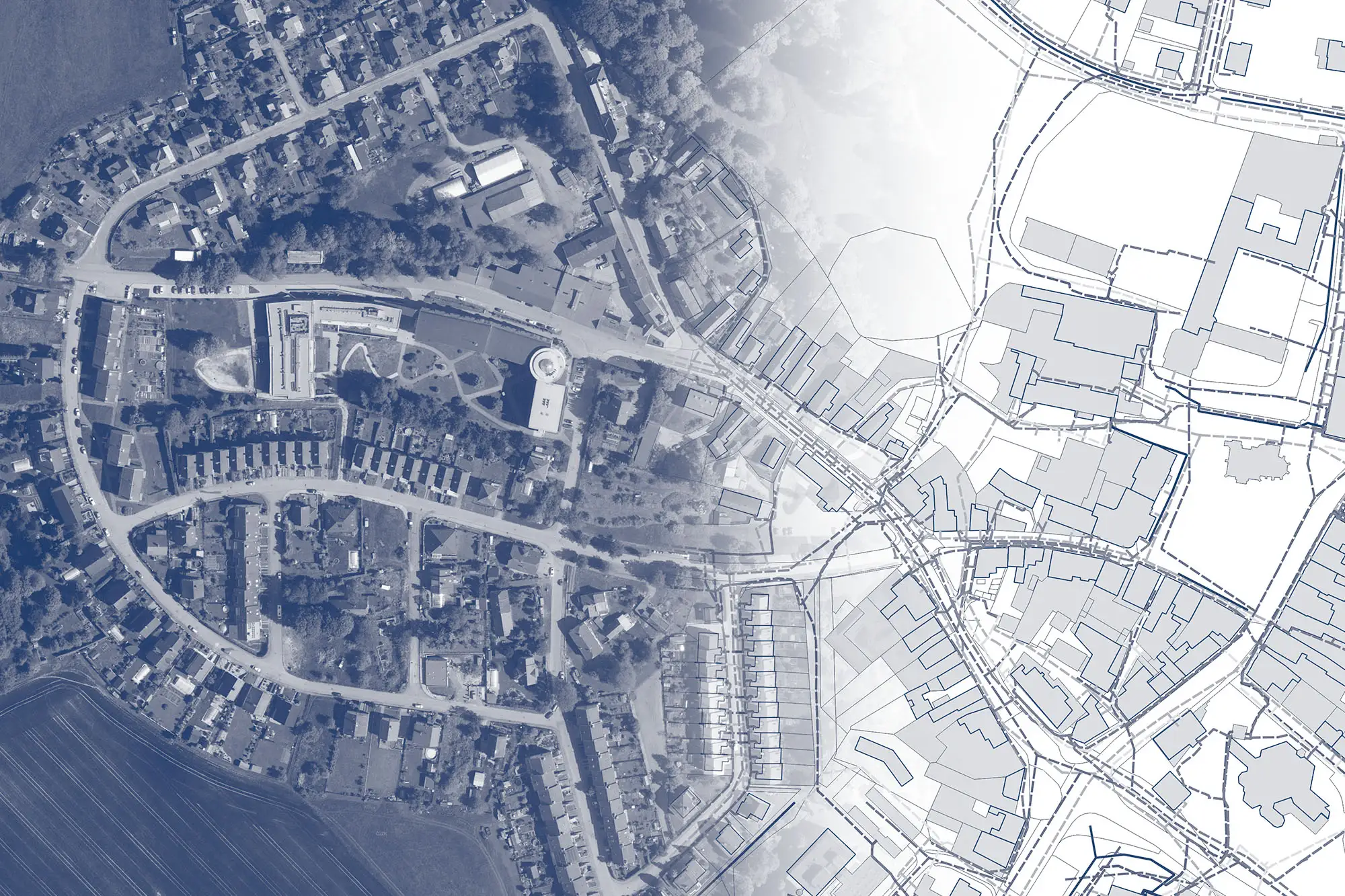
Digital Technical Map of the Czech Republic – The DTM CR project was launched on July 1, 2024. We can assist you with data preparation and converting documentation into a standardized format, uploading it to the regional DTM portal, and accurately surveying your utility networks.

Digital Engineering Maps and Their Importance for Modern Construction

DTM ČR streamlines construction processes, enhances planning accuracy, and improves access to infrastructure data.

Other services

RSTI

The Register of Technical Infrastructure Entities (RSTI) is a database that provides basic information on the territorial jurisdiction of entities related to technical infrastructure (owners, operators, administrators, or entities that provide input on technical infrastructure).

Go to the service

BIM3D

Preparation of surveying data for construction projects, creation of construction documentation and building records. Construction monitoring, surveying, and volume calculations. Geodetically accurate 3D models for BIM and property management, 3D visualizations, and presentations.

www.bim3d.cz

STAVEE

Construction Log – online, simple, fast, secure. Easily create construction records using a web app accessible on all devices. Ensure secure storage of records, photos, and documents from the construction site.


www.stavee.cz