


MawisGeoportal
Utilities
Utilities Module.
Key features:
Technical drawings and maps in accordance with applicable regulations and standards
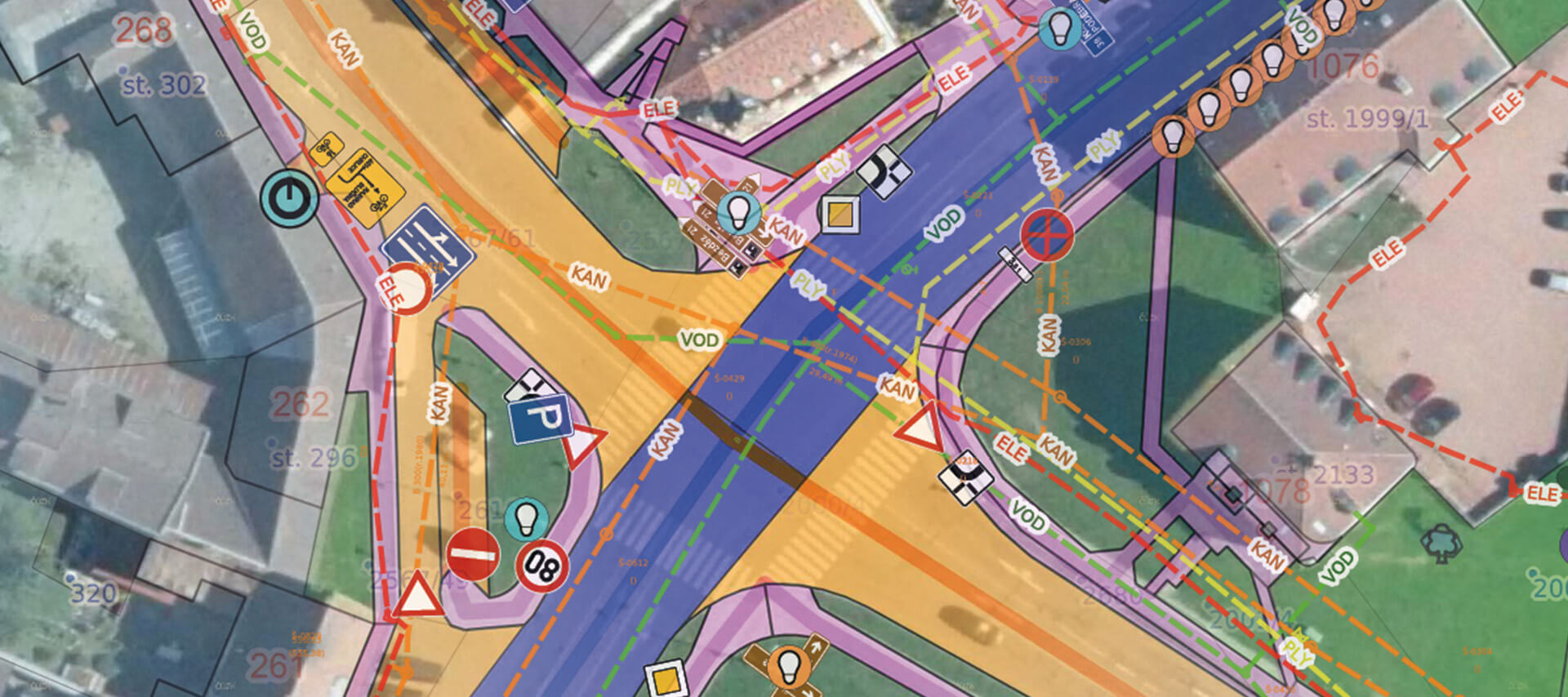
There are numerous regulations and standards governing technical drawings and maps, and navigating them can be quite challenging. Mawis supports the creation of technical drawings and maps in accordance with current regulations and standards. With Mawis, you can focus entirely on data management.
Any number of layers that you can edit
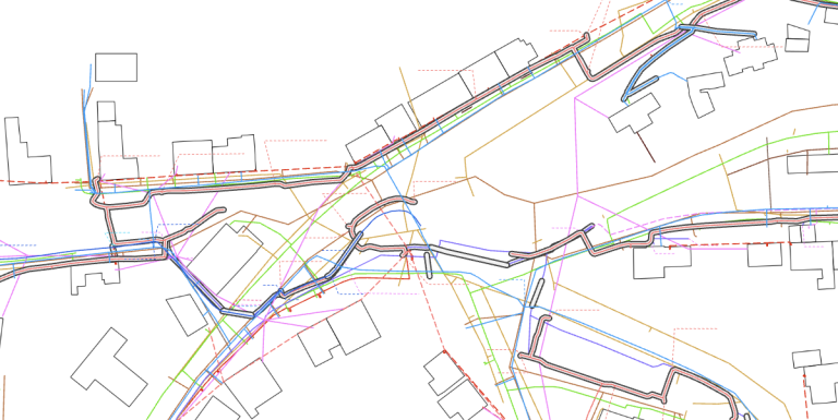
You can add more data to Mawis at any time. You can create as many layers as you like to make your data even easier to understand. Uploading data is simple, fast, and gives you full control. You can also add to or correct data, and the system records who made each correction. And for even greater control, you can easily define access rights.
Support for expressions regarding the existence and operation of networks
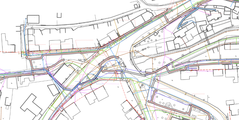
We will display all requests for confirmation of utility lines submitted by builders via MawisUtility in the map window, overlaid on your infrastructure. If a developer submitted a request for information on the existence of utility networks by other means, you can view its attachments in DGN or DWG formats in Geportal as a separate layer.
And lots of other great features
Are you ready for a better geoportal?
MAWIS can help you! Technical infrastructure managers use it every day. Join us and launch your first project with a better geoportal.
I can help you with MAWIS services

Ladislav Bláha
Technical Consultant for MAWIS Portal Services