


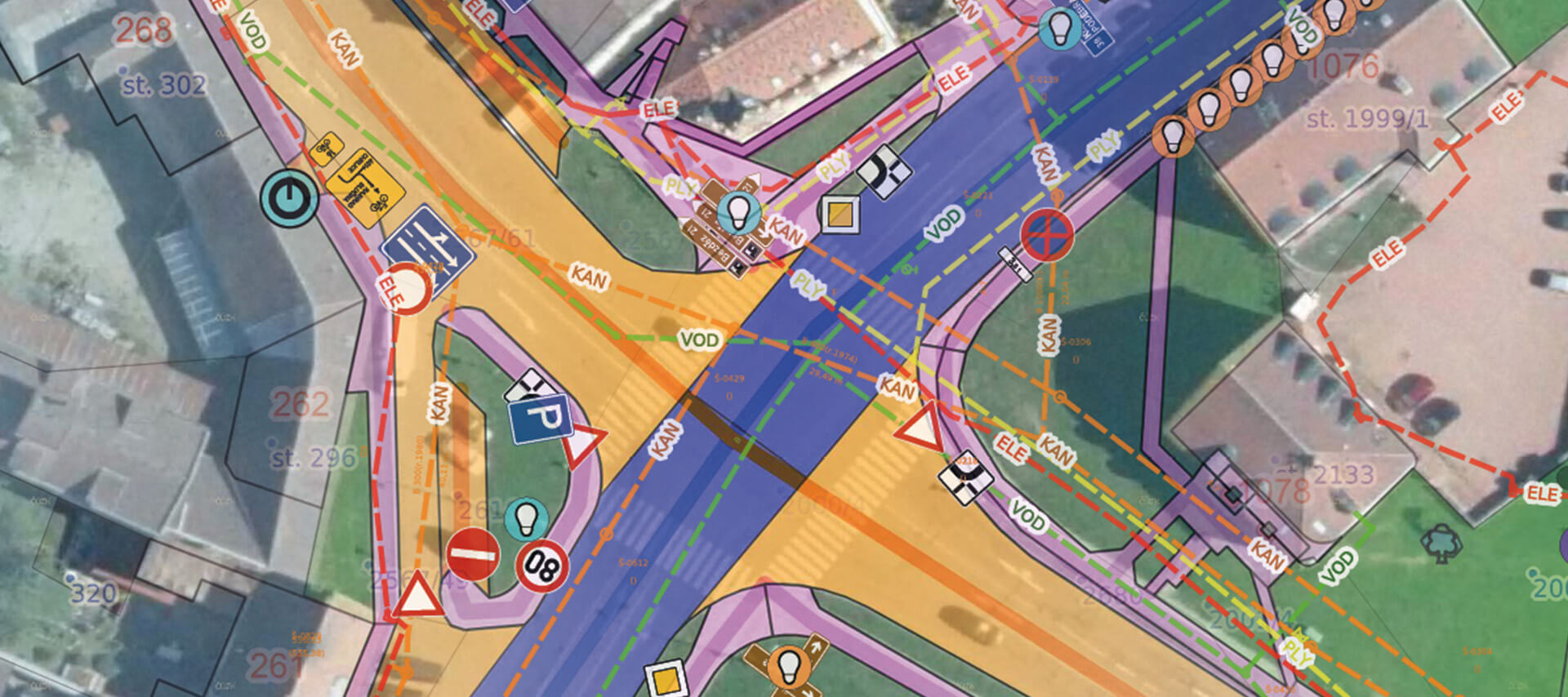
MawisGeoportal
Land Registry
Advanced tools for
working with the real estate cadastre:
Broad search of cadastral data
The Mawis Geoportal allows users to perform spatial searches on land registry data. The results are then displayed in a list and directly in the map window.
The spatial search also uses data from the Register of Territorial Identification, Addresses, and Real Estate (RÚIAN), making it possible to search for locations throughout the entire Czech Republic.
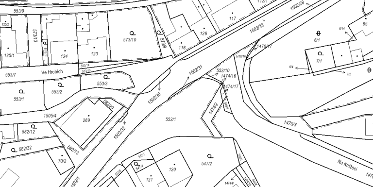
Direct integration with the Land Register
You can click on any plot or parcel in the land registry displayed on the Mawis Geoportal to view its details. A window will appear showing basic information, such as the cadastral area, parcel number, land type, area, etc.
To view ownership and other contractual information, including easements, you can go directly from the Mawis Geoportal details window to the details in the ČÚZK Land Registry Viewer application.
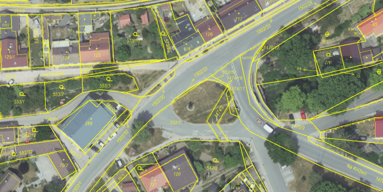
Support for importing cadastral data in VFK format
You can import descriptive and graphical data about properties (and their owners) into Mawis using files in the VFK cadastral format. This simplifies work with the cadastral map and speeds up access to details about parcels, owners, and other legal relationships.
The Mawis Geoportal always clearly displays the date as of which the cadastral data obtained from the VFK file is valid.
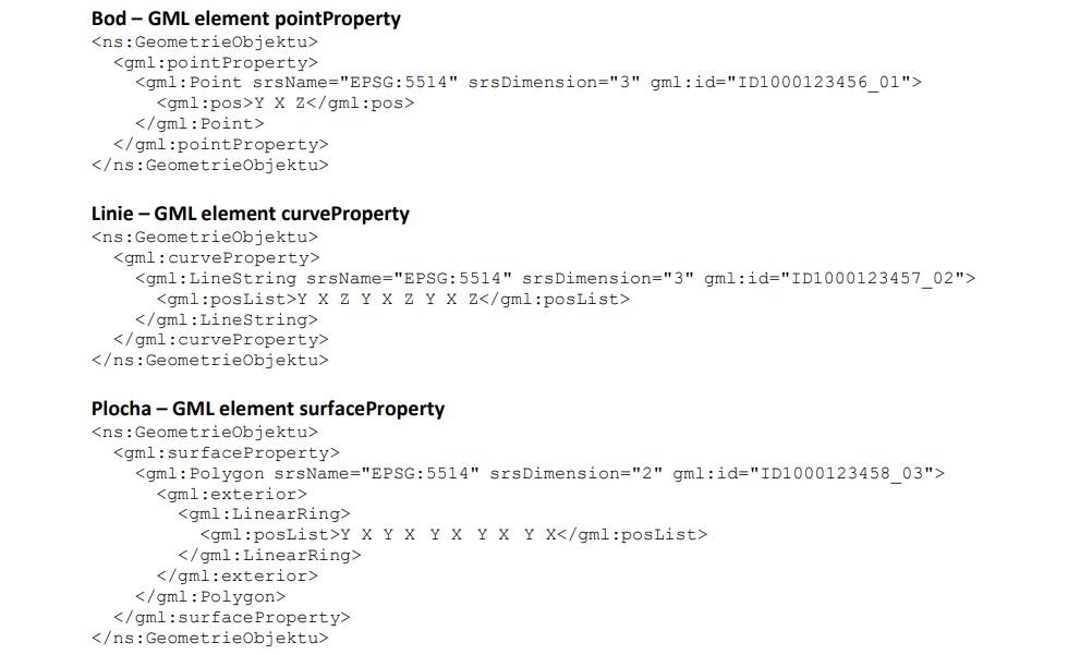
And lots of other great features
Are you ready for a better geoportal?
MAWIS can help you! Technical infrastructure managers use it every day. Join us and launch your first project with a better geoportal.
I can help you with MAWIS services

Ladislav Bláha
Technical Consultant for MAWIS Portal Services