


MawisTools
Locating the parcels in question
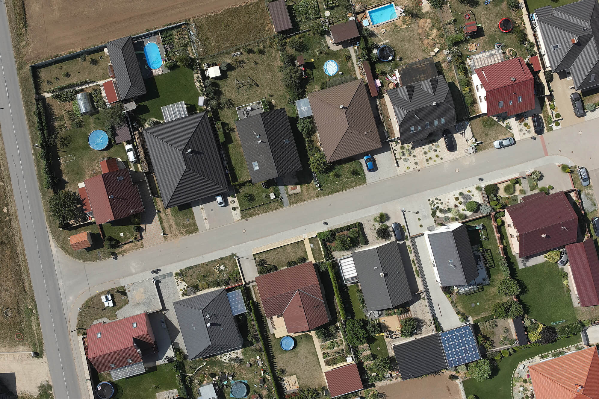
The tool projects DGN/DWG/SHP input data onto the real estate cadastre. It generates Excel files containing data on parcels, buildings, and units, including a link to the ČÚZK’s “View Cadastre” application for obtaining information on owners. At the same time, it creates DGN drawings of the affected and adjacent parcels with their geometries.
The Parcel Search tool is designed for designers and engineering professionals preparing utility network designs or land acquisition plans for linear infrastructure projects. It is useful during the engineering phase of construction projects, as well as for property rights settlements or the establishment of easements.
Land registry data from RÚIAN is updated daily. The tool generates a current report.
Input data – what they should look like
The tool processes the entire content of input data in the supported formats DGN V8, DWG, and SHP. Keep only those elements in your drawings for which you want to search the land registry for the relevant parcels and their neighbors. For DGN and DWG drawings, it ignores text and dimension elements.
The area of the input data must not exceed the 10 km² limit.

Output data – what exactly will I get?
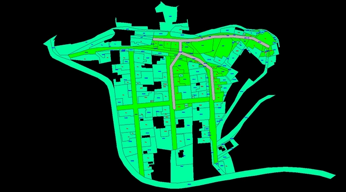
Drawings in DGN V8
- The affected and adjacent parcels, including their boundaries and parcel numbers;
- Envelope zone if the user has selected a size greater than 0. An extended area around the elements;
- Cadastral area containing the geometries of the relevant cadastral areas, including their names and numbers.
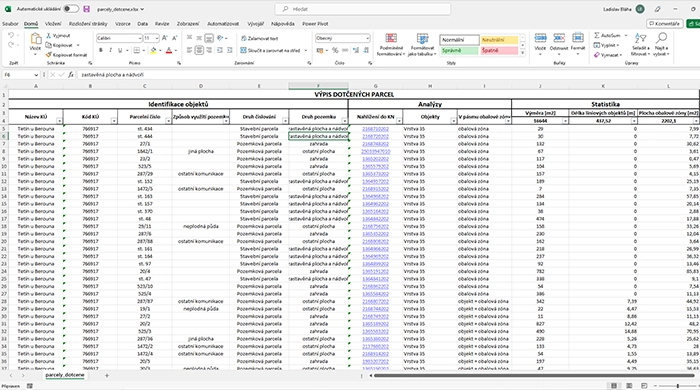
Tables in Excel
- The relevant parcels, including parcel identifiers, analyses of the parcels and their features, and statistical calculations;
- Adjacent parcels, including parcel identifiers, analyses of the parcels, and statistical calculations.
Report in Text
- Summary of the analysis, including information on the retrieved elements, the affected parcels, and the cadastral areas.
30-day trial
Fill out the form and we'll send you FREE 30-day access to the MawisTools library so you can try out the geomatics tools.