


MawisTools
Converting SHP to DGN
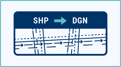
This tool allows you to convert data in ESRI SHP format into a DGN V8 file, which you can view in your favorite application.
This tool allows you to convert data in ESRI SHP format into a DGN V8 drawing. It supports organizing objects into layers, adding labels from attributes, and placing cells next to point objects—all without the need for manual editing.
How does it work?
- Upload a ZIP archive containing SHP data (including the necessary *.dbf, *.shx, etc.)
- You can optionally specify which attributes to apply to layers, labels, or cells
- Select a seed file and, if necessary, add a cell library
- Once the request has been processed, you will receive a DGN drawing and a report containing information about the conversion
What do you get?
- DGN drawing – converted drawing with correct layers, labels, and cells based on the input data
- Report.txt – summary of conversion statistics (number of objects, attributes used, warnings)
Full support for attribute-based export control:
- layers named according to the selected attribute
- labels consisting of one or more attributes
- cells to points based on the name in the attribute (e.g., to add symbols to a map)
30-day trial
Fill out the form and we'll send you FREE 30-day access to the MawisTools library so you can try out the geomatics tools.