


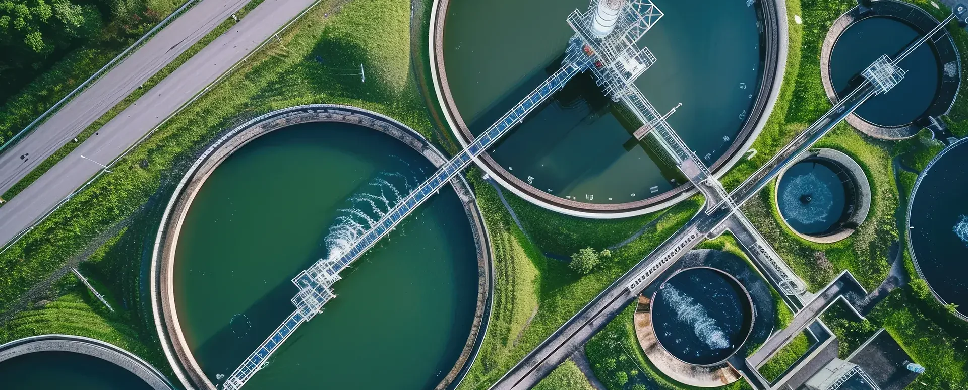
A digital technical map could also present an opportunity for water management
DTM offers the potential to digitize data on technical and transportation infrastructure in the Czech Republic.
The Digital Technical Map of the Czech Republic (DTM) is not just another project. It is a monumental step forward in the field of data digitization and offers enormous potential for all areas of infrastructure, including water management. With nationwide coverage and 3D data, the DTM is becoming the most significant project of its kind in history.
The development of the DTM began in the private sector in collaboration with surveying firms, and a basic dataset was prepared in just 1.5 years—a tremendous success compared to the twenty-year process of creating the cadastral map. However, as is often the case, the DTM was rushed, which raises a number of questions and concerns.
These include questions regarding the purpose of the DTM, future maintenance, potential inaccuracies, and the burden on all parties involved. However, all these concerns are offset by the enormous benefits that DTM brings—the availability and comprehensibility of infrastructure data for the general public.
DTM makes utility network data accessible in a new and efficient way, which can radically simplify and accelerate construction processes and land-use planning. A unified data format and 3D information are revolutionizing a field that has until now relied on a variety of formats.
The DTM is expected to improve water management operations. Data on the location and characteristics of utility networks, including sewer and water systems, will be readily available in a standardized format. This will enable better maintenance planning, faster problem identification, and more effective solutions.
The DTM ČR project is not only about modernizing infrastructure, but also about transforming processes and access to data. A unified and accessible database has the potential to change the way we build and maintain our infrastructure in the future.
HRDLIČKA spol. s r.o., which operates the mawis.eu portal, is actively working on implementing DTM and offers solutions that enable users to work effectively with their data. The MawisGeoportal cloud-based mapping application enables simple and efficient visualization, publication, management, and sharing of geodata and related documents for a wide range of users.
The geoportal is a versatile tool not only for the Czech Republic’s Digital Terrain Model (DTM) but also for working with:
- The entity’s utility networks—the owner’s transportation and technical infrastructure, including the ability to provide input on the networks,
- Asset inventories – all your inventory data in one place, where you can easily attach documents, contracts, and photos,
- Land Registry – offers advanced features and search capabilities for land registry data,
- Specialized base maps—all objects in your network can be displayed alongside additional information such as aerial imagery (orthophotos), flood maps, 3D terrain models, and much more.
DTM ČR is not only the project of the century in the field of geodata, but also a tremendous opportunity to modernize our construction and infrastructure sectors, including water management. For more information, visit our website: www.dtmcr.cz.
We are ready to assist you with all matters related to DTM ČR.
For assistance with converting your documentation to JVF DTM and using the DTM Editor, please contact us via our website:

More similar articles

Handover without complications—we’ll handle the data entry into the Czech Republic’s Digital Terrain Model (DTM) for you
Are you finalizing the building inspection? We'll take care of entering the data into the DTM ČR and issuing the PGAD and EDTI identifiers for you.
How do I obtain a record identifier in the Digital Technical Map?
It is now mandatory to provide the Digital Technical Map record identifier when applying for a building occupancy permit. We can help you with this.
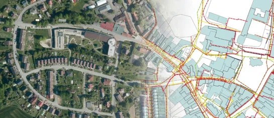
Digital Technical Map and MAWIS Services – Potential for Construction, Management, and Maintenance
MAWIS's digital services, in conjunction with the Digital Technical Map, support the construction process in the Czech Republic.


