


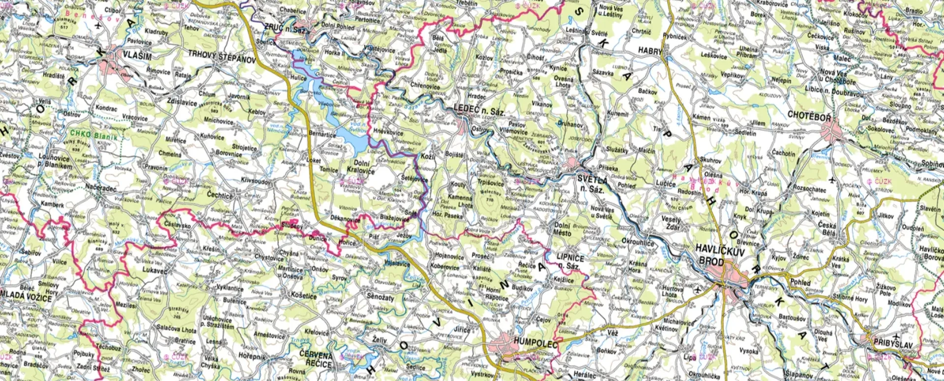
For now, printed maps do not belong in the recycling bin
Do you need to include a map with your project documentation? With the Map Export module in Geoportal, you can do it in a snap.
Geoportal and printing from the map window
Car navigation systems killed road maps; cell phones killed car navigation systems.
I’m not going to claim that I walk around Prague every day with a map in my hand, or that surveyors run around the field with printed maps.
But “printed” maps aren’t going away just yet.
It’s true that you rarely come across a real printed map these days. That’s why I put it in quotes.
Printed maps—that is, map sections in the form of a sheet of paper—are still needed in projects.
For example, when you need to include a map with your project documentation.
For this purpose, the geoportal includes a Map Export module that allows you to:
1. Choose the right size and scale for the map:
- Paper size (A3, A4, A5) and orientation (portrait/landscape)
- Adjust the zoom level according to the level of detail you need
2. A box or a full page? Decide based on the map’s purpose:
- For printing: a box with additional information around it
- To save quickly: full-page view without a border
3. Add important information to the map:
- On the left, you can enter the title, attachment number, author, etc.
- The copyright notice with the current year will be added automatically.
4. Download the map or share it via a link:
- Finally, select the file format (PDF/PNG) and name the file
- Save the map to a file or share it via a link
- Anyone with internet access can then download the map
To see just how easy it will be in Mawis, check out our Help section for printed maps, which you can find at this address.
30-day free trial of the geoportal

More similar articles
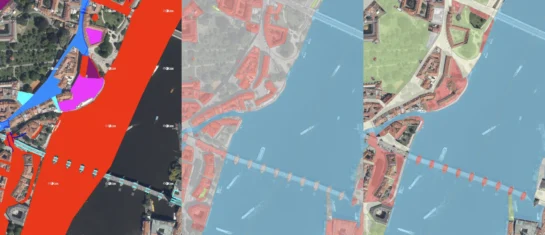
New KN Thematic Maps – Easements, Land Categories, and Land Use
Three new thematic map layers from the Cadastral Register (KN) are now available on the Geoportal: easements, land categories, and land use.

Map application to support the construction of linear infrastructure
A mapping platform that consolidates design, construction, and inspection data throughout linear construction projects.

MawisPasport – Effective Management and Maintenance of Green Spaces
Get an overview of green spaces and green infrastructure elements. A green space inventory is an important tool for the effective management of public spaces and maintenance planning.


