


Another round of calls for data submissions to the DTM regions has taken place
The DTM ČR project launches on July 1, 2024. We will help you fulfill all your obligations to the Czech Office for Surveying, Mapping and Cadastre (ČÚZK).
Call from the Czech Office for Surveying, Mapping, and Cadastre (ČÚZK) to Upload Documentation to the Digital Technical Maps of the Regions
Last week, the Czech Office for Surveying, Mapping and Cadastre (hereinafter “ČÚZK”) sent another request via data boxes to owners, administrators, and operators of technical and transportation infrastructure to upload their documentation to the Digital Technical Maps of Regions (hereinafter referred to as DTM of the Regions).
What does the Czech Office for Surveying, Mapping and Cadastre require of you?
If you own technical infrastructure (utility networks, pipes, wires, etc.) that runs through public spaces, you are required to have it surveyed and upload the documentation to the Regional Digital Map (DTM). This process takes place via a portal operated by the Czech Office for Surveying, Mapping and Cadastre (ČÚZK), which serves as a central repository for regional digital maps.
The same applies to owners of transportation infrastructure, such as local and special-purpose roads.
A precise definition of what constitutes transportation and technical infrastructure is set forth in Decree No. 393/2020 Coll. on the Digital Technical Map of the Region.
Documentation Requirements
The documentation must be prepared in the new, standardized JVF DTM exchange format. Drawings in DGN and DXF formats, as well as their PDF images, must be converted to the new format.
How can we help you?
We’d be happy to assist you with preparing and transferring documentation, uploading it to the portal, and accurately surveying your utility networks.
Contact us and we will:
- We’ll walk you through the entire process
- We will prepare the necessary data and documents
- We will upload the documentation to the portal
- We will continue to help keep the documentation in DTM up to date
By working with us, you can ensure that all your obligations to the Czech Office for Surveying, Mapping and Cadastre (ČÚZK) are fulfilled quickly and without complications.

More similar articles
Handover without complications—we’ll handle the data entry into the Czech Republic’s Digital Terrain Model (DTM) for you
Are you finalizing the building inspection? We'll take care of entering the data into the DTM ČR and issuing the PGAD and EDTI identifiers for you.
How do I obtain a record identifier in the Digital Technical Map?
It is now mandatory to provide the Digital Technical Map record identifier when applying for a building occupancy permit. We can help you with this.
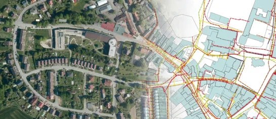
Digital Technical Map and MAWIS Services – Potential for Construction, Management, and Maintenance
MAWIS's digital services, in conjunction with the Digital Technical Map, support the construction process in the Czech Republic.


