



For 15 years, the MawisUtility bulk submission system has been fulfilling the goal of digitizing the building permit process
DTM and DSŘ can help, but they can't replace your own words.
Dear Customers, we would like to inform you of the changes resulting from new legislation regarding the digitization of building permit procedures (hereinafter referred to as “DSŘ”) and the creation of a new national map series, the Digital Technical Map (hereinafter referred to as “DTM”).
First and foremost, we would like to thank you for your trust and for using the “MawisUtility” bulk submission service (formerly “UtilityReport”), and we are confident that this service will continue to assist you in obtaining statements in the future. The service will continue to operate, and the launch of DTM will only improve its quality.
We are continuously monitoring the development of the DSR and its tools, and we consider the following to be the most important current facts:
- On the ČÚZK website, you can access a list of owners, operators, and administrators (“VSP”) of technical infrastructure as a non-legally binding overview, based on data from the VSP registry, which is gradually being populated; while its informative value is improving, it does not yet reflect the actual situation.
- It is not possible to submit a bulk electronic request for a statement regarding the existence of technical infrastructure—as you are accustomed to doing on MawisUtility—on the Builder’s Portal, and this functionality is not currently planned.
- Through the DSŘ system, it is possible to submit an electronic application for a zoning decision or a building permit and to upload the received opinions to the file for the relevant investment project.
The new Building Act No. 283/2021 Coll. (hereinafter referred to as the “NBA”) does not alter the principle that the developer is responsible for providing the necessary opinions from the parties to the proceedings, the relevant government agencies, and the owners of technical infrastructure.
It will remain common practice to submit applications using the current method. The importance of our MawisUtility central submission portal will increase even further starting July 1, 2024, due to the preference for submitting applications using the current method.
The DTM will contain only data on technical infrastructure that the obligated entity enters into the system, and it will not be possible to make decisions regarding the location and existence of technical infrastructure based on the DTM data in the technical infrastructure section without contacting the relevant owners of the technical infrastructure.
DTM and DSŘ can help, but they can’t replace your own words.

More similar articles
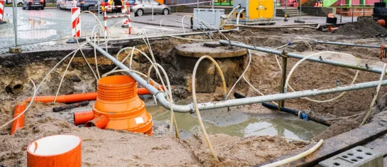
MawisUtility – 17 Years of Digital Support for Construction Management
For more than 17 years, a digital tool has been available that makes it significantly easier for builders and designers to submit requests for information regarding the location of utility lines.

MAWIS Service Integration – Complete Overview of Requests
In the MawisGeoportal environment, you can track the status of all requests submitted by an applicant in the MawisUtility application (this information is transferred automatically).
MawisUtility – DTM integration and other new features in the app
Key features of MawisUtility – integration with the Digital Technical Map – overview of submitted requests and responses in MawisGeoportal.


