

MAWIS Service Integration – Complete Overview of Requests
In the MawisGeoportal environment, you can track the status of all requests submitted by an applicant in the MawisUtility application (this information is transferred automatically).
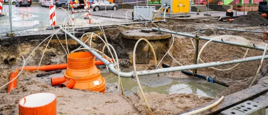
Although the government has been operating the Digital Technical Map (DTM) since July 1, 2024, in practice it still does not contain complete information on all technical infrastructure managers and owners, and certainly not all utility networks are recorded there. Therefore, when reviewing construction plans, it remains necessary to consult multiple sources of information. Moreover, viewing the networks in the DTM does not replace a binding statement from the technical infrastructure owner.
1. We have linked the RSTI data with the new DTM.
- Register of Technical Infrastructure Administrators (RSTI) – a proprietary database that is continuously updated by TI owners or their administrators,
- Digital Technical Map (DTM) – a government project in which not all data is currently available, but is being added gradually.
As a result, MawisUtility provides the most comprehensive overview of the relevant networks in the target area and, most importantly, allows for automated outreach. Where high-quality DTM data is available, it uses that. Where data is missing, it supplements it using RSTI.
MawisUtility thus enables applicants, designers, and technical infrastructure managers to significantly reduce the time and costs associated with reviewing construction plans and obtaining building permits.
2. We are adding a feature to keep a clear record of received comments.
We will automatically transfer a list of all submissions from the MawisUtility app to the MawisGeoportal map portal – Applicant’s Requests. There, you can track the status of all applications submitted by the applicant and add documents containing individual statements to them.
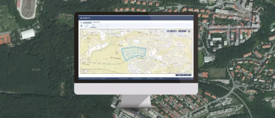
MawisGeoportal – Applicant's Requests:
- an overview of all requests for comments submitted via MawisUtility,
- tracking the status of requests (response received / request sent, etc.),
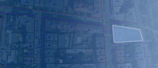
- graphical display of requests on a map (polygon of the area of interest),
- the ability to save comments received on specific requests.
Applications can be viewed overlaid on several base maps: orthophotos, the base map, the cadastral map, and the Digital Technical Map (DTM).
The app also includes a viewer for drawings in a variety of geospatial formats (DGN, DWG, SHP, JVF, DTM, and others).
MawisGeoportal – Applicant's Requests.
In this short video, you’ll learn more about MawisGeoportal – Applicant Requests.
👉 https://www.youtube.com/watch?v=J9pmT0qIw8I
If you are interested in this service and would like to learn more about implementing it in your organization, please feel free to contact me.
Ladislav Bláha | +420 724 863 431 | ladislav.blaha@hrdlicka.cz

MawisUtility – 17 Years of Digital Support for Construction Management
For more than 17 years, a digital tool has been available that makes it significantly easier for builders and designers to submit requests for information regarding the location of utility lines.
MawisUtility – DTM integration and other new features in the app
Key features of MawisUtility – integration with the Digital Technical Map – overview of submitted requests and responses in MawisGeoportal.
MawisUtility – 15 Years of Digital Support for Construction Management
MawisUtility was established in 2009 as a centralized platform for submitting requests for statements regarding the existence of utility networks throughout the Czech Republic.


