
MawisUtility – 15 Years of Digital Support for Construction Management
MawisUtility was established in 2009 as a centralized platform for submitting requests for statements regarding the existence of utility networks throughout the Czech Republic.
📖 Article in System Online: MawisUtility: 15 Years of Digital Support for Construction Management.
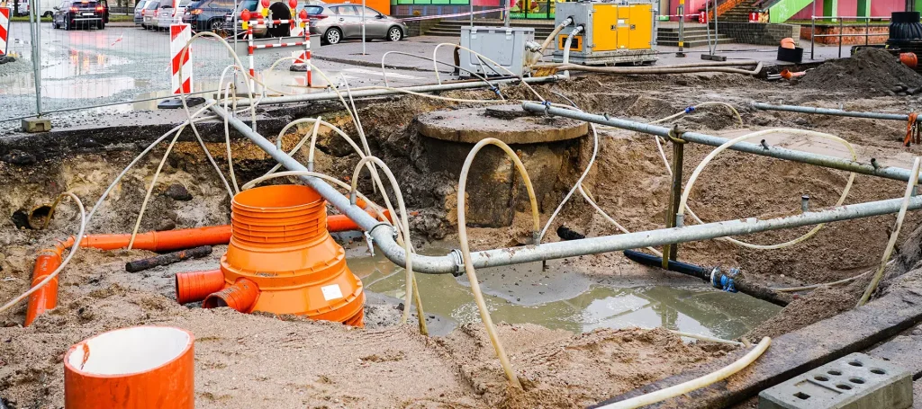
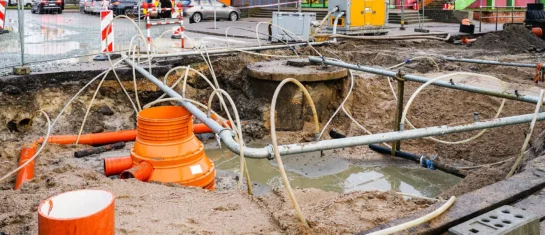
Obtaining a building permit in the Czech Republic involves a series of steps, including obtaining statements from the administrators of transportation and technical infrastructure regarding the presence of their networks in the area of the planned construction. This process is often complex, time-consuming, and administratively burdensome for builders. However, for more than 15 years now, there has been a digital tool that significantly simplifies this step—MawisUtility.
From the First Steps Toward the Digitalization of the Construction Industry
The service was launched in 2009 as a central electronic portal for submitting requests for statements regarding the existence of utility networks. The goal was simple: instead of contacting dozens of network operators and sending individual requests, the service aimed to provide developers with a single electronic interface. Gradually, thousands of technical infrastructure operators were successfully integrated into the system, and the service became a standard part of project practice.
MawisUtility was ahead of its time: it digitized a process that has only been discussed at the national level in recent years in connection with the new building code.
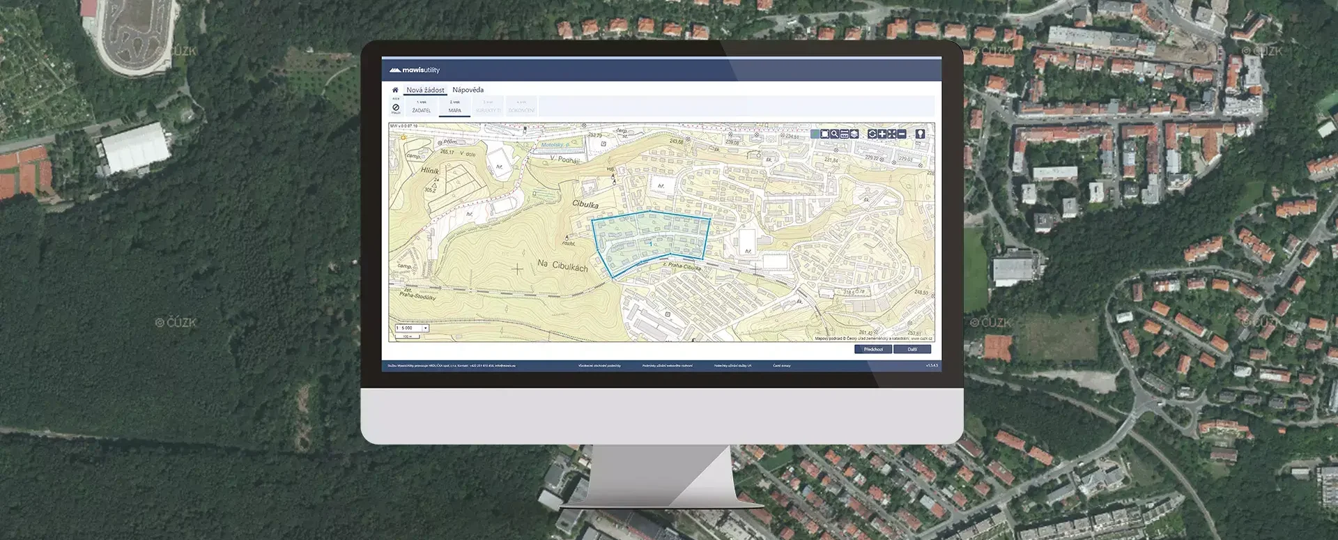
How the service works
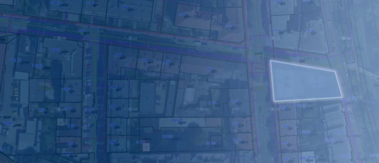
The process is simple. The designer or builder defines the construction site, the system identifies the relevant utility providers, and sends them a request electronically. The responses are returned to a single user interface, from which they can be easily downloaded and attached to the construction documentation.
This approach eliminates duplication, reduces errors, and saves time not only for builders but also for network administrators themselves.
Benefits for both builders and property managers
- Time and cost savings – there is no need to search for property managers individually and contact them one by one.
- Guarantee of completeness – the system uses an up-to-date database of administrators, so no institution is left out.
- Transparent communication – all responses are saved and can be easily retrieved.
- A streamlined workflow for administrators – the electronic submission system replaces hundreds of paper or email requests.
MawisUtility: By the Numbers and in Practice
Since its launch, hundreds of thousands of applications have been submitted through MawisUtility, and the service has become the standard used by designers, construction companies, and regional authorities. Some regions have even made the submission portal directly accessible to citizens on their websites.
The Present and the Future
The importance of this service is even more evident at a time when the digitization of construction management processes is facing delays and organizational challenges. MawisUtility, on the other hand, offers a stable and proven solution that has been operating continuously for more than 15 years and responds to the current needs of the construction industry.
Future development is focused on integration with other data sources, such as orthophotos, flood zones, and digital terrain models (DTMs). The goal is to provide designers with not only statements from administrators but also key geoinformation resources for their work, all in one place.
Conclusion
While government digitization projects are still finding their footing, MawisUtility has been helping builders every day for fifteen years. It proves that a well-designed digital tool can remove administrative barriers and streamline communication between builders and utility providers. As a result, it will remain a reliable partner for obtaining building permits in the years to come.
Purchase a one-time license
Submit a bulk request for a statement regarding the existence of networks.
Contact Information
Would you like to know more? Please don't hesitate to contact us.
Ladislav Bláha +420 724 863 431 | ladislav.blaha@hrdlicka.cz
Tomáš Krejčí +420 724 102 037 | tomas.krejci@hrdlicka.cz

More similar articles
MawisUtility – 17 Years of Digital Support for Construction Management
For more than 17 years, a digital tool has been available that makes it significantly easier for builders and designers to submit requests for information regarding the location of utility lines.

MAWIS Service Integration – Complete Overview of Requests
In the MawisGeoportal environment, you can track the status of all requests submitted by an applicant in the MawisUtility application (this information is transferred automatically).
MawisUtility – DTM integration and other new features in the app
Key features of MawisUtility – integration with the Digital Technical Map – overview of submitted requests and responses in MawisGeoportal.


