



List of Transportation and Technical Infrastructure Administrators
Will the Register of Technical Infrastructure Entities or the Digital Technical Map of the Czech Republic ever be 100% complete?
The source of data on technical infrastructure operators for the Mawis Utility system is the Register of Technical Infrastructure Entities (RSTI).
Maintaining it faces two main challenges:
- Areas of Interest: Entities define their own areas of interest, often too broadly, which leads to a large number of unnecessary requests. Registry operators are trying to persuade entities to narrow down these areas to the actual locations of infrastructure and their buffer zones.
- “Review scammers”: Some companies use the platform to charge fees for negative reviews, which is legal but unethical. Platform operators must identify and ban such entities.
The new Building Act, effective July 1, 2024, introduces a change that should help in the fight against “fraudulent developers.”
Pursuant to Section 168(b) of Act No. 283/2021 Coll., owners of technical infrastructure must provide their opinions free of charge.
Section 168(b): “The owner of technical infrastructure is required to provide, free of charge and upon request, information regarding connection conditions, protective and safety zones, and the basic conditions for conducting activities within them, unless the technical infrastructure in question is under the jurisdiction of the Ministry of Defense or the Ministry of the Interior.”
The text of Section 168(b) of Act No. 283/2021Let’s hope this amendment will help resolve the current issues and that the new systems—the Digital Map of Public Administration (IS DMVS) and the Builder’s Portal—will serve builders well.
The main thing is that they speed up the building permit process.

More similar articles
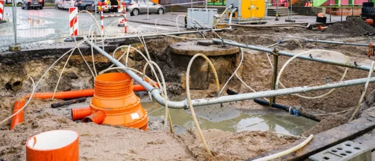
MawisUtility – 17 Years of Digital Support for Construction Management
For more than 17 years, a digital tool has been available that makes it significantly easier for builders and designers to submit requests for information regarding the location of utility lines.

MAWIS Service Integration – Complete Overview of Requests
In the MawisGeoportal environment, you can track the status of all requests submitted by an applicant in the MawisUtility application (this information is transferred automatically).
MawisUtility – DTM integration and other new features in the app
Key features of MawisUtility – integration with the Digital Technical Map – overview of submitted requests and responses in MawisGeoportal.


