


Articles
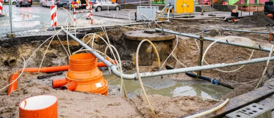
MawisUtility – 17 Years of Digital Support for Construction Management
For more than 17 years, a digital tool has been available that makes it significantly easier for builders and designers to submit requests for information regarding the location of utility lines.

MAWIS Service Integration – Complete Overview of Requests
In the MawisGeoportal environment, you can track the status of all requests submitted by an applicant in the MawisUtility application (this information is transferred automatically).
MawisUtility – DTM integration and other new features in the app
Key features of MawisUtility – integration with the Digital Technical Map – overview of submitted requests and responses in MawisGeoportal.
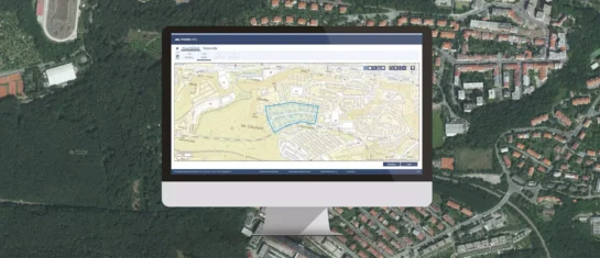
MawisUtility – 15 Years of Digital Support for Construction Management
MawisUtility was established in 2009 as a centralized platform for submitting requests for statements regarding the existence of utility networks throughout the Czech Republic.
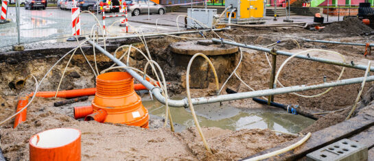
MawisUtility – A digital solution for bulk submission of requests for statements regarding the existence of utility networks
The app can identify all network operators in a given area at once and request their input on the proposed construction project simultaneously.
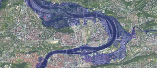
Orthophotos and floodplains – supporting documentation for statements regarding the existence of utility networks
Flood maps and orthophoto maps provide clear visual information, not only for assessing the existence of infrastructure networks, but also for construction and design work.

Discontinuation of free access to MawisUtility in the Olomouc Region
After eight years, the Olomouc Region has discontinued its support for free access to the MawisUtility system.

The Crisis at the Ministry of Regional Development and What It Means for the Process of Commenting on the Existence of Networks
The Crisis in the Digitization of Construction Management: MawisUtility Continues to Provide a Key Service for Builders.

For 15 years, the MawisUtility bulk submission system has been fulfilling the goal of digitizing the building permit process
DTM and DSŘ can help, but they can't replace your own words.
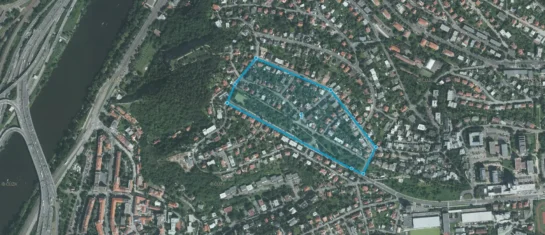
One-time submission of a request for a statement regarding the existence of networks
The new special license allows users to submit one request for a statement in the MawisUtility application.
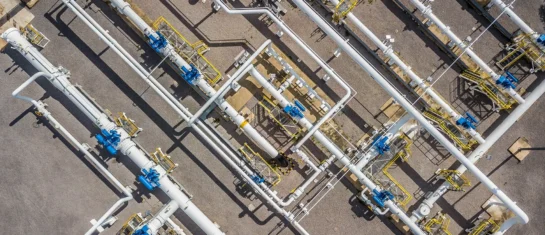
List of Transportation and Technical Infrastructure Administrators
Will the Register of Technical Infrastructure Entities or the Digital Technical Map of the Czech Republic ever be 100% complete?

The MawisUtility Interface and Service
We have been operating the MawisUtility service for over ten years. To keep pace with the digital age, we are constantly striving to develop and improve all of our services.


