


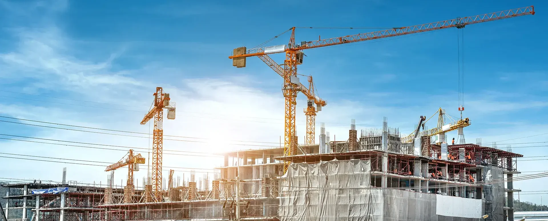
The Crisis at the Ministry of Regional Development and What It Means for the Process of Commenting on the Existence of Networks
The Crisis in the Digitization of Construction Management: MawisUtility Continues to Provide a Key Service for Builders.
The builder’s portal was intended to include a system for tracking requests for information on the location of utility lines. The portal was launched by Minister Ivan Bartoš in a stripped-down, minimalist version that lacked the functionality to support such requests.
Even after the launch of the Builder’s Portal on July 1, our MawisUtility system remained the only tool supporting this important aspect of construction planning and building permit procedures.
Current developments at the Ministry of Regional Development (MMR) make it almost certain that MawisUtility will be with us for several more years.
Jan Floriánek, Ing., CEO of Hrdlička, says the following in his post on LinkedIn:
“Our company has long been receiving indications—which have gradually been confirmed behind the scenes—that the Builder’s Portal is in very poor condition and that its repair is not yet nearing completion. It is therefore great news that this is no longer an open secret but a public fact, and that the government will begin to address the entire matter urgently.”
The good news is that we have prudently continued to maintain and operate our MawisUtility solution, which provides support throughout the Czech Republic for mass outreach and the creation of requests for statements regarding the existence of networks from all network operators in a given area. Our solution is therefore still one of the few components of the building permit process that is fully digital and has been operating reliably for more than ten years.
In addition to professionals, residents of most regions that have ordered this solution from our company as a service for their citizens can also use it for free. For several years now, we have been offering MawisUtility not only to regions but also to the Ministry of Regional Development, and our offer still stands, so we’ll see if anything changes now and if the government will take advantage of something that has been widely used by builders for many years and generates 400,000 applications annually.

More similar articles
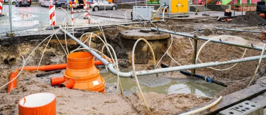
MawisUtility – 17 Years of Digital Support for Construction Management
For more than 17 years, a digital tool has been available that makes it significantly easier for builders and designers to submit requests for information regarding the location of utility lines.

MAWIS Service Integration – Complete Overview of Requests
In the MawisGeoportal environment, you can track the status of all requests submitted by an applicant in the MawisUtility application (this information is transferred automatically).
MawisUtility – DTM integration and other new features in the app
Key features of MawisUtility – integration with the Digital Technical Map – overview of submitted requests and responses in MawisGeoportal.


