


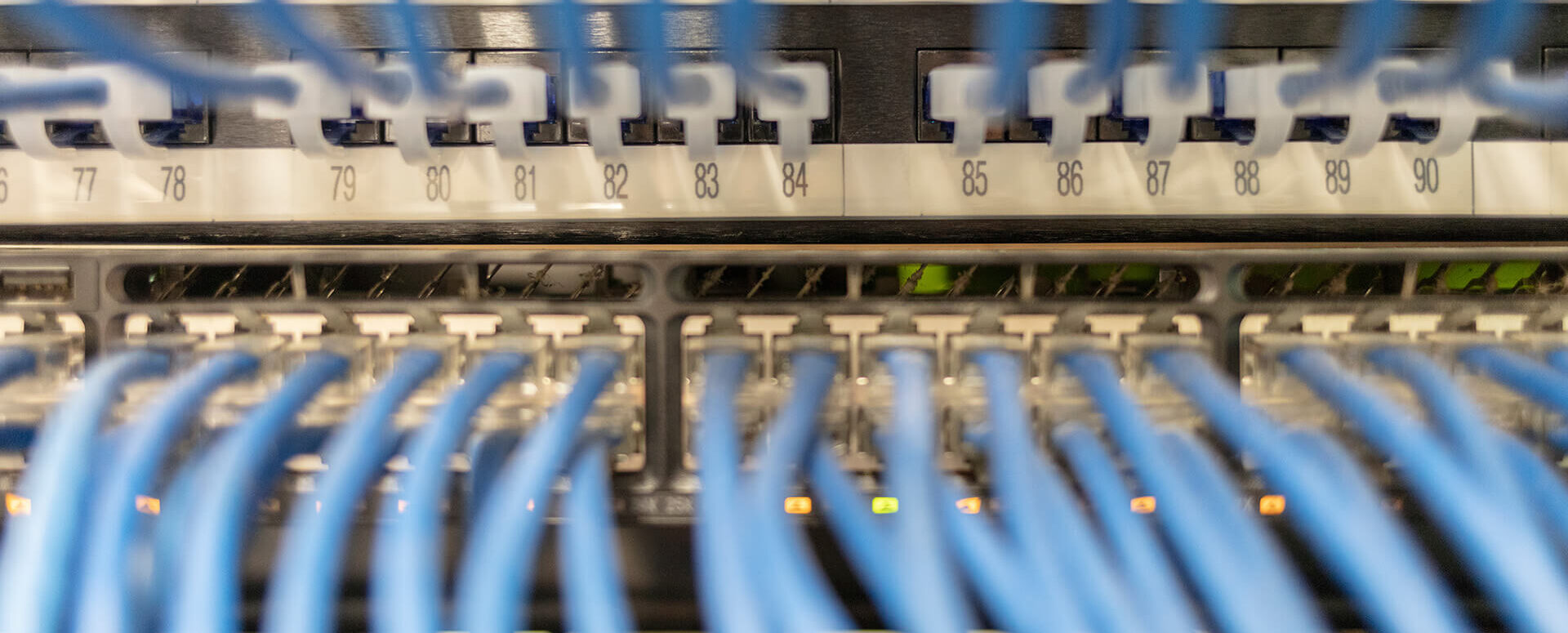
The MawisUtility Interface and Service
We have been operating the MawisUtility service for over ten years. To keep pace with the digital age, we are constantly striving to develop and improve all of our services.
We have been operating the MawisPhoto service for over ten years. To keep pace with the digital age, we are constantly striving to develop and improve all of our services. One of the key pillars of the UR application is undoubtedly the creation of interfaces with technical infrastructure administrators. We have been developing this feature since the very beginning, as it is an integral part of the document management system.
The most significant service providers with whom we have long-term partnerships are CETIN a.s., T-Mobile Czech Republic a.s., Vodafone Czech Republic a.s., České Radiokomunikace a.s., ČEPS, a.s., EG.D a.s., MERO s.r.o., Správa železnic, a state organization, NET4GAS, s.r.o., and many others. The list of entities is constantly growing, and both small and large owners of all types of infrastructure—including regions, cities, and municipalities—are interested in connecting to the UR service.
The growing number of entities using the interface compels us to continue developing it. In 2020, we launched a new and improved interface that is more user-friendly, faster, and, above all, more secure.
Countless applicants use our MawisPhoto app every day, and the platform helps hundreds of people daily—both those requesting statements regarding the existence of networks and the entities providing those statements. These entities then have a clear overview of the requests in their system, with settings tailored to their needs and requirements.
So, whether you manage any type of technical infrastructure, you too can use the interface with our help desk to streamline the entire process of receiving and processing requests. We can demonstrate the associated benefits—such as automation, customizable settings, and overall speed and efficiency—upon request. Our entire map server department is dedicated to this issue, and we listen to your wishes and requirements on an individual basis, so the integration can be tailored to your specific needs.
You can contact our MAWIS Customer Service Center.
Email: info@mawis.eu, Phone: 251 618 458

More similar articles
MawisUtility – 17 Years of Digital Support for Construction Management
For more than 17 years, a digital tool has been available that makes it significantly easier for builders and designers to submit requests for information regarding the location of utility lines.

MAWIS Service Integration – Complete Overview of Requests
In the MawisGeoportal environment, you can track the status of all requests submitted by an applicant in the MawisUtility application (this information is transferred automatically).
MawisUtility – DTM integration and other new features in the app
Key features of MawisUtility – integration with the Digital Technical Map – overview of submitted requests and responses in MawisGeoportal.


