


Articles
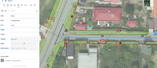
Task Manager for Effective Task Management on the Geoportal Map
The Task List module allows you to enter tasks on a map with their exact locations to coordinate fieldwork
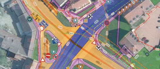
MawisGeoportal – a modern web-based GIS for your business
Mawis Geoportal offers an innovative web-based solution that simplifies working with GIS data without the need for complex installations.
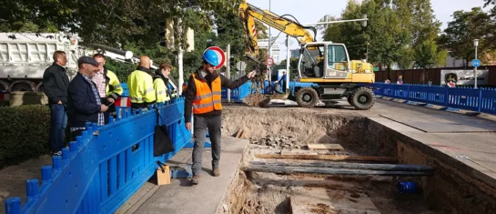
What is a DTM network, and who is it for?
A cloud-based application designed for builders, architects, real estate professionals, and developers.
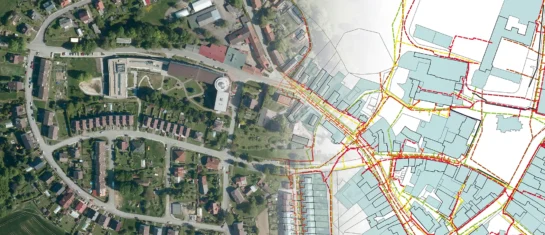
New MawisGeoportal App – DTM Networks Across the Czech Republic
Discover a comprehensive overview of the Czech Republic’s utility networks in a single app. A digital technical map is now at your fingertips.
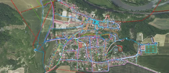
The Geoportal is a digital assistant for every municipality
MawisGeoportal is a modern web application that serves as a digital assistant for the efficient management of your municipality's assets.
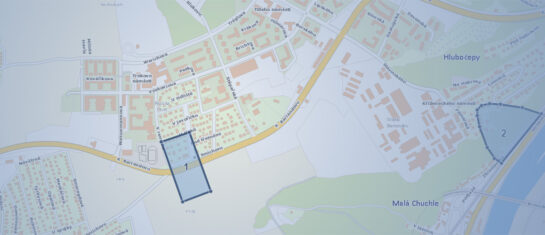
Simplify your queries regarding the existence of networks in the Mawis Geoportal
We are introducing the new "Support for Comments" module in the Mawis Geoportal, which will make it easier for network administrators to submit comments on construction projects.
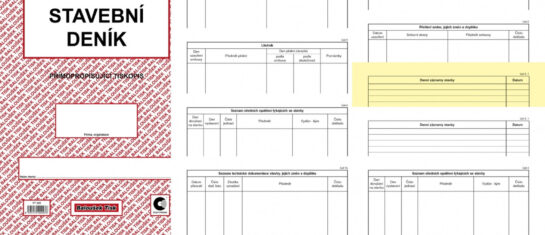
Integration of the Geoportal and the Stavee electronic construction log
The geoportal can now be integrated with the external application STAVEE Construction Log.
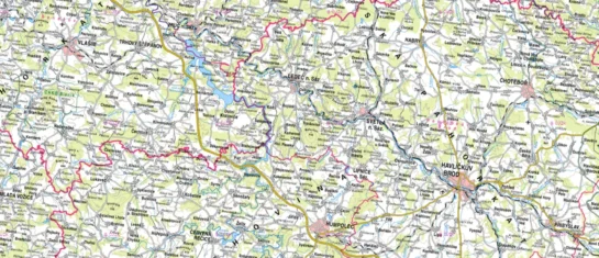
For now, printed maps do not belong in the recycling bin
Do you need to include a map with your project documentation? With the Map Export module in Geoportal, you can do it in a snap.
MawisGeoportal – A Revolution in Data Management and Sharing
MawisGeoportal for the effective visualization, publication, management, and sharing of your geodata and related documents.
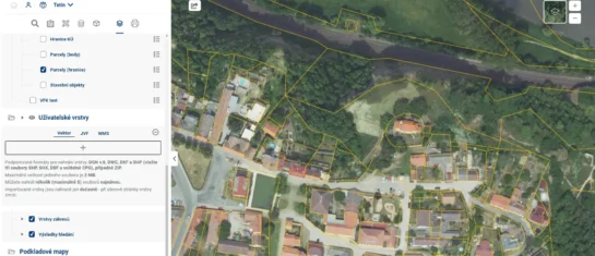
Uploading Your Own Data to the Geoportal Project
How do you upload your own or someone else’s data to the Geoportal project? There are three ways to do this. Let’s take a look at them.

What is the Digital Technical Map of the Czech Republic used for?
The DTM of the Czech Republic represents a huge step forward in the fields of geodesy and land-use planning, and its benefits will be indispensable in the construction process.
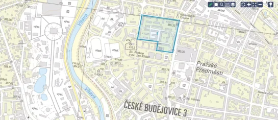
Discover a new dimension of geodata management with Geoportal
Discover the MAWIS Geoportal, a cloud-based mapping application for the efficient visualization, publication, management, and sharing of geodata.


