


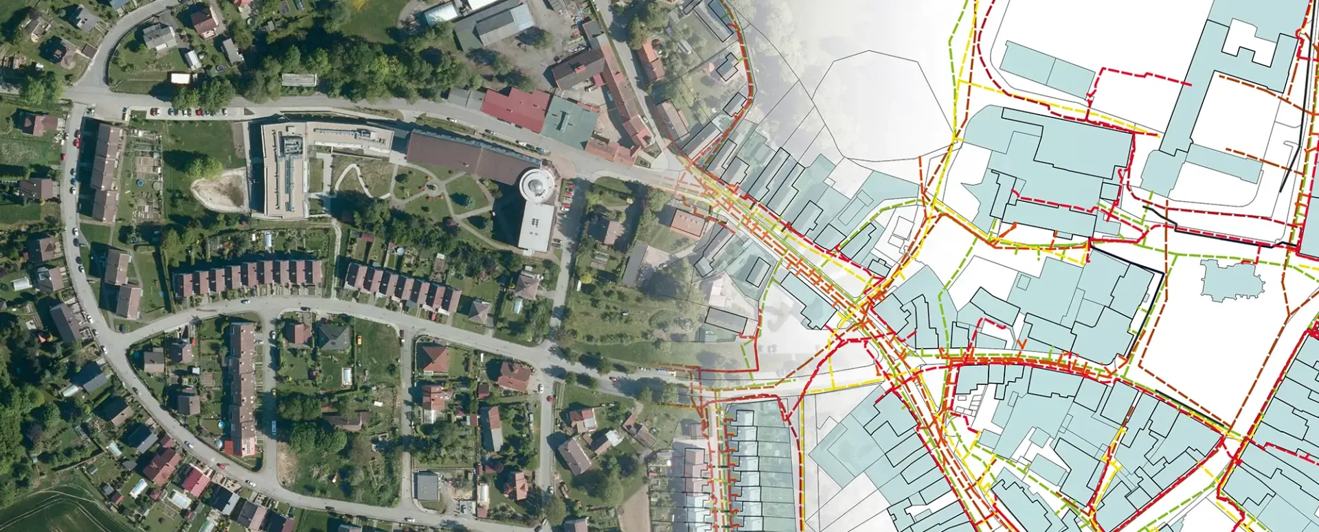
New MawisGeoportal App – DTM Networks Across the Czech Republic
Discover a comprehensive overview of the Czech Republic’s utility networks in a single app. A digital technical map is now at your fingertips.
We have developed the MawisGeoportal DTM Network app, which provides access to information on the location of utility networks throughout the Czech Republic.
In the DTM Network app, you can easily compare:
- a drawing of your project in DGN, DWG, DXF, SHP, JVF DTM, or VFK format
- Information from regional DTMs (Transport and Technical Infrastructure and ZPS)
- Land Registry, including graphically displayed easements
- Points of interest from the RÚIAN registry to help navigate the area
- public map data selected and prepared by us
- base layers – satellite image and base map
It’s now easy to find out information about the infrastructure.
Clicking on the map displays all features in the immediate vicinity of the point, i.e., objects from the displayed layers and their attributes, including information about the owner of the feature.
The data from the DTM ČR project—specifically, the regional digital technical maps launched this summer—serve as the source of information.
For more information about the app, visit https://tstwp.mawis.eu/en/sluzby/dtm-site/.
30-day free trial of the geoportal

More similar articles
New KN Thematic Maps – Easements, Land Categories, and Land Use
Three new thematic map layers from the Cadastral Register (KN) are now available on the Geoportal: easements, land categories, and land use.

Map application to support the construction of linear infrastructure
A mapping platform that consolidates design, construction, and inspection data throughout linear construction projects.

MawisPasport – Effective Management and Maintenance of Green Spaces
Get an overview of green spaces and green infrastructure elements. A green space inventory is an important tool for the effective management of public spaces and maintenance planning.


