


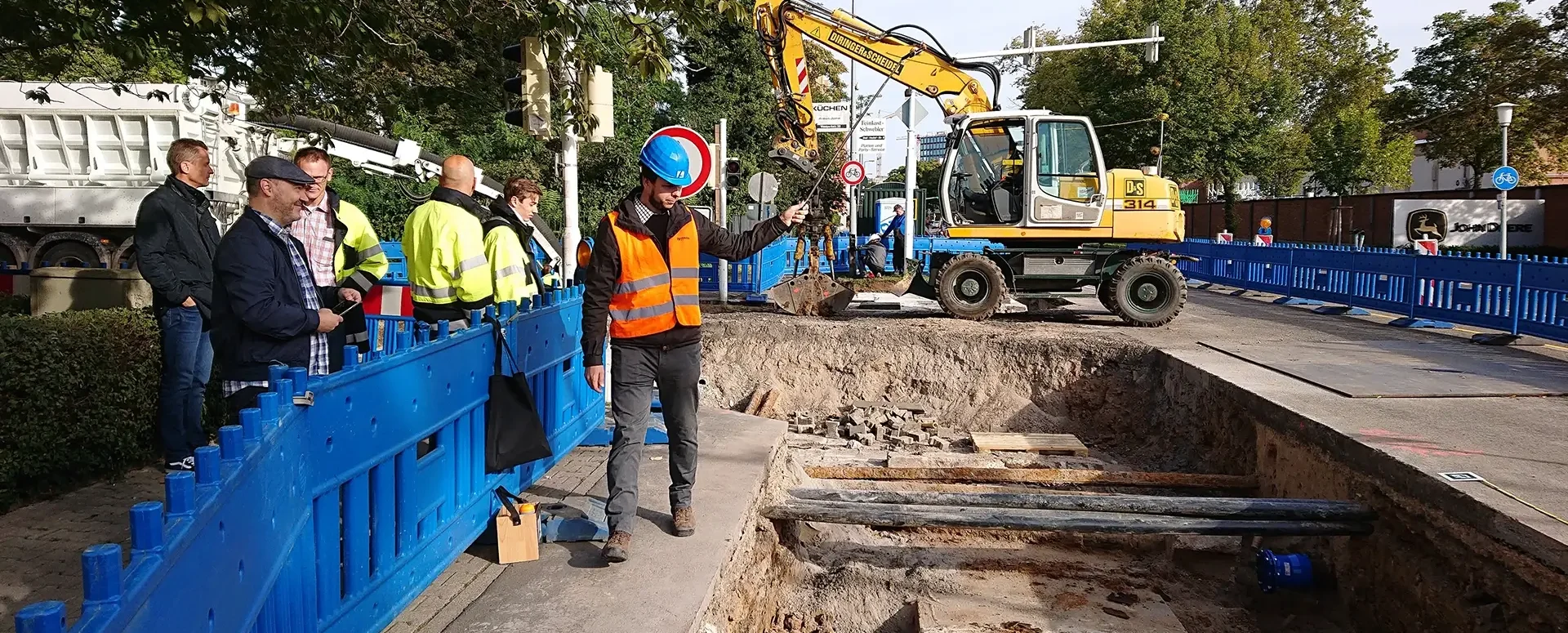
What is a DTM network, and who is it for?
A cloud-based application designed for builders, architects, real estate professionals, and developers.
The MawisGeoportal DTM Network is a specialized application tailored to the needs of builders, designers, real estate professionals, and developers. It provides tools for working with the digital technical map of the Czech Republic directly in your web browser.
The app is available at https://tstwp.mawis.eu/en/sluzby/dtm-site/.
Key features:
- Easily upload your own drawings
- Comparison of your project documentation with current DTM data for the Czech Republic
- Access to synthesized data from digital technical maps of regions
- Streamlined Management of Network Infrastructure Data
The perfect tool for:
- Builders and designers when preparing projects
- Real estate agents for a quick assessment of land potential
- Developers analyzing the availability of utility networks
- Real Estate Due Diligence from the Perspective of Infrastructure Connectivity
- Preliminary Assessment of the Costs of Connecting Properties to the Grid
For the real estate and development sector:
- Support in dealing with network owners
- An instant overview of the availability of all types of utility networks
- Easy assessment of the distance between connection points
- Assessment of Land Use Limits from the Perspective of Technical Infrastructure
- An effective basis for calculating networking costs
VIDEO: The DTM Network’s New App
30-day free trial of the geoportal

More similar articles
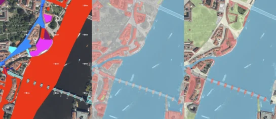
New KN Thematic Maps – Easements, Land Categories, and Land Use
Three new thematic map layers from the Cadastral Register (KN) are now available on the Geoportal: easements, land categories, and land use.

Map application to support the construction of linear infrastructure
A mapping platform that consolidates design, construction, and inspection data throughout linear construction projects.

MawisPasport – Effective Management and Maintenance of Green Spaces
Get an overview of green spaces and green infrastructure elements. A green space inventory is an important tool for the effective management of public spaces and maintenance planning.


