


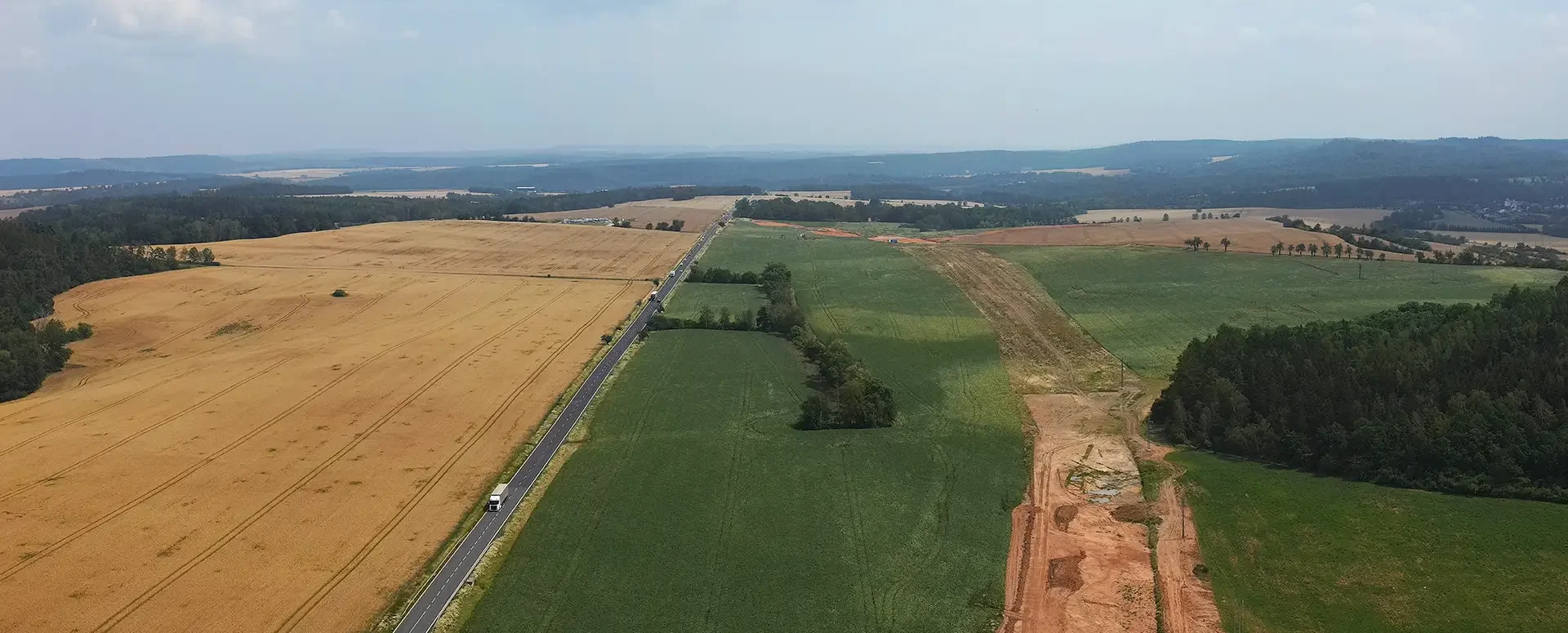
MawisGeoportal as a tool for monitoring construction progress
An application for the construction of highway sections or the renovation of railway lines. It is suitable for linear construction projects, real estate development projects, and smaller construction projects.
Paper drawings, scattered documentation, and complex coordination among work teams. These are certainly situations that many construction projects in the Czech Republic face. MawisGeoportal offers a solution for continuously storing and displaying data in a single application and sharing it with other colleagues on the construction site.
🎥 Watch this video clip straight from the D6 highway construction project:
A simple map that says it all
MawisGeoportal is a web application designed for the efficient monitoring and management of construction projects. It requires no installation and does not use complex CAD software—all you need to do is open a web browser. This gives users access to up-to-date construction data at any time, whether they’re in the office or right on the construction site.
Today, the application is used, for example, in the construction of new highway sections or the renovation of railway lines, but its applications are versatile—it is suitable for linear infrastructure projects, real estate development projects, and smaller public works projects.
What can you find on a single map?
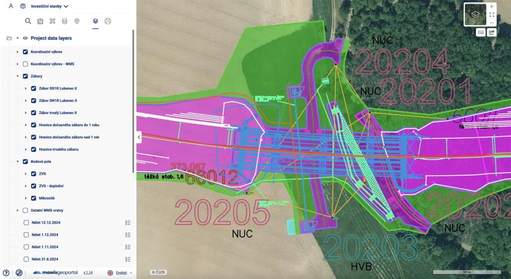
MawisGeoportal provides a clear overview of all key data:
- drawings of the existing and proposed conditions
- land survey documents
- working drawings, including survey data
- drone footage showing the current status of the construction site
- cadastral maps, orthophotos, and elevation data
Users can add any additional drawings in a variety of formats to the drawings and maps uploaded to the application by the administrator at any time.
Features that make your work easier
In addition to the basic data display, the app also offers advanced tools:
- Subtracting point coordinates in the S-JTSK system
- Measuring distances and areas directly on the map
- notes – a clear record of information
- 3D terrain model for a better sense of space
- Task Manager – Assigning tasks to specific points on the map
Tasks can also be linked to email notifications that include a direct link to the location on the map and a description of the issue or request. This way, teams don’t have to go through the hassle of making phone calls or sending PDFs via email—everyone immediately knows what needs to be done and where.
Real-world example: D6 Highway
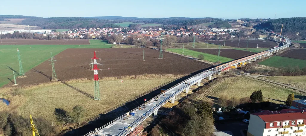
During the completion of the D6 highway, MawisGeoportal was deployed as a platform for sharing surveyors’ work results in support of the construction project, serving as a communication channel between the investor, designer, site manager, and surveyor. Construction personnel thus have easy access primarily to up-to-date orthophoto imagery of the site and can easily compare it with the designed positions of both temporary and permanent construction elements.
📄 For more information, see the example: Monitoring the Progress of Construction – D6 Highway Project.
Why switch to Mawis?
If you’re still printing drawings, sending them via email, or going through the hassle of forwarding tasks between team members, it’s time to change that. MawisGeoportal is a modern, user-friendly solution that can instantly improve your daily workflow.
30-day free trial of the geoportal
Contact Information
Would you like to know more? Please don’t hesitate to contact us.
Ladislav Bláha +420 724 863 431 | ladislav.blaha@hrdlicka.cz
Miroslava Kubíčková +420 602 477 250 | miroslava.kubickova@hrdlicka.cz

More similar articles
New KN Thematic Maps – Easements, Land Categories, and Land Use
Three new thematic map layers from the Cadastral Register (KN) are now available on the Geoportal: easements, land categories, and land use.

Map application to support the construction of linear infrastructure
A mapping platform that consolidates design, construction, and inspection data throughout linear construction projects.

MawisPasport – Effective Management and Maintenance of Green Spaces
Get an overview of green spaces and green infrastructure elements. A green space inventory is an important tool for the effective management of public spaces and maintenance planning.


