


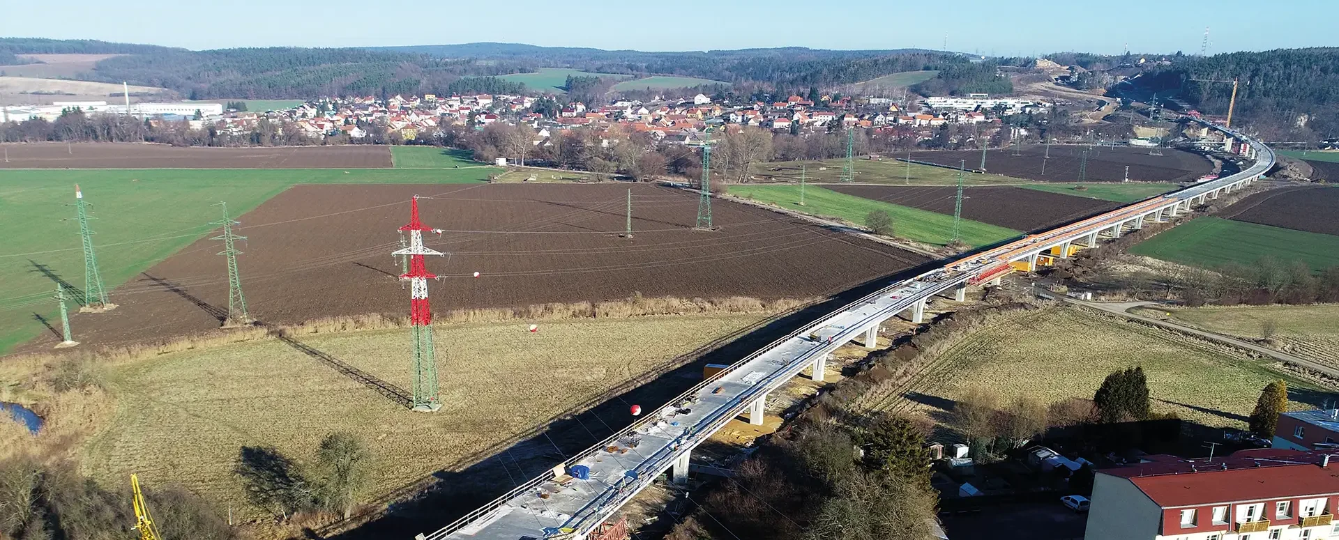
MawisGeoportal – Construction Progress Monitoring – D6 Highway Project
Digital Construction Monitoring: MawisGeoportal Brings Clarity and Efficiency to Highway Construction.
Reference Project: We successfully implemented construction progress monitoring on the key D6 St. Petersburg–Lubenec and D6 Lubenec–Bypass projects, Phase II
As part of our work on linear construction projects, we are increasingly addressing the need for all project participants to view various spatial data related to the construction process without having to own software tools for viewing and editing that data—tools which are complex to use and very expensive to purchase and operate. At the same time, construction management does not need to create the data directly, but rather needs to make the right decisions based on it—that is, it needs to work with up-to-date data that is current, accessible, and combinable at any given moment.
🎥 Watch this video clip straight from the D6 highway construction project:
Digitalization has been making its way into the construction industry for many years, driven by the BIM approach to construction and the use of a Common Data Environment (CDE). However, these solutions are highly complex; they address process, budgeting, and documentation workflows within construction, while the visualization and integration of spatial data from various data sources and in different formats remains a niche concern.
And yet it’s such a shame, for example, combining a view of the current construction site—captured by a drone, for instance—with the valid site plan and land use report, which is accessible to everyone in our solution, allows one to identify many issues at a glance that would otherwise be difficult to explain or describe in various reports, etc.
But that’s just one example; our solution allows users to view all spatial data in any combination—even technicians who don’t have any tools for working with spatial data. They simply receive a project update, a detailed as-built drawing, or a geometric plan; by dragging the file into the drawing with the mouse, the data will be displayed over the actual construction site, or our system will notify them that the submitted data is invalid, and the technician can immediately return it to the creator for revision.
The technician can then turn various parts of the documentation on and off, display only the required building elements, highlight the boundaries of construction sites, mask aerial photos from different construction phases, measure distances, areas with surveying accuracy, create their own points of interest, and assign tasks to other colleagues on the construction site, each of which will have its own precise geospatial coordinates. Everything is clearly and permanently stored in the project for future reference, including the history of task completion.
Users can attach notes, documents, and photos to any existing objects or elements as they see fit, and these will always be accessible to the entire construction management team.
Of course, building data is combined with underlying layers such as cadastral maps, orthophoto maps, zoning plans, flood zones, etc.
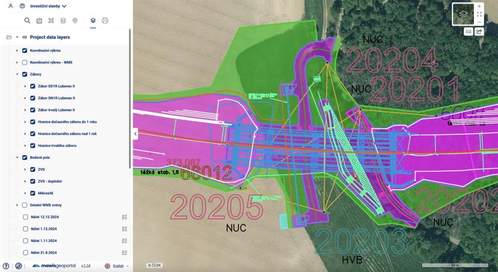
It is clear that someone must initiate the project, define the required scope of source materials and records, and establish a work team with assigned roles—not only at the editor/reader level, but also at the level of editor for specific sections of the documentation. Our team can quickly handle all of this thanks to a sophisticated admin console, while also managing the integration of more complex layers, such as structured construction coordination drawings or raster data from drones and scanners. As a result, this key data will have a standardized format throughout the entire solution. Everything can be handled within a single workday, provided the data and information are available.
And if you’re managing multiple construction sites at once, that’s no problem—with just two clicks, you can switch from one site to another without having to log in again, and you can immediately start addressing issues at the next site.
Key features of the solution:
- Web-based interface for managing construction project documentation (D6 Highway)
- Support for importing various types of spatial data (vector layers, Shapefiles, DGN files, the Land Registry exchange format (GP), and the DTM exchange format)
- The ability to upload project documentation, land acquisitions, and other map data
- Flexible document management (permanent/temporary storage)
- Easy task creation, management, and tracking
- The maximum file size for uploads is 2 MB
- Automatic coordinate system transformation
- Support for both raster and vector data
- Option to display PDF drawings as a raster image
Advantages of the solution:
- No installation required; everything runs simply by logging into the project
- Easy sharing of documentation among team members
- Easy comparison of different spatial data inputs
- Work with vectors and raster images in a single view
- Centralized access to project data stored in a backed-up cloud
- The ability to load large projects incrementally
- Streamlined management of the map section of construction documentation
- Technical support for processing complex drawings
- Ensuring data consistency in a unified coordinate system
30-day free trial of the geoportal
Contact Information
Would you like to know more? Please don’t hesitate to contact us.
Ladislav Bláha +420 724 863 431 | ladislav.blaha@hrdlicka.cz
Miroslava Kubíčková +420 602 477 250 | miroslava.kubickova@hrdlicka.cz

The Services Mentioned

Geoportal
More examples of usage
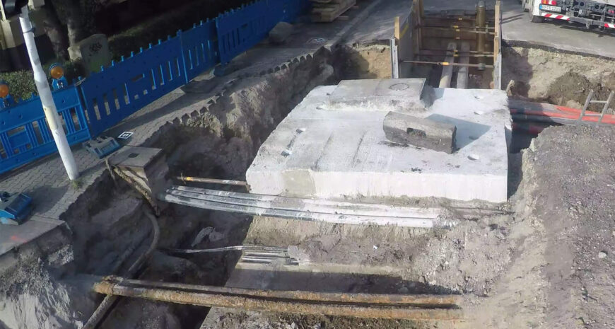
MawisPhoto – 3D mobile phone documentation of the Radeton training range
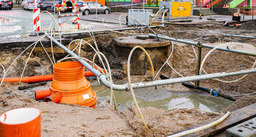
MawisUtility simplifies the process of obtaining network operators' approvals for builders
MawisUtility helps automate one of the steps in the building permit process—obtaining a statement regarding the presence of utility lines.


