


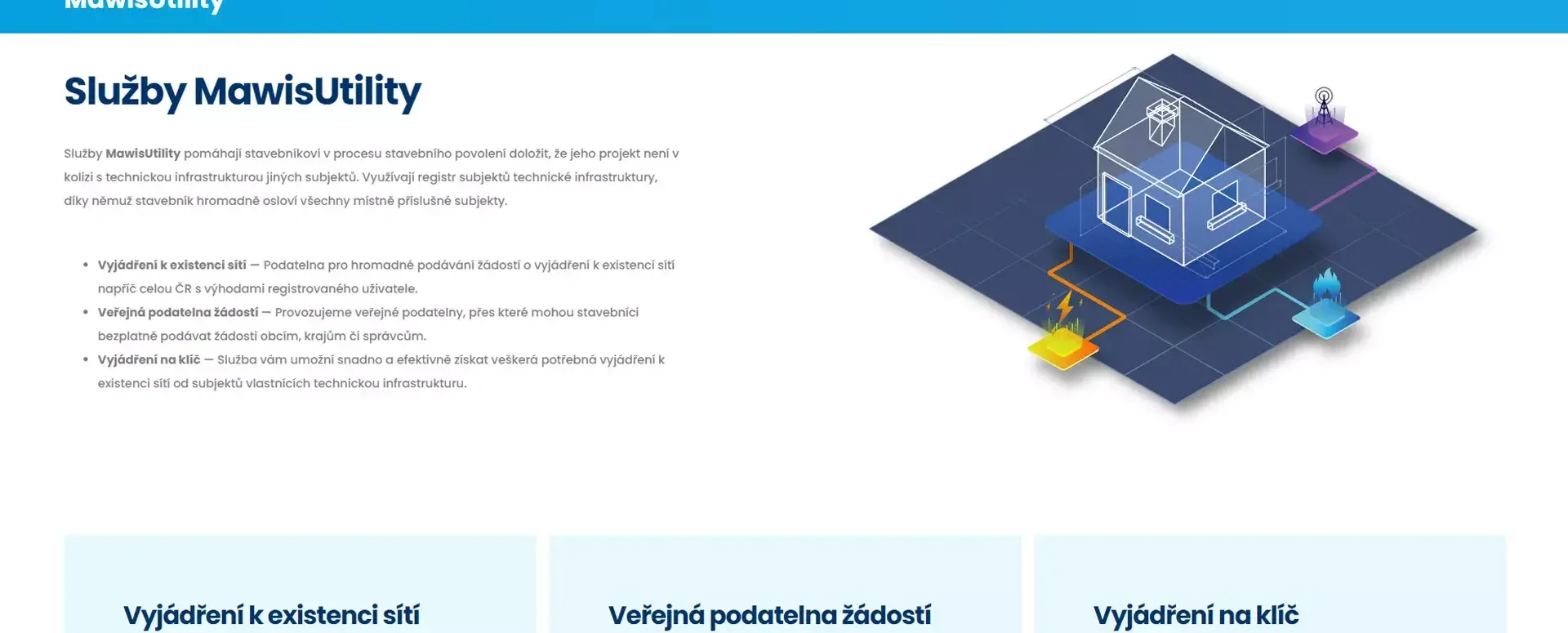
Access to the MawisUtility service
Get a clear understanding of how to use the MawisUtility app.
Make sure you understand how to use the MawisUtility app. It allows you to submit requests for confirmation of the existence of utility networks via a “bulk submission.”
What is a bulk submission?
The process for submitting bulk applications is as follows:
1. Register on the MAWIS portal.
2. Open the MawisUtility app.
3. The information you provided during registration will be automatically entered into Step 1 of the application process.
4. Delineate the area of interest—that is, the location for which you want to generate requests for information regarding the presence of utility lines.
5. You will be provided with a list of relevant technical infrastructure (TI) managers operating in the area of interest. In other words, the contacts you need to reach out to.
6. Bulk submission – generate requests for all affected IT administrators.
a. With some property managers, you can submit the request electronically—MawisUtility will submit it for you.
b. The remaining administrators must be contacted the old-fashioned way—by mail or in person. Fully pre-filled forms are available for them to print out.
Developing the app was both time-consuming and costly, so we established certain rules to ensure it runs smoothly. However, these rules have only a minimal impact on ordinary citizens who use the app.
The application process is always tied to the area where you want to build, so it doesn’t matter where you live.
Individual – free access
As an individual, you are entitled to three free bulk submissions per year if your county or city government provides access to the MawisUtility service for its residents within its jurisdiction.
This option will meet the needs of every ordinary citizen. You can find a list of participating regions and cities here.
Individual – Paid Access
You may want to use the paid access option if the local government in your region or municipality does not provide the MawisUtility service to residents in its jurisdiction. You can check this list to see if your area is covered.
As an individual, you purchase credits, which you then use to submit bulk requests. One credit equals one bulk submission. For the vast majority of regular users, the most affordable product, MawisUtility Standard, will suffice. We’ve set the price as low as possible, and it’s sure to be worth the time you’ll save by not having to run around to different locations.
We would like MawisUtility to be free for all citizens of the Czech Republic. That is why we are actively reaching out to local governments and gradually expanding our coverage to include additional municipalities and entire regions. If your region is not on the list, try contacting, for example, the deputy for regional development and construction in your region.
Legal entity / professional use – paid access only
For professional use, you must always use one of the products that are priced based on the volume of service you will use. These products are available to professionals in architecture, design, and real estate firms.
If you’re working on more complex projects or have a large team, be sure to check out the differences between the Standard and Premium plans, or contact our support team—we’ll be happy to assist you.

More similar articles
MawisUtility – 17 Years of Digital Support for Construction Management
For more than 17 years, a digital tool has been available that makes it significantly easier for builders and designers to submit requests for information regarding the location of utility lines.

MAWIS Service Integration – Complete Overview of Requests
In the MawisGeoportal environment, you can track the status of all requests submitted by an applicant in the MawisUtility application (this information is transferred automatically).
MawisUtility – DTM integration and other new features in the app
Key features of MawisUtility – integration with the Digital Technical Map – overview of submitted requests and responses in MawisGeoportal.


