



New conversion tools in MawisTools – JVF, DTM, DGN, SHP, DXF, and KML
The MawisTools library offers additional useful conversion tools for working with geodata and drawings.
Three new conversion tools are now available in the MawisTools library, simplifying work with geodata and drawings in various formats. Users can now efficiently convert between JVF DTM, DGN, SHP, DXF, and KML formats without having to install specialized software.
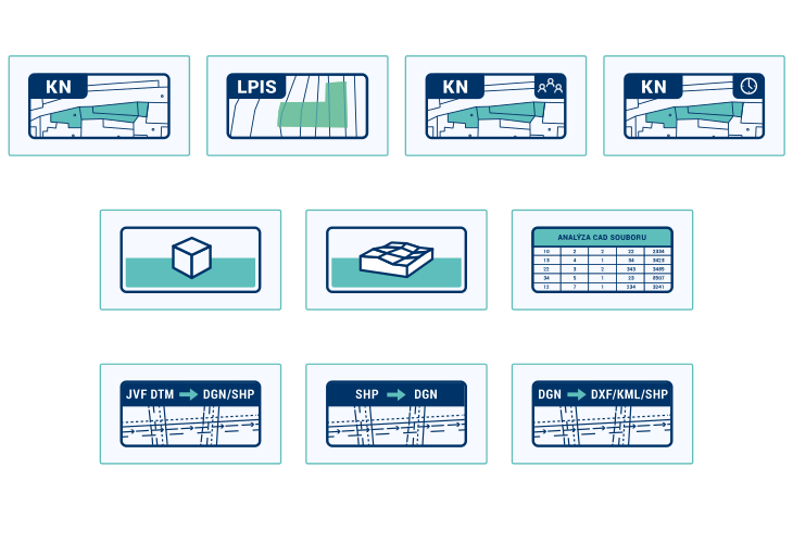
1. Conversion from JVF/DTM to DGN and SHP
The tool converts outputs in the JVF DTM (Unified Exchange Format for Digital Technical Maps) into DGN (Graphic Design System) drawings or SHP (Shapefile) data layers. Useful, for example, for building design or spatial data analysis.
2. Conversion from SHP to DGN
Conversion of SHP data layers (GIS format) into a DGN drawing (CAD format), including the organization of objects into layers and the addition of labels. Suitable, for example, for transferring source files in GIS format into project documentation in CAD format for MicroStation.
3. Conversion from DGN to DXF, KML, SHP
Export DGN drawings from MicroStation to universal formats for further processing in CAD, GIS, or Google Earth. Preserves geometry, attributes, and layers.
What is MawisTools used for?
- Transfers are processed online, with no software installation required
- The outputs preserve the structure of layers, elements, and attributes
- The tools support batch processing and standard formats
- Saves time when preparing materials for design and submitting documentation
Access to the Service
The tools are available to all registered users of Mawis.eu who have purchased a MawisTools license. You can find them in the section: Products and Services → MawisTools → Data and Drawing Analysis.
We offer a 30-day free trial so you can try out all the tools:
MawisTools: 30-day free trial
Contact Us
Do you need advice on something? We’re available by email and phone.
Ladislav Bláha +420 724 863 431 | ladislav.blaha@hrdlicka.cz

More similar articles
The Most Popular MawisTools Tools in 2026
Searching for affected parcels and converting JVF to DGN are the most frequently used MawisTools tools in 2026.
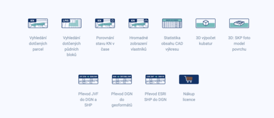
MawisTools – An advanced library of tools for surveyors, designers, and geoinformatics professionals
From searching for specific parcels to calculating volumes and converting data formats. Fast, online, and no installation required.

Conversion of JVF DTM to DGN and SHP – the new MawisTools tool
The converter allows you to create a drawing in DGN/SHP formats from JVF DTM data, which you can view in your preferred application.


