


The Most Popular MawisTools Tools in 2026
Searching for affected parcels and converting JVF to DGN are the most frequently used MawisTools tools in 2026.
Internal usage statistics show that, over the long term, two main uses of MawisTools have been recurring: assessing a project’s impact on land parcels in the real estate cadastre and converting data between formats.
Identifying the affected parcels
The most frequently used tool is the feature for searching for the relevant parcels.
The principle is simple: the geometry from the design drawing is compared with the land registry data, and the system automatically identifies which parcels, structures, or units are affected by the project.
The output is a list of parcels in the form of an Excel spreadsheet, which can be used, for example, to determine ownership relationships or as a basis for further project steps, such as property settlement.
This tool is primarily used in the early stages of construction planning, when it is necessary to quickly determine the project’s impact on the area in terms of property ownership.
Conversion from JVF to DGN
The second most commonly used tool is the JVF-to-DGN or SHP converter.
It is used to convert data from the Unified Exchange Format for Digital Technical Maps (JVF DTM) into a format that can be easily used in CAD or GIS software.
The user uploads a JVF file, selects the desired output format, and the system generates a drawing or dataset that complies with the Digital Technical Map standards. The output requires no further manual editing and is ready for use.
This tool is particularly useful when working with DTM data, where JVF is the default format, but most subsequent tasks are performed in DGN, SHP, or other common formats.
In conclusion
- Identifying the affected parcels helps users quickly orient themselves in the area and determine the project’s impact on property rights and settlement
- Converting JVF to DGN makes it easier to work with digital technical map data and use it in CAD/GIS design tools
MawisTools: 30-day free trial
Contact us
Do you need advice on something? We’re here to help via email or phone.
Ladislav Bláha | +420 724 863 431 | ladislav.blaha@hrdlicka.cz


New conversion tools in MawisTools – JVF, DTM, DGN, SHP, DXF, and KML
The MawisTools library offers additional useful conversion tools for working with geodata and drawings.
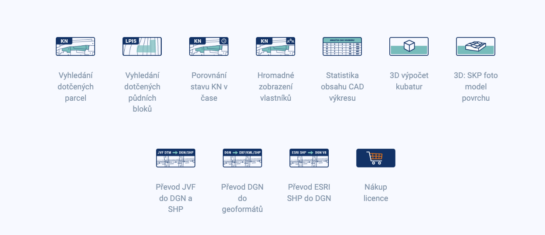
MawisTools – An advanced library of tools for surveyors, designers, and geoinformatics professionals
From searching for specific parcels to calculating volumes and converting data formats. Fast, online, and no installation required.

Conversion of JVF DTM to DGN and SHP – the new MawisTools tool
The converter allows you to create a drawing in DGN/SHP formats from JVF DTM data, which you can view in your preferred application.


