


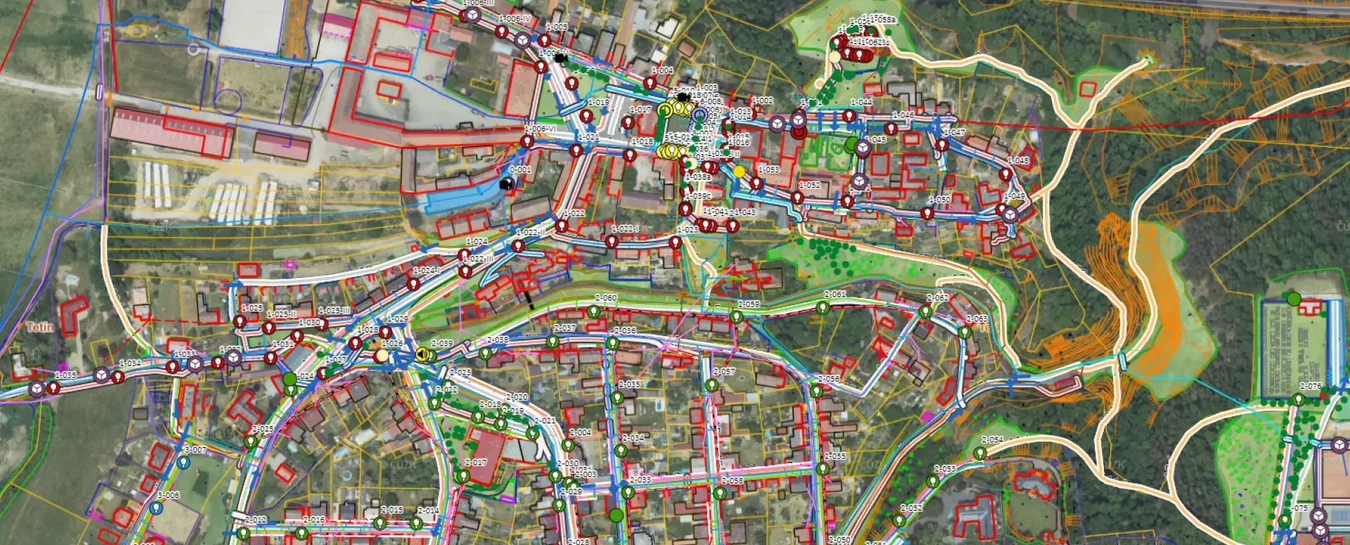
The Geoportal map window is packed with features
Easy to use, with a wide range of display and export options. Discover the key features of the map window.
The map window is a key component of the Mawis Geoportal. It offers intuitive controls and useful features that simplify working with spatial data. Whether you are a designer, a builder, or a network administrator, these features will save you time and make your work more efficient.
Here is a brief overview of what the map window can do:
Navigation and Map Controls
The map window is really easy to use. It’s simple.
- Navigating the map: Click and drag with the mouse.
- Zoom: Mouse wheel or the + and – keys.
- Reset: Button to return to the default position.
- Quick zoom: SHIFT + drag with the mouse.
Map Window Contents
The map window displays both base maps and data and user layers.
Base maps: These are configured according to your requirements. By default, the orthophoto map and base map from ČÚZK are available, but additional maps can also be added.
Project data layers: these may include technical maps, property records, digital terrain models, and other data stored in the Geoportal database.
User layers: These include data that you create or import yourself. For example, temporarily uploaded data in various formats or maps connected as WMS.
Integration with Panorama from Mapy.cz
We have added the ability to launch Panorama from Mapy.cz directly from the Geoportal, allowing users to view a detailed 3D image of a selected location by clicking on the map.
Export map content
You can save the map content as an image (PNG), share it via a link, or download it. Exported maps can be easily shared with colleagues or saved for future use.
30-day free trial of the geoportal
Do you need advice on something? We’re here to help via email or phone.
Ladislav Bláha

More similar articles
New KN Thematic Maps – Easements, Land Categories, and Land Use
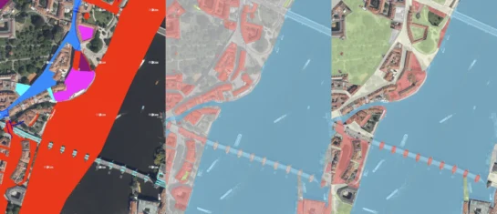
Three new thematic map layers from the Cadastral Register (KN) are now available on the Geoportal: easements, land categories, and land use.

Map application to support the construction of linear infrastructure
A mapping platform that consolidates design, construction, and inspection data throughout linear construction projects.

MawisPasport – Effective Management and Maintenance of Green Spaces
Get an overview of green spaces and green infrastructure elements. A green space inventory is an important tool for the effective management of public spaces and maintenance planning.


