
MawisUtility – 17 Years of Digital Support for Construction Management
For more than 17 years, a digital tool has been available that makes it significantly easier for builders and designers to submit requests for information regarding the location of utility lines.
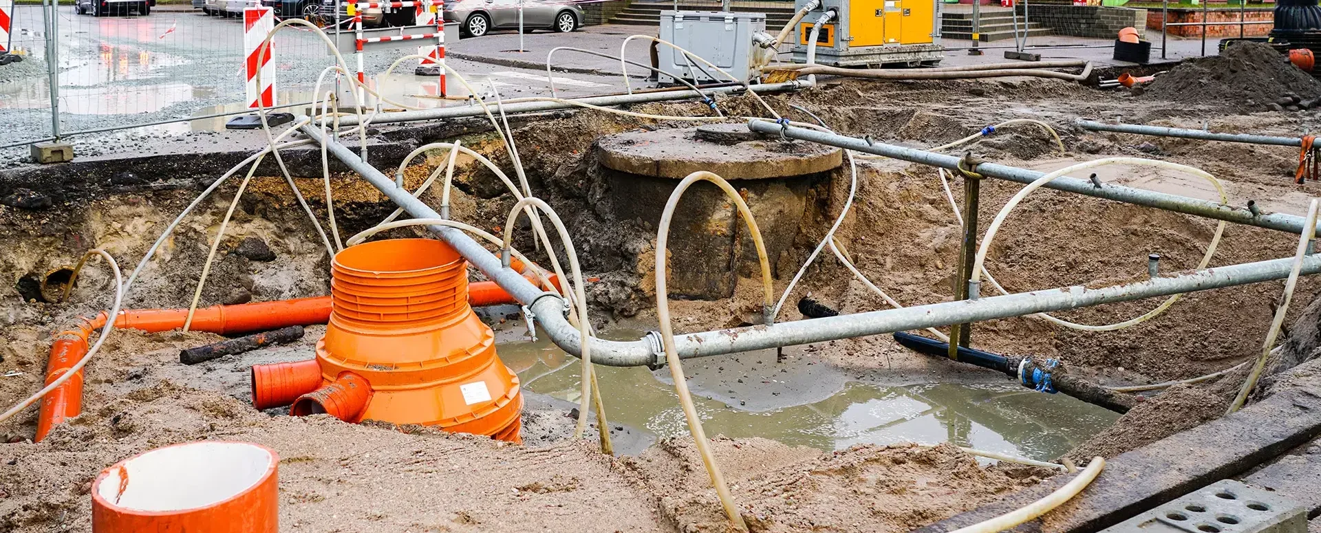
Obtaining a building permit in the Czech Republic involves a series of steps, including obtaining statements from the administrators of transportation and technical infrastructure regarding the presence of their networks in the area of the planned construction. This process is often complex, time-consuming, and administratively burdensome for builders.
However, for more than 17 years now, there has been a digital tool that makes this process much easier—MawisUtility—a statement regarding the existence of networks.
From Paper to an Electronic Filing System
The MawisUtility application was launched in 2009 as an electronic centralized submission portal for requests for statements regarding the existence of utility networks—at a time when the digitization of building permit procedures was still only being considered. The goal was simple: instead of having to contact dozens of utility providers, the app offered builders and designers a single electronic interface. Gradually, thousands of technical infrastructure providers joined the system, and the service became an integral part of everyday project practice in the Czech Republic.
How MawisUtility Works
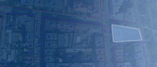
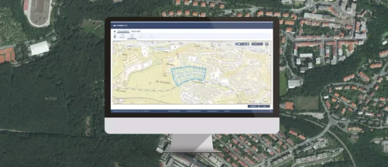
The applicant defines the construction site, the system identifies the relevant network operators, and requests are sent electronically to most of them immediately. Some entities must be dealt with individually (by mail or in person) because they do not allow applications to be submitted electronically.
The application is generated for all parties, ready to be downloaded and attached to the construction documentation.
Benefits for builders and property managers:
- Saves time and money—one form sent to all administrators at once
- Guaranteed completeness – the application uses a continuously updated database of administrators
- Transparent Overview – All Submissions Are Tracked in One Place
- Over 400,000 applications per year—the app has been proven effective throughout the Czech Republic
MawisUtility and DTM – Digital Technical Maps of Regions
The Digital Technical Map (DTM) will likely be the primary source of information on technical infrastructure in the future. We take it seriously and are integrating its data into our system. However, the reality is that the DTM is not yet complete everywhere. That is why we combine two sources: the Digital Technical Map and the Register of Technical Infrastructure Entities, which is still more accurate and complete in many areas.
This ensures that the user always receives the most accurate list of entities that need to be contacted. And that is the first step toward successfully negotiating a construction project.
Combining two data sources, the ability to send bulk communications, and the tracking of responses results in significant time savings and fewer errors. Designers, investors, and building authorities all have a clear overview, and the entire process is more efficient.
DTM ČR Will Help—But It Can't Replace the Players Themselves
The new Building Act and the Digital Technical Map of the Czech Republic hold great promise for the entire construction industry. However, network owners are entering their data into the DTM gradually, and the map does not yet fully reflect the actual state of the terrain.
Crucially, even the data from the Czech DTM cannot be used to issue a legally binding statement regarding the existence of networks without directly contacting the administrator. The law places this responsibility on the administrators themselves.
MawisUtility therefore continues to operate and is naturally supplemented with DTM ČR data.


MAWIS Service Integration – Complete Overview of Requests
In the MawisGeoportal environment, you can track the status of all requests submitted by an applicant in the MawisUtility application (this information is transferred automatically).
MawisUtility – DTM integration and other new features in the app
Key features of MawisUtility – integration with the Digital Technical Map – overview of submitted requests and responses in MawisGeoportal.
MawisUtility – 15 Years of Digital Support for Construction Management
MawisUtility was established in 2009 as a centralized platform for submitting requests for statements regarding the existence of utility networks throughout the Czech Republic.


