


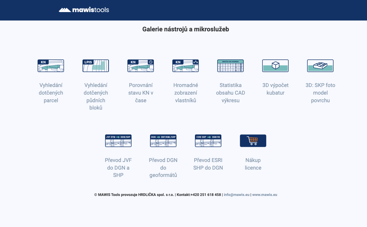
MawisTools – An advanced library of tools for surveyors, designers, and geoinformatics professionals
From searching for specific parcels to calculating volumes and converting data formats. Fast, online, and no installation required.
📖 Article in TZB INFO: MawisTools: An advanced library of tools for surveyors, designers, and geoinformatics specialists.
The digitization of technical documentation, working with spatial data, and effective communication between designers, surveyors, and government agencies play a crucial role today in the preparation and implementation of construction projects. The MawisTools online service was created specifically for these purposes; it offers a set of specialized tools for processing data from the real estate cadastre, CAD drawings, GIS layers, and public data sources.
When are MawisTools useful?
MawisTools is primarily used for:
- surveying firms and design teams
- transport and technical infrastructure designers
- municipalities and cities that maintain their own asset records
- government agencies in the area of process digitization
- and other professions that require accurate geodata
Main Tools in MawisTools
1. Tools for Working with Land Registry Data
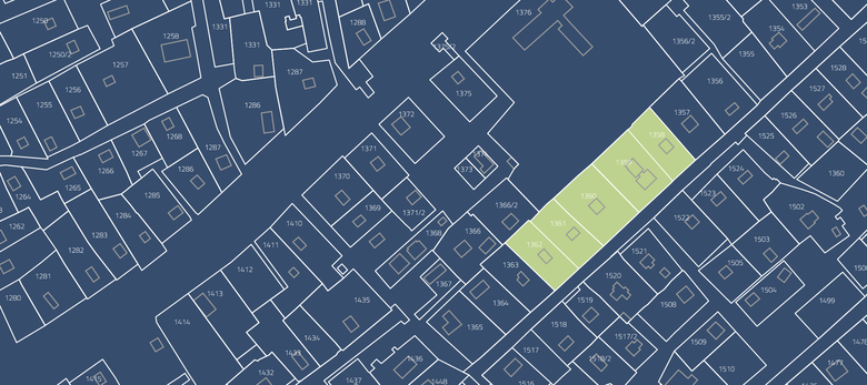
- Searching for relevant parcels: overlaying DGN/DWG drawings onto the real estate cadastre, automatically identifying relevant parcels, buildings, or units. The output is a list of parcels with links to the Real Estate Cadastre Viewer application
- Identifying the relevant land parcels: identifying parcels based on the RÚIAN and assigning them to land parcels from the LPIS registry. The result is a list of parcels, including information on their agricultural use
- Bulk display of owners: adding current owners from the land registry to the output table for the relevant parcels or land blocks
- Comparison of Cadastral Register data over time: verification of changes in area measurements or geometry in the Cadastral Register; the output consists of updated DGN drawings and a summary of changes
📄 Read more in the article: Searching for Affected Parcels and Their Owners.
2. Calculations and Analyses of Spatial Data
- 3D volume calculation: comparison of two surfaces (existing vs. proposed terrain) and automatic calculation of excavation and fill volumes
- Surface photomodel: creation of a 3D photomodel from DMR 5G and Czech Republic orthophotos, export to a format compatible with SketchUp
- CAD Drawing Content Statistics: Generating an Excel summary of used objects and statistics from DGN/DWG drawings
3. Data Format Conversion (New)
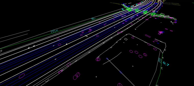
- Conversion of JVF DTM to DGN/SHP: We generate a drawing in DGN or SHP format from JVF DTM (Digital Technical Maps) data
- SHP to DGN Conversion: Easily convert data from the ESRI SHP format to a DGN V8 drawing
- Convert DGN to DXF/KML/SHP: We can convert a DGN drawing into DXF-GNSS, SHP, or KML files
📄 Read more in the article: Converting JVF/DTM to DGN and SHP – the new MawisTools tool.
In Conclusion
MawisTools is a practical tool for surveying and design firms in the digital environment. It helps save time, improve the accuracy of outputs, and streamline collaboration across different professional disciplines. The tool library is continuously expanding and adapting to current practical needs.
🔗 More information: www.mawis.eu/sluzby/analyza-dat-a-vykresu.
MawisTools: 30-day free trial
Do you need advice on something? We’re here to help via email or phone.
Ladislav Bláha +420 724 863 431 | ladislav.blaha@hrdlicka.cz

More similar articles
The Most Popular MawisTools Tools in 2026
Searching for affected parcels and converting JVF to DGN are the most frequently used MawisTools tools in 2026.

New conversion tools in MawisTools – JVF, DTM, DGN, SHP, DXF, and KML
The MawisTools library offers additional useful conversion tools for working with geodata and drawings.

Conversion of JVF DTM to DGN and SHP – the new MawisTools tool
The converter allows you to create a drawing in DGN/SHP formats from JVF DTM data, which you can view in your preferred application.


