


The Faculty of Civil Engineering at the Czech Technical University in Prague conducted research on the MawisPhoto service
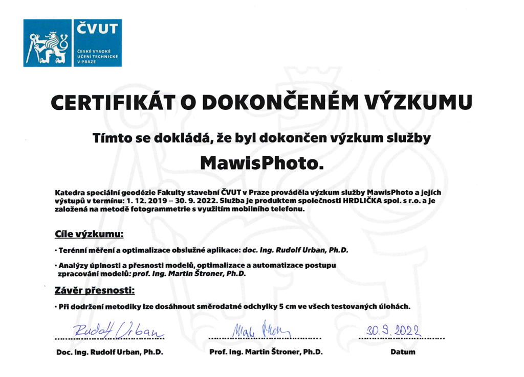
From 2019 to 2022, the Department of Special Geodesy at the Faculty of Civil Engineering of the Czech Technical University in Prague conducted research on the MawisPhoto service.
From 2019 to 2022, the Department of Special Geodesy at the Faculty of Civil Engineering, Czech Technical University in Prague, conducted research on the MawisPhoto service. This service, developed by HRDLIČKA spol. s r.o., is based on a photogrammetry method using a mobile phone.
What did this research look like?
As part of the project, Doc. Ing. Rudolf Urban, Ph.D., focused primarily on field measurements and the optimization of the user application, including measurement guidelines. Prof. Ing. Martin Štroner, Ph.D., head of the Department of Special Geodesy, focused primarily on analyzing the completeness and accuracy of models, as well as optimizing and automating the model processing procedure.
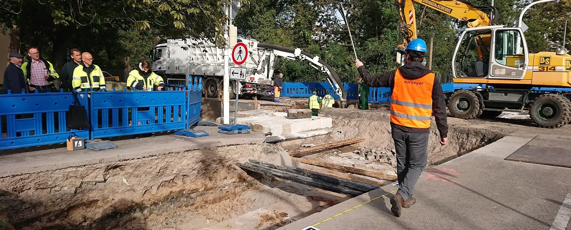
A test excavation was created on the Hrdlička company premises, around which a polygon was established. The polygon’s point cloud was in the local coordinate system, and specific control points (for both the scanner and the images) were measured using a Trimble S9 HP total station. As part of the research, we tested measurement procedures, the placement and marking of control points, as well as the actual measurement and imaging, using a GoPro camera, Samsung Galaxy S6 and Samsung Galaxy S8, and Lenovo Z6 Pro, along with a custom Python script. Calibration was performed for the measurements, and a single image was used to test the calibration in Agisoft (Lenovo Z6 Pro). Based on the experiment, it can be said that the accuracy of the specified pre-calibration elements is essentially irrelevant. For data comparison, the excavation was scanned with high accuracy (millimeters) using a Leica P40 terrestrial scanner.
The faculty was also provided with data from various excavation sites and instruments for testing purposes. The wide variety of terrains, imaging methods, and resolutions used in the testing proved very helpful. This data was used to analyze specific situations and configurations. Calculations were performed in Agisoft Metashape, and CloudCompare was used for evaluation (determining accuracy, etc.). Data was processed from approximately 5 comprehensive tests and roughly 20 others covering special situations. In total, more than 2,500 tests were processed.
Conclusion and findings from the research:
When the specified rules are followed, a standard deviation of 5 cm can be achieved in all tested tasks. The CTU final report, “Summary Document from the Technical Report on the MawisPhoto – CTU Research,” contains 51 pages with detailed information on individual measurements and their analysis, including evaluation.

More similar articles
MawisPhoto at the Chotěboř construction site
On April 7, 2022, HRDLIČKA spol. s r.o. demonstrated the MawisPhoto software—Beta version—directly on-site at our construction project.
MawisPhoto is also making a name for itself abroad
Our MawisPhoto service, which allows users to create modern 3D documentation using a mobile phone, has attracted the interest of customers both domestically and abroad.
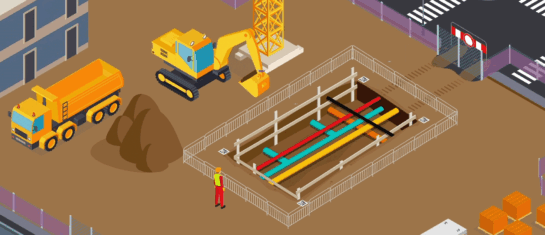
The digital transformation of the construction industry is here
MawisPhoto offers a modern way to keep 3D records using your smartphone.


