


References
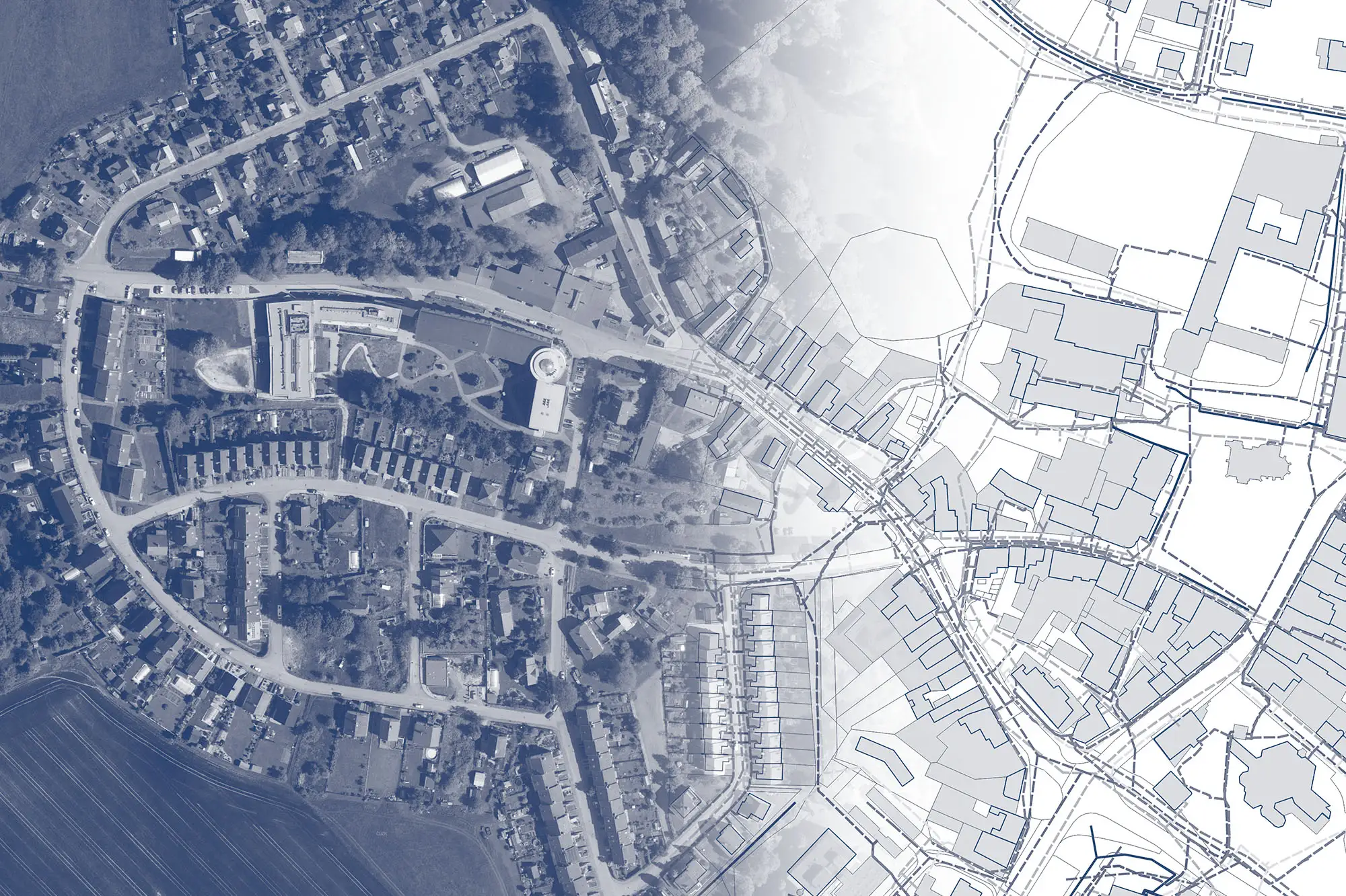
Thanks to Hrdlička, we now have access to a digital historical orthophoto map from the 1930s, 1970s, and 1980s, which serves our staff very well in analyzing the development of our city, as well as, for example, students as a resource for their studies of history and urban development.


Hrdlička demonstrated the MawisPhoto app to us right on-site at our construction project: Buttulova. We then had a 3D model of the site created (georeferenced using points marked with QR codes) so that we could document the condition of the structure below ground level. Thanks to this, we now know retrospectively how deep our utility lines are laid, whether basic standards were met, and whether there are any intersections between lines… We will use this document as an effective and accurate basis for future decisions, such as in the case of repairs. We were satisfied with the training and collaboration, and we see the MawisPhoto solution as an important component in the further planning of construction modifications.

The MawsiUtility app is a unique tool for builders, who can find all the necessary preliminary information about utility networks in the area affected by a proposed construction project in one place and can communicate directly with some of the owners of these networks right from the app.


On behalf of EG.D, we were among the first to test MawisPhoto technology, which enables efficient construction management and facilitates the documentation of construction sites and their locations. Our field data collection operators were first thoroughly trained by Hrdlička, which gave us the opportunity to test various imaging methods. The most common method of data documentation was a 3D model georeferenced using points marked with QR codes, which allows for quick fieldwork. You simply record a video and can then derive lengths and volumes from the resulting 3D model. In total, we documented 80 structures using 4 different methods. We now have access to all the resulting data via a web application, and it generally meets the Class 3 accuracy standard used for land registry measurements (according to the Land Registry Decree). In addition to 3D visual recording of the actual condition of the documented site, the technology allows us to measure coordinates, lengths, areas, and volumes, thereby enabling remote inspection of the structure. The service is also excellent for tracking additional work. It serves as a more efficient and faster basis for resolving repairs and malfunctions. We see another indisputable advantage of the entire technology in the fact that documentation for the above-mentioned purposes can be performed by anyone on the construction site who has a phone with the app installed.



