


MawisGeoportal – From Mayors to Mayors
The design and development of the MawisGeoportal app are based on the practical experience and real-life situations of a part-time mayor.
The most rigorous and practical tester of our Mawis applications is the company owner—who also serves as the part-time mayor of a municipality in the Beroun region. The design and development of the MawisGeoportal system are based on his experience with the day-to-day operations of a municipality that cannot afford to hire a GIS specialist.
1) Clarity
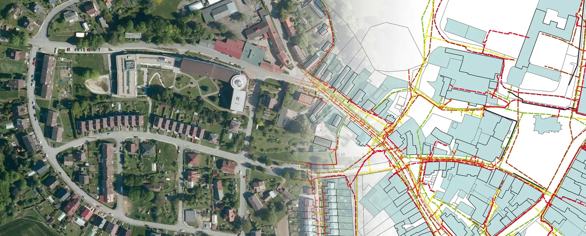
Local governments need a simple tool that even people without a technical background can understand. The Tetín municipal geoportal provides a clear overview of municipal assets, clearly shows the location of each item, and makes it easy to share information with technicians, external companies, or government officials.
Anyone who opens the system—whether it’s the mayor, deputy mayor, a public works employee, or a representative of a construction company—needs to quickly find what they’re looking for. For example, they need to know if there are any gas lines, sewer lines, or other “surprises” beneath the planned excavation site.
2) Completeness and timeliness
Before the current mayor took office, the municipality’s records were in disarray. Some were on CDs provided by vendors, some were stored on the office computers, and others were in paper folders tucked away in a cabinet. It was difficult to determine which version was current and where the necessary documents were located.
Following a change in municipal leadership, a major shift took place: all documentation was consolidated into a single location, accessible to everyone who needs it. Tetín began using QGIS and entrusted data management to our GIS department. This model is ideal for municipalities that do not have their own GIS specialist. The advantage is that the documentation is always up-to-date, well-organized, and easily accessible.
3) Ease of sharing
The next step was to replace the QGIS desktop system with a modern cloud-based solution—MawisGeoportal. This eliminated the need to manually distribute updates to individual computers. All data is stored centrally and is immediately available to all authorized users.
This means that sharing information is now just a click away. The mayor no longer needs to send emails with screenshots—instead, he can send a link to a live application that immediately displays the relevant section of the map or a specific record with full details to the other party.
This facilitates collaboration in network management, property registration, land records, and other aspects of municipal property management.
4) Accuracy
A clear visualization of all the data in one place revealed errors in the documentation. In the past, these errors would have remained hidden; it was impossible to perform effective checks using paper maps or scattered files on CDs.
As soon as the municipality began using GIS tools, a list of minor discrepancies emerged, which our team either corrected immediately or recommended resurveying using precise surveying methods. As a result, it is now clear just how high-quality and accurate the individual data points are.
The transition to MawisGeoportal has further simplified the entire process. There is no longer any need to distribute updates—once a change is made, it is immediately reflected for all users. And it doesn’t matter where they are—the latest data is also available to our GIS team, which manages the system remotely.
5) Cost savings during construction
It is essential for every municipality to have an accurate and up-to-date technical map. Thanks to this, Tetín has significantly reduced its construction costs. Since the designers had access to high-quality data, they did not need to resurvey the entire area—all they had to do was add a few points.
This has significantly reduced design time and, at the same time, lowered construction preparation costs. A high-quality technical map quickly pays for itself—not only for major investments, but also for smaller repairs and modifications to utility networks.
6) Accurate record-keeping of green spaces
Maintaining public green spaces is an annual expense for the municipality. By accurately surveying the areas, the municipality can bill precisely for the scope of mowing or maintenance. This prevents overbilling.
We know of a real-life example of a city (which cannot be named) where a re-measurement of green spaces revealed that the contractor was billing for approximately one-third more area than actually existed. One of the factors that prompted this action was the new company Volvo assigned to the head of the firm responsible for maintenance. Accurate records help not only to control costs but also to protect public funds.
30-day free trial of the geoportal

The Services Mentioned

Geoportal
More examples of usage
MawisUtility – How have regional authorities made their digital application portal available to citizens?
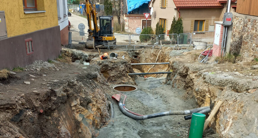
The MawisUtility electronic filing system allows developers in several regions of the Czech Republic to submit applications in bulk and online.
MawisPhoto is revolutionizing the way utility networks are documented
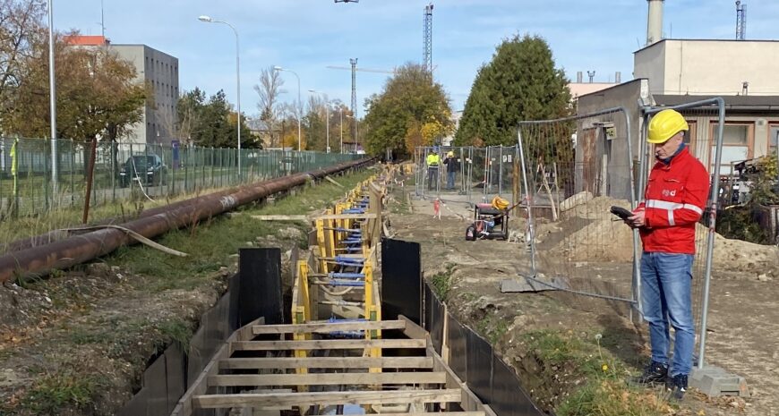
A pilot project for EG.D at a substation demonstrates the potential for safe and efficient 3D data collection in the field, as well as for low- and medium-voltage systems.


