The MawisGeoportal mapping application at Sokolovská bytová
Sokolovská bytová uses the MawisGeoportal application to manage its district heating networks.
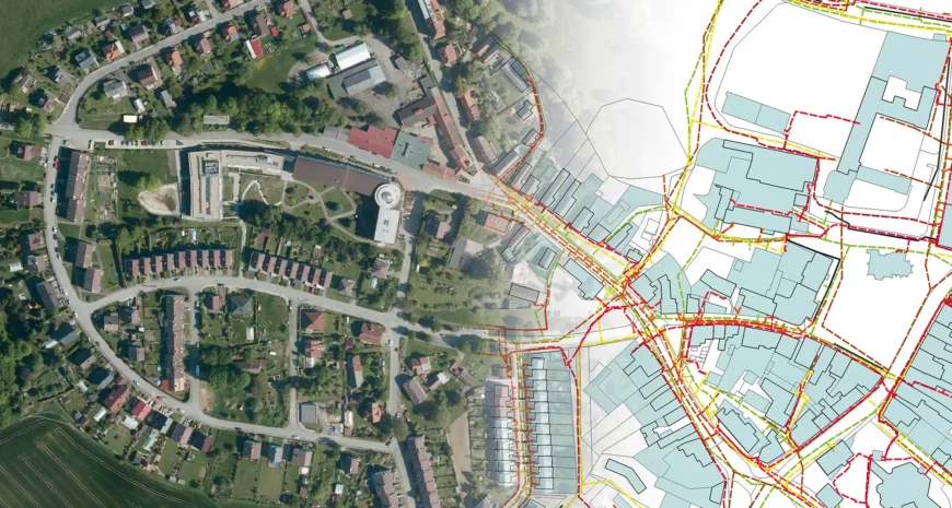
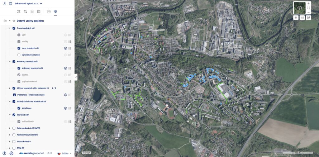
Sokolovská bytová uses the MawisGeoportal mapping application to manage its utility networks. It contains map layers showing the company’s heat distribution networks, heat exchange stations, intersections with other networks, and other standard utility network diagrams.
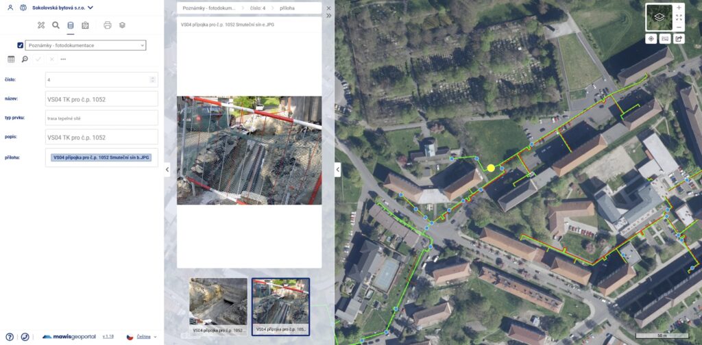
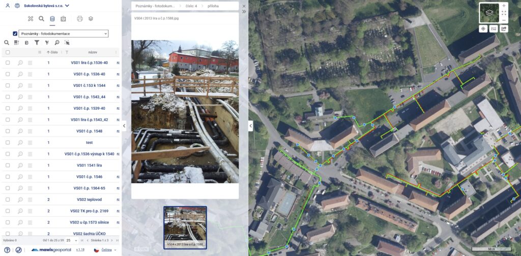
However, they have one interesting, simple, and very practical extra feature—a layer of notes with photos that serves as visual documentation of the locations where renovations took place or where technical equipment is located.
The blue points on the map typically indicate entry points into buildings, intersections with other networks, private manholes, and locations where there is access to shut-off valves or branch lines—that is, points where the network can be disconnected or connected. All of these elements are also documented with photographs.
Unlike the traditional method of storing photos in folders on your hard drive, everything is clearly accessible right on the map. Just click on a specific point and you can immediately see what is or was there. You can view and add notes directly from your phone or tablet. You can create a note right in the field and attach a photo you’ve taken to it right away.
In addition to photos, you can also attach other information to points—such as pipe diameters, materials, technical specifications for heat exchanger stations, or any other documents. These may include technical data sheets, manuals, or links to other systems—such as financial or asset management systems.
For example, the hot-water shaft near a building is marked on the map by its house number, which uniquely identifies the connected house. The house number also identifies the technical record in the shafts layer. There is also a record for that location in the notes layer, complete with photographs.
Notes accompanied by photographs often document the condition of underground utility lines. This allows workers to see in advance what they can expect to find on site in the event of a malfunction or emergency response.
The photo notes feature is simple but very practical. It allows you to quickly get your bearings, look at a specific location, and have everything you need at your fingertips without a complicated search. It has proven its worth at Sokolovská bytová, and it is likely to find use with other technical infrastructure managers as well.
30-day free trial of the geoportal
Contact Information
Would you like to know more? Please don’t hesitate to contact us.
Ladislav Bláha +420 724 863 431 | ladislav.blaha@hrdlicka.cz
Miroslava Kubíčková +420 602 477 250 | miroslava.kubickova

The Services Mentioned