


Exchange Format for Geotechnical Contracts for Linear Projects
Last year, we joined the team that updated the C4 regulation.
Last year, our company—represented by Development Director Jan Jiránek, Ing.—joined the team led by Petra Janků, Ing., who was tasked by the Road and Motorway Directorate (ŘSD) with updating Regulation C4 in her role as the project’s technical guarantor. This work was part of the Road and Motorway Directorate’s new era of standardization and digitization of processes, which the original C4 regulation for processing geotechnical investment project documentation did not cover. One of the notable results of our joint effort was the design and discussion of the C4 exchange format proposed by ISAX. This exchange format is based on XML with an XSD validation schema designed to verify that the resulting format is formally correct.
Another outcome of this collaboration is the draft of a new version of the C4 technical standard, which incorporates the C4 exchange format and clearly prescribes a machine-readable structure for geotechnical contract data files—such as borehole documentation and photographic records—including links to descriptive information and corrections to several ambiguities that arose from the use of the previous version of the standard.
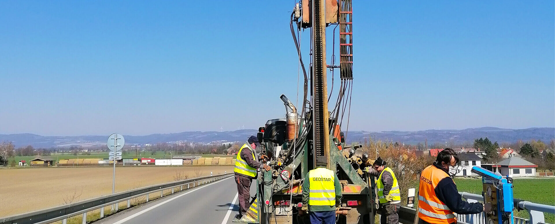
The team included geomatics specialists from ISAX—Ing. Barbora Racková and Ing. Jiří Blábol—as well as Ing. Kamil Alferi representing the Road and Motorway Directorate of the Czech Republic (ŘSD ČR), Ing. Milan Majerčík representing the Railway Administration, and Richard Binko representing the Czech Geological Survey. Geotechnical experts were represented by Mgr. Vít Ambrož, Ing. Mgr. Jan Valenta, Ph.D., Mgr. David Relich, Ph.D., and Mgr. Marián Bošanský from our partner company Geostar s.r.o.
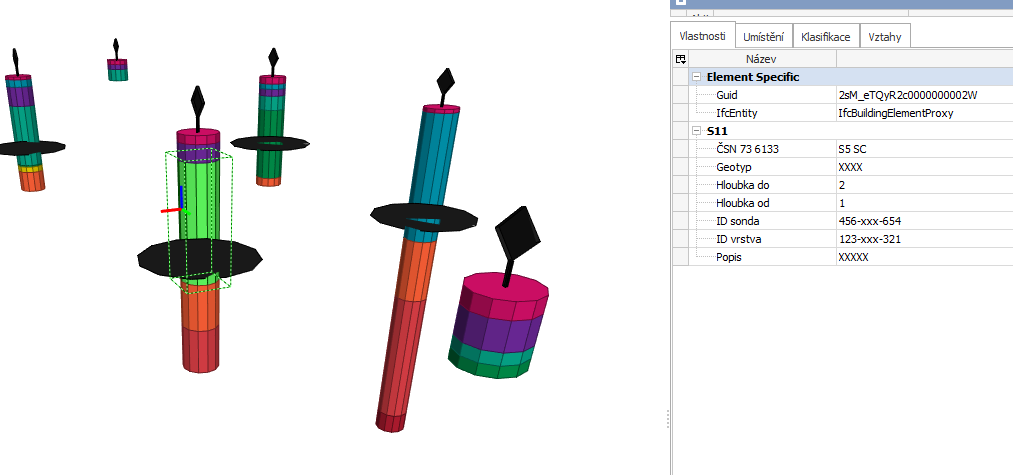
Another significant outcome of our joint work was the draft proposal for a BIM model of geotechnical projects for the State Fund for Infrastructure Development (SFDI), prepared by Ing. Jana Gottvaldová, Ph.D., and Ing. Edita Kunčarová on behalf of CadConsulting. The proposal includes a BIM object representing the borehole location, the groundwater table area, and 3D cylinders representing individual geological layers, as clearly shown in the prototype design illustration.
Currently, approval processes for updating the technical regulation are underway at the Road and Motorway Directorate (ŘSD), and the Railway Administration will be initiating a project inspired by the results from the ŘSD, which it will certainly utilize in the planning and construction of the high-speed rail line (VRT). The Czech Geological Survey has agreed to adopt the exchange format for the newly planned automated processing of mandatory outputs from geotechnical contracts into the CGS geodatabase, which will accelerate and, most importantly, digitize the current process.
Jan Jiránek, Engineer

More similar articles

Notice: Change to the MAWIS registration process, April 29–30
The transition to the new login method will take place on April 29. You will now use your email address. Please check your account.

Changes to the MAWIS Application Process – What to Expect and How to Prepare
We are preparing to switch to a new login method. You will now use your email address. Find out what this means for your account.

Changes to MAWIS Services Effective January 1, 2026
With the new year come several changes to MAWIS’s services. Below is an overview of the most important ones.


