


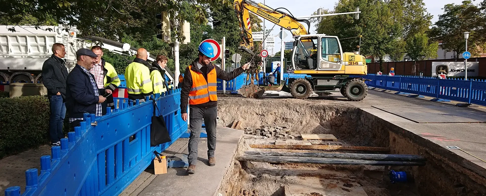
We are constantly improving the MawisPhoto service
New items added as of January 18, 2021.
New features released on January 18, 2021:
• Creation of “Construction Documentation” in the mobile
app• Ability to upload files to the server via mobile data•
Selection of existing videos or photos from the device’s
storage• Display of aerial imagery as a background for map fields in the mobile
app• Volume measurement in the 3D
viewer• Editing plotted points and vertices of geometric shapes in the 3D
viewer• Sharing 3D models via a
link• Viewing the model from a top-down perspective and opening the 3D viewer in a new web browser
tab We are constantly striving to improve the app and create a user-friendly environment for you.
If you’re not yet familiar with the MawisPhoto app, please don’t hesitate to contact us at https://tstwp.mawis.eu/en/kontakty/.
The MAWIS Services Team

More similar articles
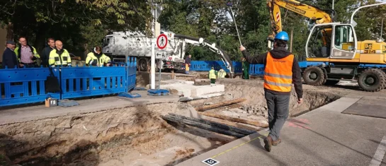
The Faculty of Civil Engineering at the Czech Technical University in Prague conducted research on the MawisPhoto service
From 2019 to 2022, the Department of Special Geodesy at the Faculty of Civil Engineering of the Czech Technical University in Prague conducted research on the MawisPhoto service.
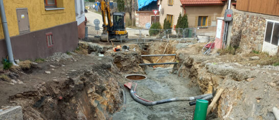
MawisPhoto at the Chotěboř construction site
On April 7, 2022, HRDLIČKA spol. s r.o. demonstrated the MawisPhoto software—Beta version—directly on-site at our construction project.

MawisPhoto is also making a name for itself abroad
Our MawisPhoto service, which allows users to create modern 3D documentation using a mobile phone, has attracted the interest of customers both domestically and abroad.


