



The third and final part of the series on the MawisUtility service
In Part 3, we’ll briefly walk you through everything that needs to be taken care of during the building permit process.
In Part 3, we’ll briefly walk you through everything that needs to be taken care of during the building permit process.

More similar articles
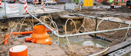
MawisUtility – 17 Years of Digital Support for Construction Management
For more than 17 years, a digital tool has been available that makes it significantly easier for builders and designers to submit requests for information regarding the location of utility lines.

MAWIS Service Integration – Complete Overview of Requests
In the MawisGeoportal environment, you can track the status of all requests submitted by an applicant in the MawisUtility application (this information is transferred automatically).
MawisUtility – DTM integration and other new features in the app
Key features of MawisUtility – integration with the Digital Technical Map – overview of submitted requests and responses in MawisGeoportal.


