


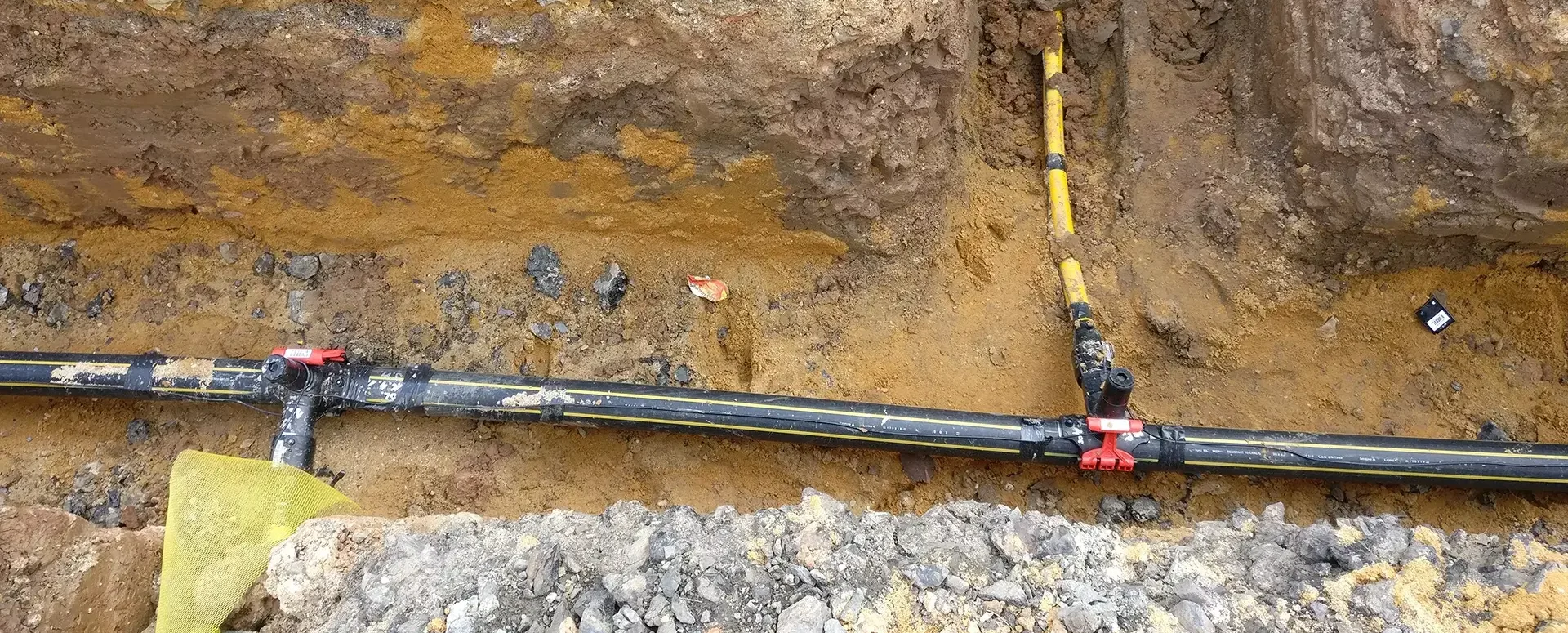
What's New in the MawisPhoto App
We are constantly making improvements and adding new features to the MawisPhoto app to make it as user-friendly as possible.
We’re constantly making improvements and adding new features to the MawisPhoto app to make it as user-friendly as possible.
So what’s new?
• We’ve simplified the documentation of alignment points
• You can now enable the measurement feature in the 3D viewer on your mobile device
• We’ve adjusted the media format so that it includes the date and time of creation.
We hope these updates will help you use the service even more effectively.
If you’re not yet familiar with the MawisPhoto app, please don’t hesitate to contact us at https://tstwp.mawis.eu/en/kontakty/.
The MAWIS Services Team

More similar articles
The Faculty of Civil Engineering at the Czech Technical University in Prague conducted research on the MawisPhoto service
From 2019 to 2022, the Department of Special Geodesy at the Faculty of Civil Engineering of the Czech Technical University in Prague conducted research on the MawisPhoto service.
MawisPhoto at the Chotěboř construction site
On April 7, 2022, HRDLIČKA spol. s r.o. demonstrated the MawisPhoto software—Beta version—directly on-site at our construction project.

MawisPhoto is also making a name for itself abroad
Our MawisPhoto service, which allows users to create modern 3D documentation using a mobile phone, has attracted the interest of customers both domestically and abroad.


