


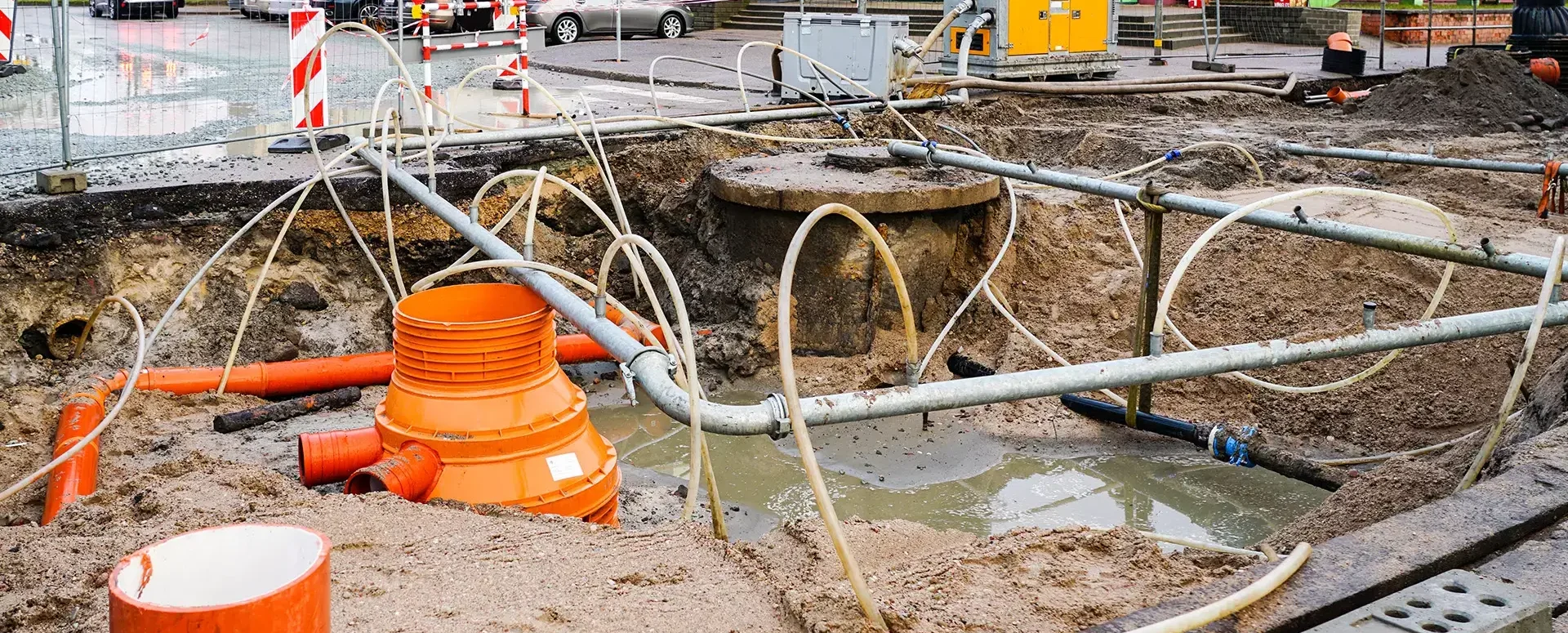
New Features for Spring 2020 in the MawisUtility Service
Since we know that MawisUtility is an indispensable tool for you, we’ve added a few new features to it.
Dear Users,
Since we know that MawisUtility is an indispensable tool for you, we’ve added a few new features. These include, for example, video tutorials right on the home page, a list of affected parcels that will be generated for you—both in the log and directly in the application—and a pop-up window that ensures you always have the latest information at your fingertips.
Thank you for your trust, and we hope you like the new features.

More similar articles
MawisUtility – 17 Years of Digital Support for Construction Management
For more than 17 years, a digital tool has been available that makes it significantly easier for builders and designers to submit requests for information regarding the location of utility lines.

MAWIS Service Integration – Complete Overview of Requests
In the MawisGeoportal environment, you can track the status of all requests submitted by an applicant in the MawisUtility application (this information is transferred automatically).
MawisUtility – DTM integration and other new features in the app
Key features of MawisUtility – integration with the Digital Technical Map – overview of submitted requests and responses in MawisGeoportal.


