


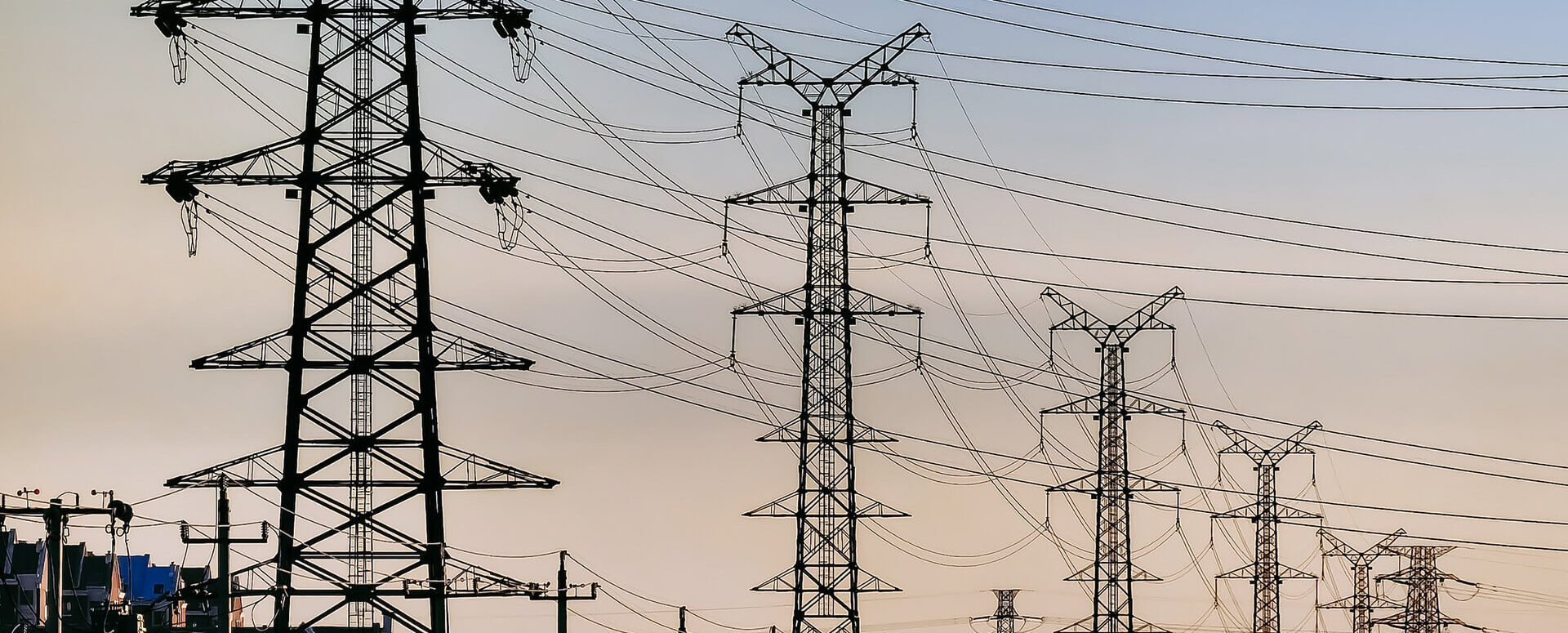
DTM ČR – A New Tool for Infrastructure Management and Planning
DTM consolidates previously fragmented data into a single digital model that can be used by both the public and private sectors.
📖 Article in TZB INFO: DTM ČR: A New Tool for Infrastructure Management and Planning.
The Digital Technical Map of the Czech Republic (DTM ČR) is a unified system used to collect, manage, and share information on transportation and technical infrastructure. It is developed in collaboration with the national government, regions, municipalities, and network operators.
What is DTM ČR and how does it affect construction processes?
The main objective of DTM ČR is to create and continuously update a central database on utility networks, transportation infrastructure, municipal areas, and other structures. Data for the system is primarily provided by network operators, builders, and designers. The outputs are then used by government agencies, municipalities, and investors.
A key change is the requirement under Act No. 47/2020 Coll. for developers to enter the location of their utility networks into the Digital Terrain Model (DTM). Failure to provide this data may result in legal consequences, particularly in the event of physical damage to the network in the field. In the event of such damage, the builder is liable.
The data must be submitted in the standardized JVF DTM exchange format. The DTM thus becomes part of the administrative process—particularly in the permitting and final inspection of buildings.
DTM has two basic layers:
- Basic Spatial Layout (BSL) – a reference for the placement of structures, including the boundaries of parcels, buildings, roads, etc.
- Transport and Technical Infrastructure (DTI) – includes utility lines (water, sewer, electricity, gas, etc.).
Designers and construction companies benefit from access to up-to-date data on utility networks before they begin the actual design work. For government agencies and network operators, the DTM serves as a single source of information for evaluating applications and managing assets.
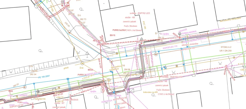
(Source: Mawis – DTM ČR and Its Significance for the Modern Construction Industry)
News from ČÚZK: DTM as a basis for final building inspections
The Czech Office for Surveying, Mapping and Cadastre (ČÚZK) coordinates the development of the Digital Terrain Model (DTM) and continuously updates the methodologies to ensure the system complies with the requirements of the Building Act. Starting in 2024, a new requirement for builders will take effect: during the final inspection of a building, the documentation must also include a geometric and positional survey of the actual construction in JVF DTM format.
In connection with the development of the Digital Technical Map, legislative amendments are being made that change the requirements for the final building approval process. An amendment to the Building Act, amending Section 232, was published in the Collection of Laws under No. 87/2025 Coll. and will take effect on August 1, 2025.
Key changes:
- Until July 31, 2025, a builder may demonstrate compliance with its obligations to the DTM by submitting the surveying section of the as-built documentation (DSPS).
- As of August 1, 2025, this procedure will no longer be accepted. The developer will be required to provide the record identifier used to upload the documentation on transportation and technical infrastructure to the regional DTM.
This identifier serves as proof that the relevant data has been entered into the DTM system in accordance with the ČÚZK methodology. The building authority will not approve the final inspection without it.
The change primarily affects linear structures—water mains, sewer lines, gas pipelines, electrical installations, and roads—but in practice, it also applies to other types of structures connected to the technical infrastructure.
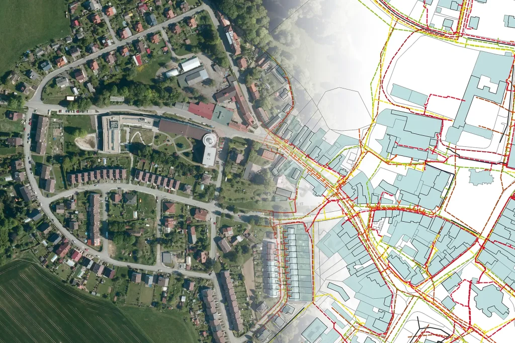
(Source: Mawis – DTM ČR and Important Changes in Building Code Compliance)
MawisGeoportal: The Czech Republic’s Digital Terrain Model in Practice
To work with the Czech Republic’s Digital Terrain Model (DTM), you can use the online tool MawisGeoportal, which allows you to view DTM data layers without having to install GIS software. Users gain access to data on utility networks, parcels, buildings, and other resources. The geoportal integrates multiple data sources into a single mapping environment.
The application is used not only by designers but also by representatives of cities and municipalities. For example, mayors use MawisGeoportal to review planned network modifications, coordinate investment projects, and communicate with residents and developers.
Mawis services help users generate outputs in the JVF DTM format, which are accepted by regional authorities. This ensures a direct link between project documentation, as-built reports, and the requirements of the authorities. This reduces errors, speeds up the permitting process, and helps meet legal obligations.
(Source: Mawis – DTM ČR and the Geoportal app)
The Future of DTM in the Czech Republic
The DTM ČR represents a shift in the approach to infrastructure data management. The requirement to submit data in a standardized format affects designers, construction companies, and public authorities alike. DTM outputs are becoming part of permitting and final inspection processes, making work easier for everyone involved. Tools such as MawisGeoportal allow users to view and work with the data.
The requirement to share data with the Czech Digital Map (DTM ČR) is therefore a crucial step toward modern, efficient, and secure management of technical and transportation infrastructure, which benefits all stakeholders and contributes to the overall quality of infrastructure in the Czech Republic.

More similar articles

Handover without complications—we’ll handle the data entry into the Czech Republic’s Digital Terrain Model (DTM) for you
Are you finalizing the building inspection? We'll take care of entering the data into the DTM ČR and issuing the PGAD and EDTI identifiers for you.
How do I obtain a record identifier in the Digital Technical Map?
It is now mandatory to provide the Digital Technical Map record identifier when applying for a building occupancy permit. We can help you with this.
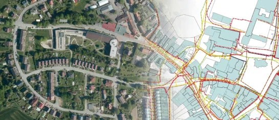
Digital Technical Map and MAWIS Services – Potential for Construction, Management, and Maintenance
MAWIS's digital services, in conjunction with the Digital Technical Map, support the construction process in the Czech Republic.


