



Digital Technical Map of the Czech Republic and the Geoportal Application
How to effectively prepare utility network data as part of the DTM ČR project, and how the Geoportal can help you manage it.
What are DTM and the Geoportal?
Digital Technical Map of the Czech Republic (DTM CR) = a national system for managing and providing access to spatial information on technical and transportation infrastructure.
Mawis Geoportal = a mapping application that allows you to manage, visualize, and link your utility network data with the Digital Technical Map of the Czech Republic.
Systems are only as good as the data they contain: we can help you prepare data for DTM and manage it in the Geoportal.
Please note: This is a legal requirement!
Act No. 47/2020 requires owners of technical and transportation infrastructure to record the location of their networks in the Czech Digital Terrain Model (DTM ČR).
By linking your data to the DTM ČR project, you will comply with legal requirements and, through the Geoportal application, gain access to comprehensive information about infrastructure throughout the Czech Republic.
Having data that is digital, complete, and viewable is a must these days!
How can we help you help others?
We can help you with DTM. Together, we can handle data creation and maintenance!
Services offered to all network owners, managers, and operators:
- Data Analysis and Preparation – We will prepare and process your data.
- Conversion to JVF DTM Format – We’ll handle the conversion of your data.
- Uploading to the DTM ČR system – We’ll ensure error-free data sharing.
- Data Visualization in the Mawis Geoportal – We’ll make the data available to you in the map application.
Advantages and Benefits
By ordering our services, you will receive:
- Compliance with legislation – Fulfillment of all obligations regarding data sharing.
- Digital and easy-to-understand data – Easier navigation and efficient data management.
- Quick and easy access to information – Online visualization in a map application.
- Efficient Work and Planning – Accurate Data for Better Decision-Making.
Why choose us?
- We are participating in the development of the DTM CR Information System
- We are involved in defining the JVF DTM data format
- We collect and process DTM data across seven regions
- A team of experts in CAD and GIS projects with over 20 years of experience
We can help you with DTM. Together, we can handle data creation and maintenance!
Contact Information
Would you like to know more? Please don’t hesitate to contact us.
Ladislav Bláha +420 724 863 431 | ladislav.blaha@hrdlicka.cz
Miroslava Kubíčková +420 602 477 250 | miroslava.kubickova@hrdlicka.cz

More similar articles
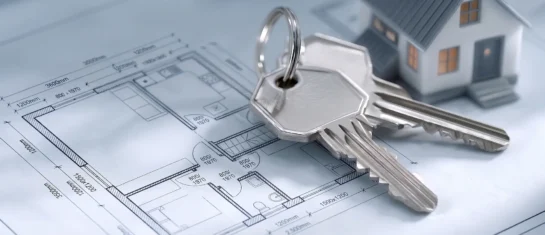
Handover without complications—we’ll handle the data entry into the Czech Republic’s Digital Terrain Model (DTM) for you
Are you finalizing the building inspection? We'll take care of entering the data into the DTM ČR and issuing the PGAD and EDTI identifiers for you.
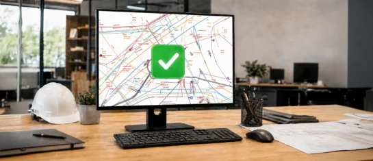
How do I obtain a record identifier in the Digital Technical Map?
It is now mandatory to provide the Digital Technical Map record identifier when applying for a building occupancy permit. We can help you with this.
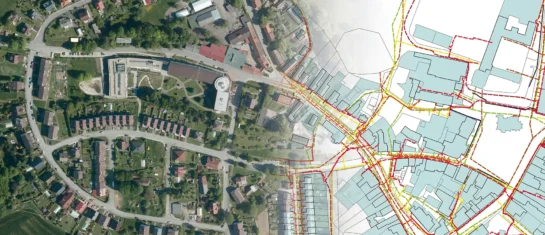
Digital Technical Map and MAWIS Services – Potential for Construction, Management, and Maintenance
MAWIS's digital services, in conjunction with the Digital Technical Map, support the construction process in the Czech Republic.


