


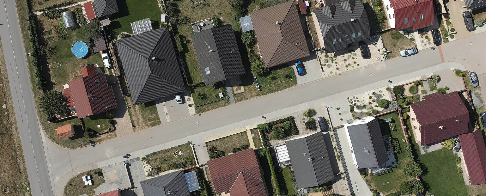
MawisTools – Search for affected cadastral parcels and LPIS land blocks
Case Study: HG elektro’s Use of MAWIS Tools
About the Client: HG elektro is a specialized company engaged in the design of distribution networks for energy companies (ČEZ Distribuce, a. s., and EG.D, a. s.), including the coordination of construction projects and the handling of property-related matters. The company’s key objective is to provide high-quality services with an emphasis on accuracy, efficiency, and minimizing errors when negotiating projects with affected parties and handling easement agreements with the owners of the affected properties.
Problem: HG elektro often encountered difficulties in locating the relevant parcels and maintaining accurate documentation during the negotiation of easement agreements. Traditional methods required either a “manual” and often error-prone compilation of individual owners’ data from the Land Registry, or the use of expensive CAD design systems that were complex to operate, required knowledge of specialized software, and thus tied up the time of professional designers. Furthermore, data from the Land Registry (KN) was sometimes outdated, leading to inaccuracies and unnecessary complications when repeatedly contacting incorrectly identified owners of the relevant parcels.
In addition, data from the LPIS (Land Parcel Identification System) is required for design work and is used in dealings with agricultural land users. In the past, this data was also obtained “manually” through the LPIS application, with a potential margin of error when extracting information on individual owners.
Solution: HG elektro decided to use the MAWIS Tools system and its key feature, “Search for Affected Parcels in the Cadastral Register,” along with its related feature “Search for LPIS Land Parcel Blocks” as a solution to reduce the error rate and speed up the processing of easement agreements.
Benefits of MAWIS Tools for HG elektro:
- Quick and easy to use: MAWIS Tools offers a user-friendly and intuitive interface that does not require specialized knowledge of CAD systems. The administrative staff at HG elektro quickly became familiar with the application’s features and did not need to undergo complex training.
- Low costs: MAWIS Tools does not require a license for expensive CAD design systems, which means lower software costs. The application is accessible as a web-based application that runs in a browser, eliminating the need to invest in additional specialized technologies.
- Searching for Affected Parcels: The “Search for Affected Parcels in the Cadastral Register” feature allows you to quickly and easily identify parcels that are affected by proposed electrical installations. This allows staff to easily obtain the necessary information for negotiating easement agreements with property owners.
- Up-to-date Land Registry Data: MAWIS Tools uses up-to-date Land Registry data that is updated daily. This ensures that HG elektro always has access to the latest information on the relevant parcels and does not have to worry about inaccuracies caused by outdated land registry data from an outdated SPI VFK file.
- Reducing Errors: Using MAWIS Tools with up-to-date data from the Land Registry minimizes the likelihood of errors when searching for owners and reviewing documentation for the relevant parcels. Accurate and up-to-date information from the Land Registry contributes to greater reliability and quality in contract negotiations.
- Faster Contract Processing: Thanks to a simple and quick search for the relevant parcels using up-to-date data, the entire contract processing workflow is more efficient. Staff have quick access to the necessary data, which facilitates communication with property owners and speeds up the entire process.
By integrating MAWIS Tools with up-to-date cadastral data into its workflow, HG elektro has significantly reduced its error rate, expedited the processing of easement agreements, and gained access to the latest information on the parcels in question. The application has become a key tool for accurate and efficient work with the real estate cadastre, which has led to improved quality in project preparation and increased customer satisfaction.

The Services Mentioned

Analysis of Data and Drawings
More examples of usage
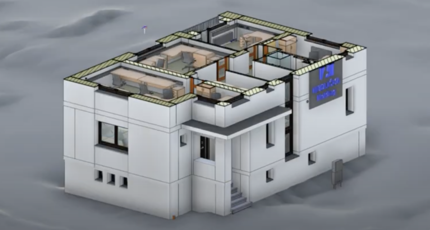
MawisGeoportal – Practical Support for Construction Projects: The Case of the Strakonice Villa
Geodata, cadastral records, digital terrain models, and project documentation—all in one place. A demonstration of how MawisGeoportal is used in Strakonice.
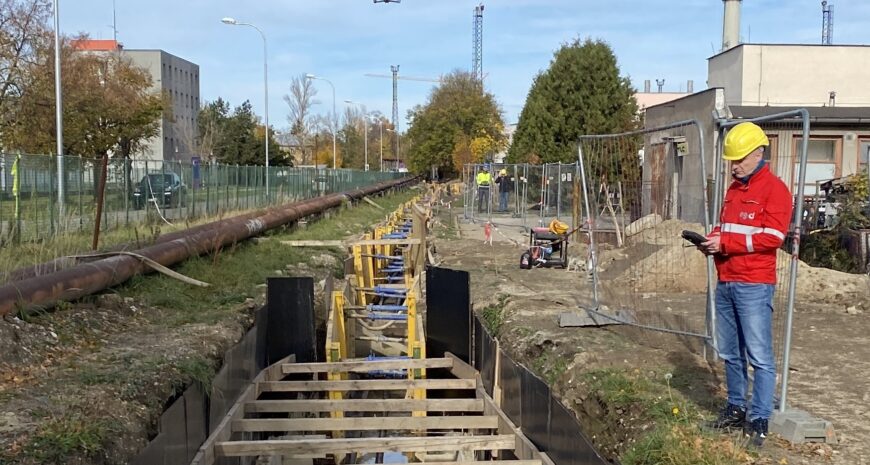
MawisPhoto is revolutionizing the way utility networks are documented
A pilot project for EG.D at a substation demonstrates the potential for safe and efficient 3D data collection in the field, as well as for low- and medium-voltage systems.


