MawisPhoto is revolutionizing the way utility networks are documented
A pilot project for EG.D at a substation demonstrates the potential for safe and efficient 3D data collection in the field, as well as for low- and medium-voltage systems.
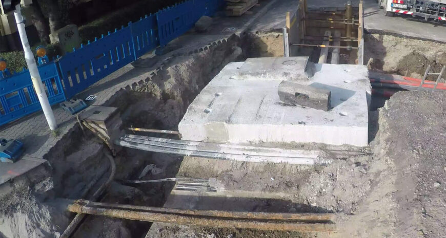
Thanks to new technologies, the digitization of construction documentation is taking on a whole new dimension. HRDLIČKA spol. s r.o., in collaboration with EG.D, a.s., has tested a solution that enables the quick and accurate capture of 3D documentation of excavations and cable routes directly in the field—using a mobile phone. The technology, called MawisPhoto, is designed not only for surveyors and technicians, but also for network administrators, designers, and investors.
What is MawisPhoto?
Imagine a service that simplifies and speeds up the documentation of construction projects using a mobile phone with third-class accuracy. The 3D models created in this way allow for inspection of the structure, materials, and construction, as well as measurement of volume, excavation depth, distance, and length.
MawisPhoto can generate the following outputs: a color point cloud, a 3D model, a BIM model, an orthophoto, a digital surface model, and more.
How did the EG.D. client’s project develop?
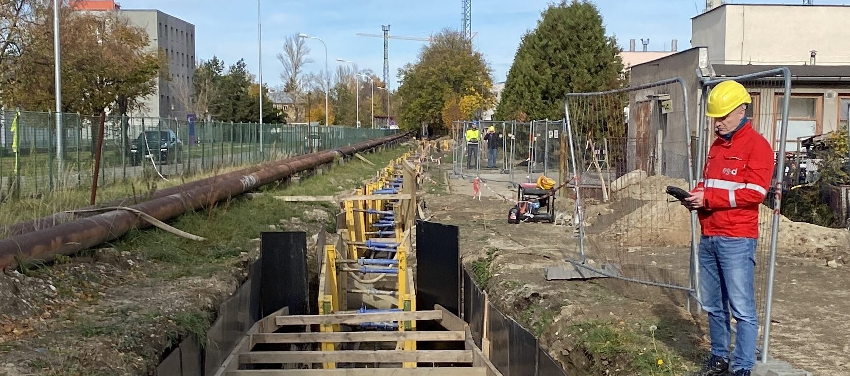
Initial testing was conducted at the low-voltage (LV) level, where scanning the trench using a standard mobile phone with an app installed proved effective. Thanks to this method, it was possible to create an accurate 3D model of the underground utility lines—with outputs that are fully compatible with GIS systems and available online.
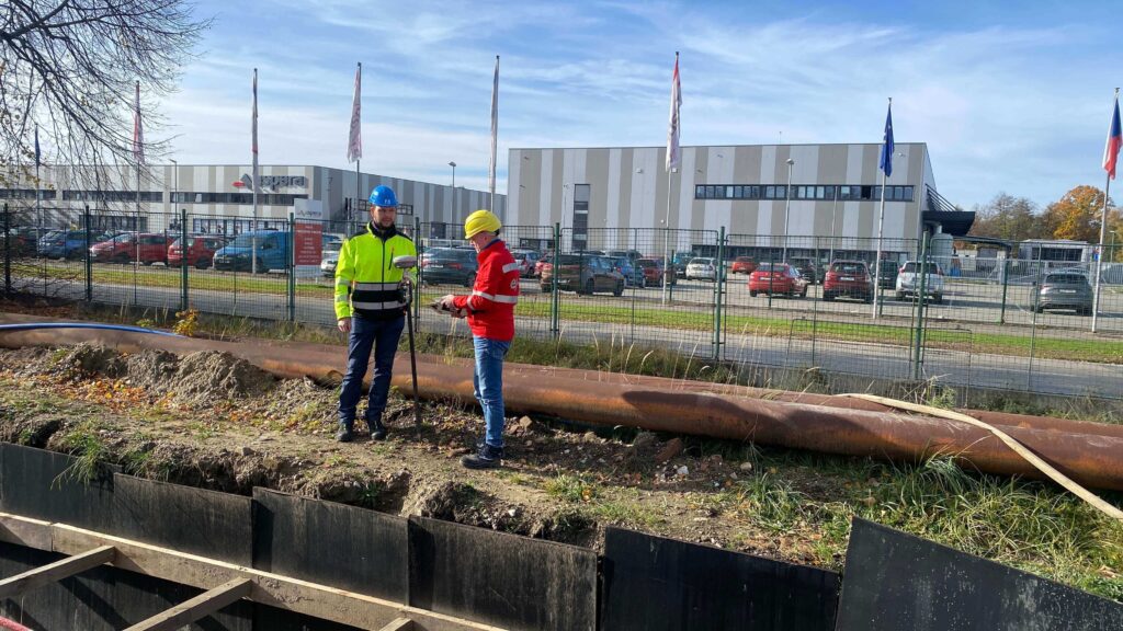
To ensure the accuracy of the final model, a trained technician surveyed the excavation site strictly in accordance with the specified instructions (filming the site with a mobile phone in landscape orientation, continuously without interrupting the video, and walking around the entire site using control points or a measuring tape).
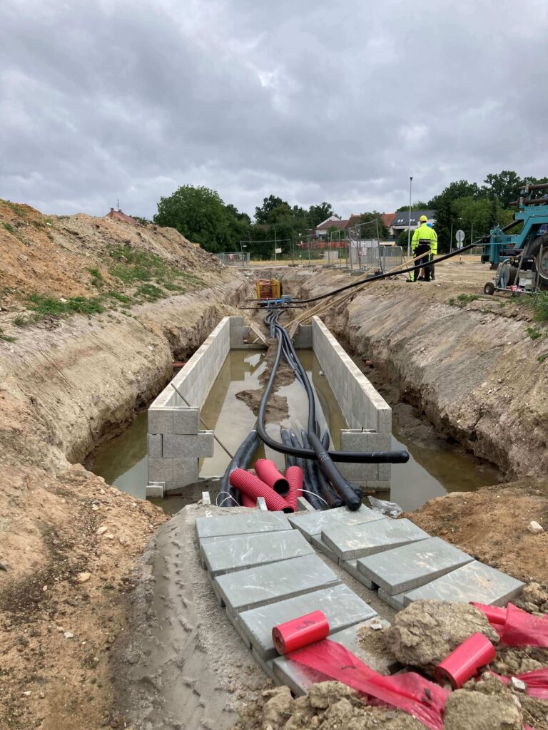
Subsequently, the GIS Documentation Management team at EG.D took the use of the MawisPhoto tool to the next level—extra-high voltage (EHV). The construction of the new 110/22 kV České Budějovice Střed substation was chosen as a highly suitable test site. The focus was specifically on the 110 kV feeder cable line, where data collection took place.
Why was a drone also used to collect data?
In the past, data collection was carried out using a mobile phone. However, for the follow-up project, management decided to deploy a drone instead—primarily due to the length of the route, safety concerns, and the need to verify data quality from a higher altitude. The advantages of using a drone were clear:
- Efficiency: The surveyed section was approximately 170 meters long. The drone was able to collect all the necessary data in 15 minutes. In contrast, manual data collection using a smartphone would have taken about 1.5 hours.
- Safety: Mobile data collection requires the operator to move along the trench—on both sides—often in difficult terrain. The use of a drone eliminates these risks.
- Data quality: Despite the greater altitude at which the images were captured, the resulting 3D models proved to be highly accurate. The quality is only slightly lower than that achieved when using a smartphone, but it is fully sufficient for documentation and analytical purposes.
What results did the client receive, and how will they use them going forward?
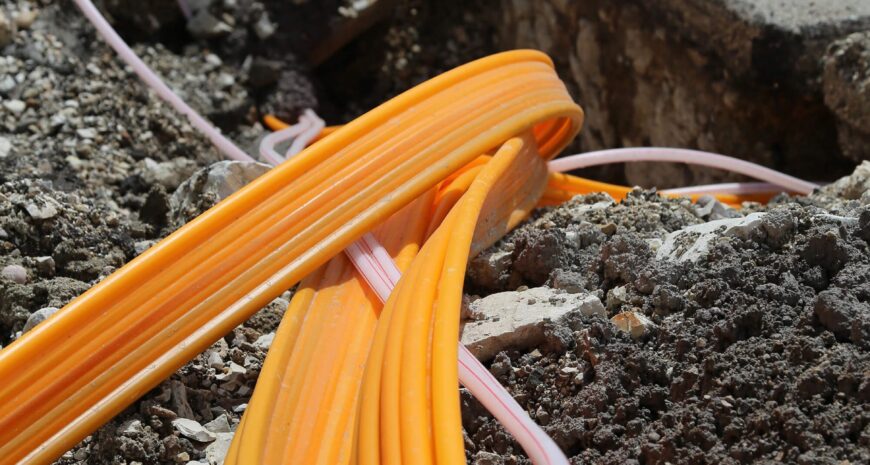
So far, four 3D models showing the cable routing have been created from the collected data, including the junction at the Mladé substation. The models are available online, including the option for direct visualization and data manipulation. Data collection continued in the following months and during the construction phases of the 110/22 kV ČB Střed substation.
“We consider drone-based data collection to be a great success—the data obtained is of high quality, and the process itself is not only faster but also safer. We believe this method will soon become a standard part of utility network documentation,” says Libor Straka, M.Sc., from the GIS Documentation Department.
Learn more about MawisPhoto

The Services Mentioned